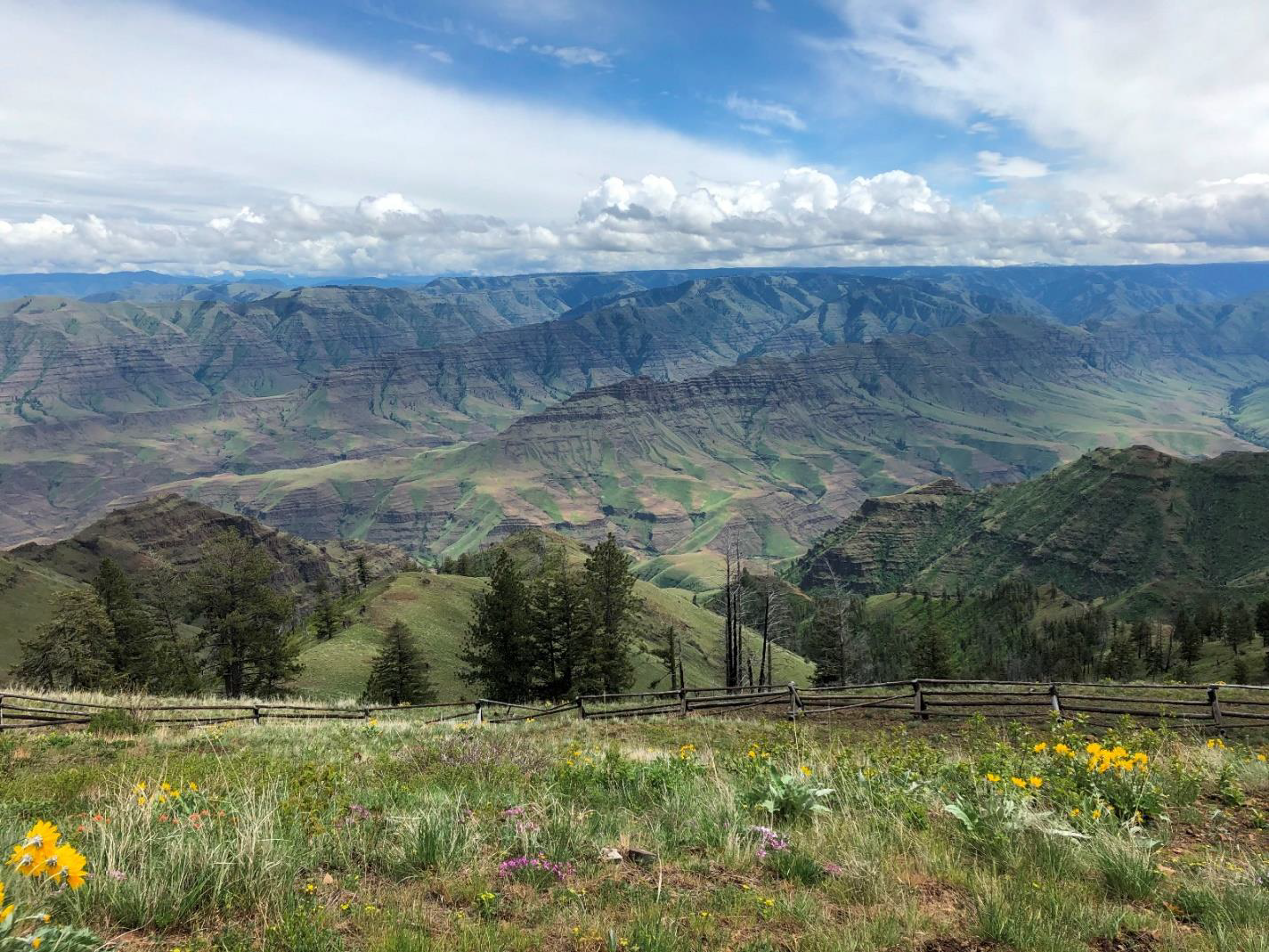


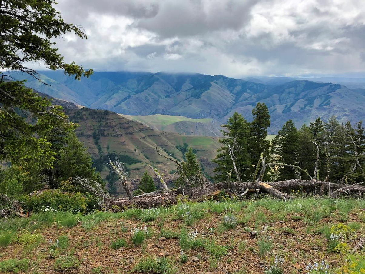
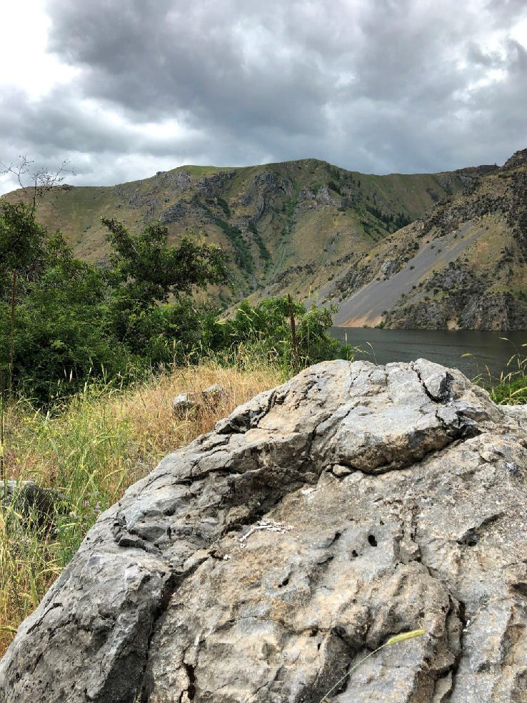


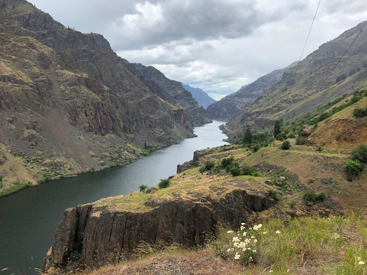


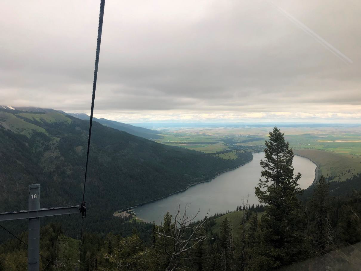

We were directed up here by guest field trip leader Ellen Morris Bishop as this is the best overlook of the eastern canyons area for observing the ranks upon ranks of Columbia River Basalt flows that override the exotic terrane rocks of Hells Canyon, Imnaha Canyon and the Zumwalt Prairie through which we had travelled to get there. We are actually looking down into Imnaha Canyon here and Hells Canyon is just over on the other side of the last green ridge you can see. The blue ridge beyond is the eastern wall of Hells Canyon.
(Photos by Carol Hasenberg unless otherwise marked.)
The lineation of the canyon walls reflects individual flows of each formation. The grassy bench in the lower portion of the canyon marks the top of the Imnaha.
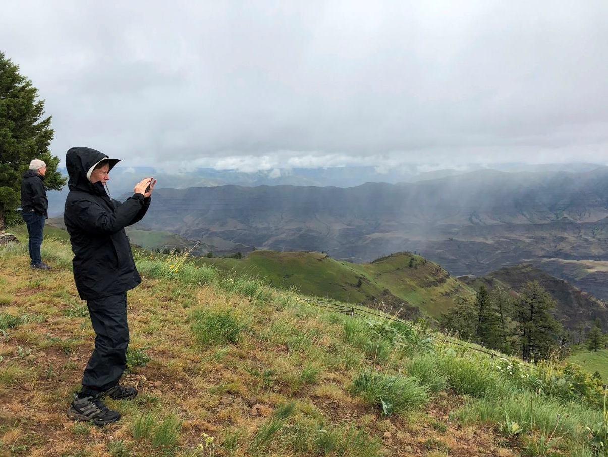
(Another reason that I’m showing this picture is to contrast this nice partly sunny day in May with the partly rainy and cold ‘Junuary’ day we got for the official trip. In fact, we did not plan to do Buckhorn on the first day of the field trip, but the weather forced us to rearrange the days a bit to save the nicer weather for the day of the hike.)
The confluence of the Imnaha and the Snake occurs just to the left of the prominent ridge in the canyon.
The buttes are shield volcanoes from the last of the Grande Ronde flows capping the prairie. Overlying the basalt are various late Miocene ash flow tuffs and windblown loess from the Ice Ages, giving the prairie features a soft, rounded appearance.
These ‘biscuit scablands’ or ‘mima mounds’ are believed to have been sculpted by generations of pocket gophers, who frequently scurried across the path of the vehicles.
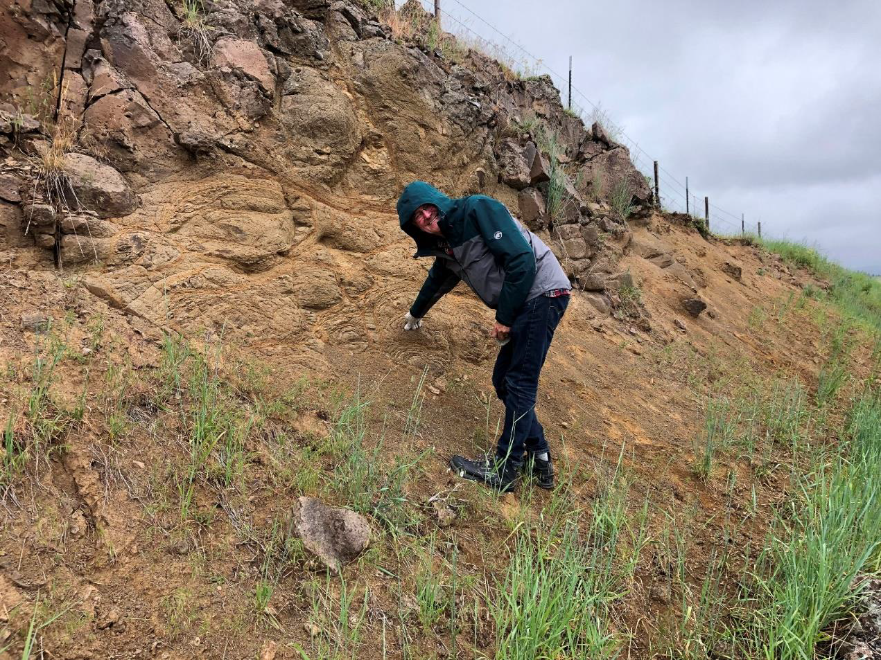
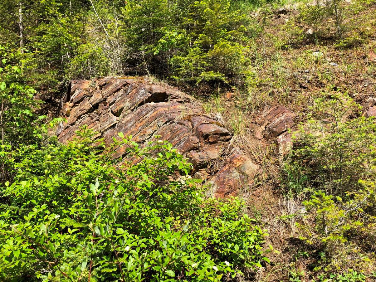
Pillow basalts form under water and exhibit radial cracking patterns.
The Nez Perce stripped bark from the trees to mark the camp site, which can be seen on the Ponderosa pines over Dave’s shoulder.
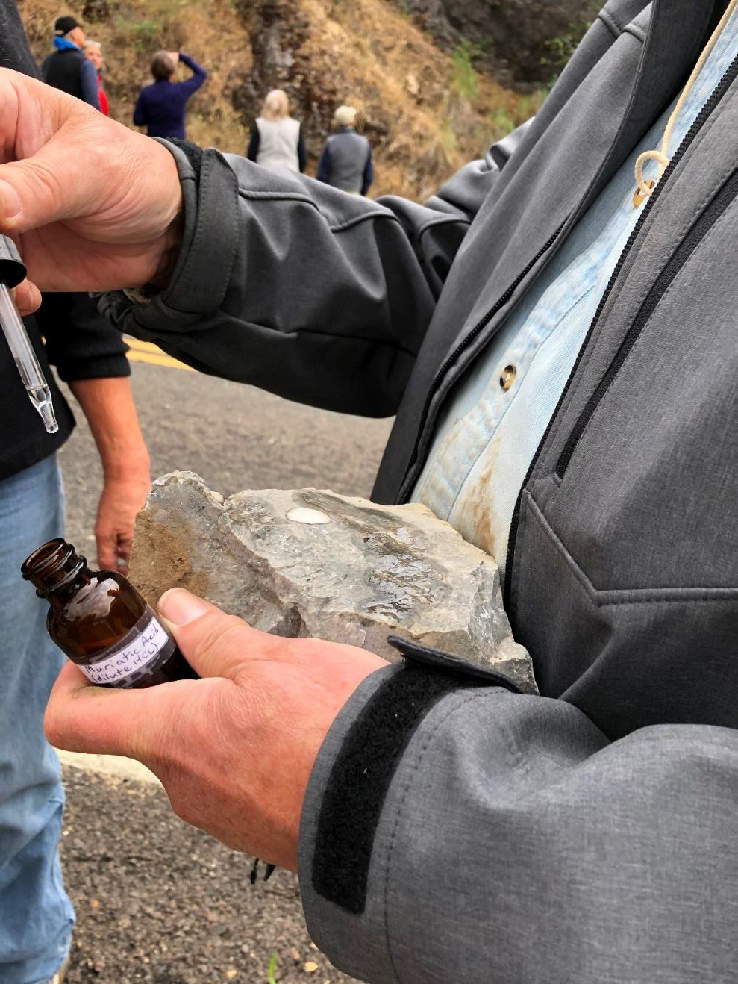
A tuffaceous material erupted during the Grande Ronde flows, Bowlby stone was a popular material because it cut easily when wetted. Larry hams it with the detective work.
Concrete is on the left and real Bowlby stone is on the right.
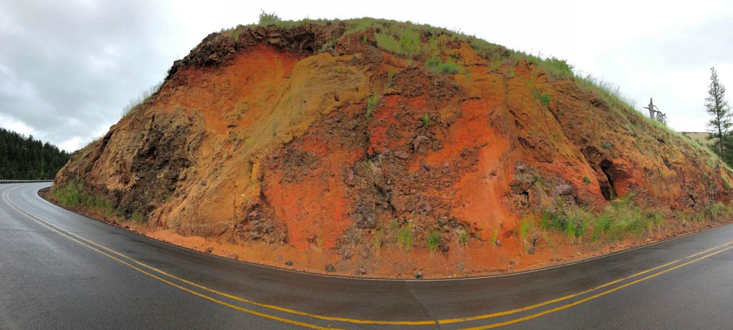
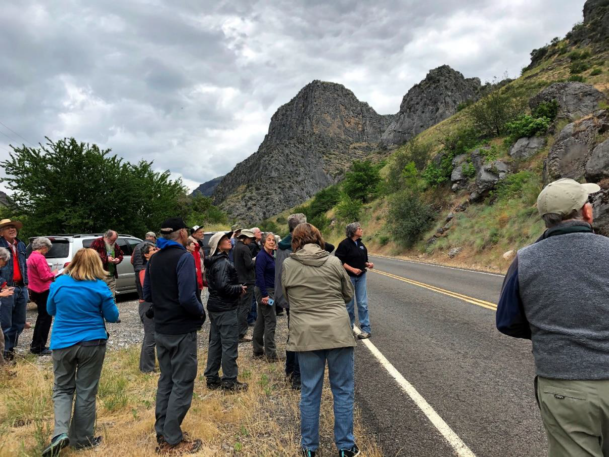
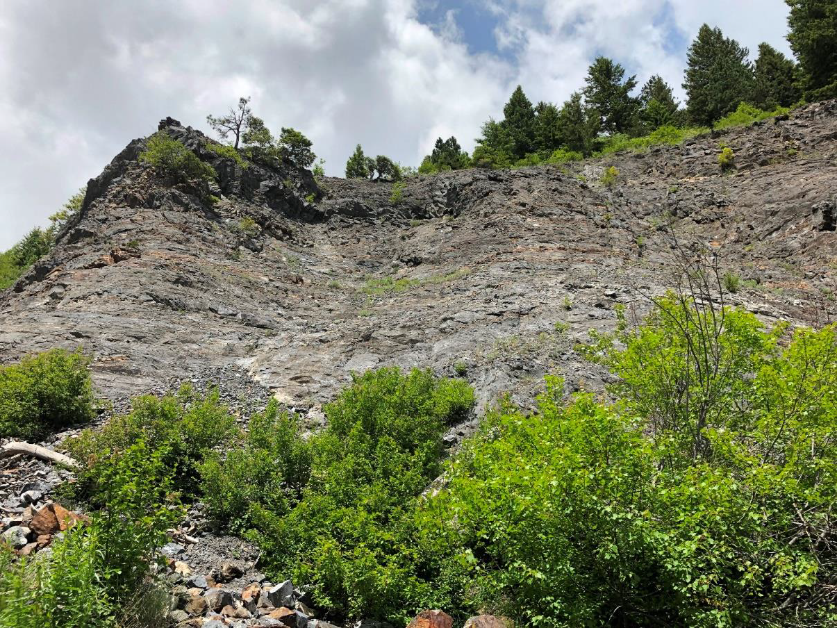
Stop 1 on Highway 350, just a few miles from Joseph, was a roadcut through a phreatic explosion of Grande Ronde basalt. The explosion was a result of water or mud mixing with the hot lava. Pelagonite was produced in the eruption, and it is characterized by the sulphurous yellow of the mineral limonite.
In the closest ridge shown in the picture we see the CBRG. From the overlook we could also see folded swirls of the marble of the Martin Bridge Formation.
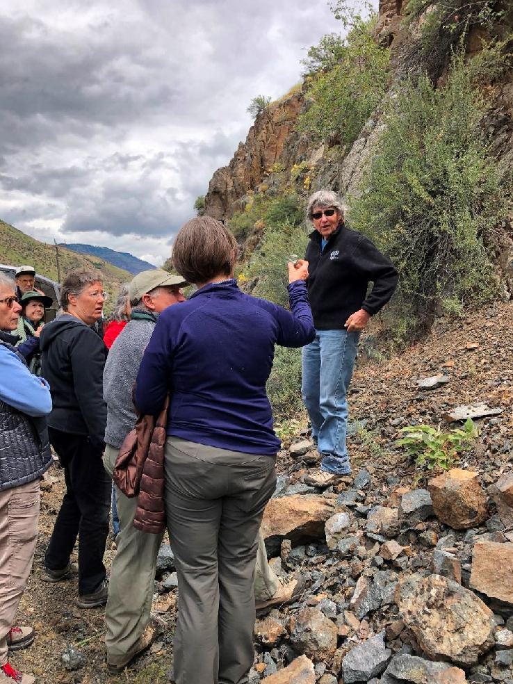
These were formed when the ancestral volcanic rocks of the Wallowa Terrane, from the Permian period, metamorphosed under the pressure of the accretionary process. Bishop answers some questions from the participants.
For you mineral buffs, in his book Islands and Rapids, Tracy Vallier describes the volcanic rocks of the Hunsaker Creek Formation as metamorphosed to the greenschist facies, changing the composition to keratophyre or quartz keratophyre, rich in the minerals quartz and albite with minor amounts of chlorite, epidote, and calcite.
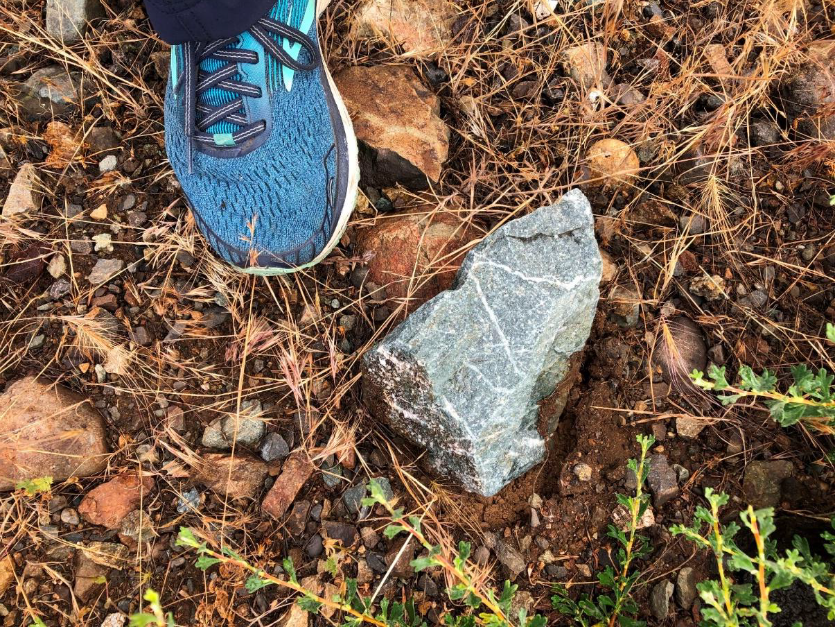
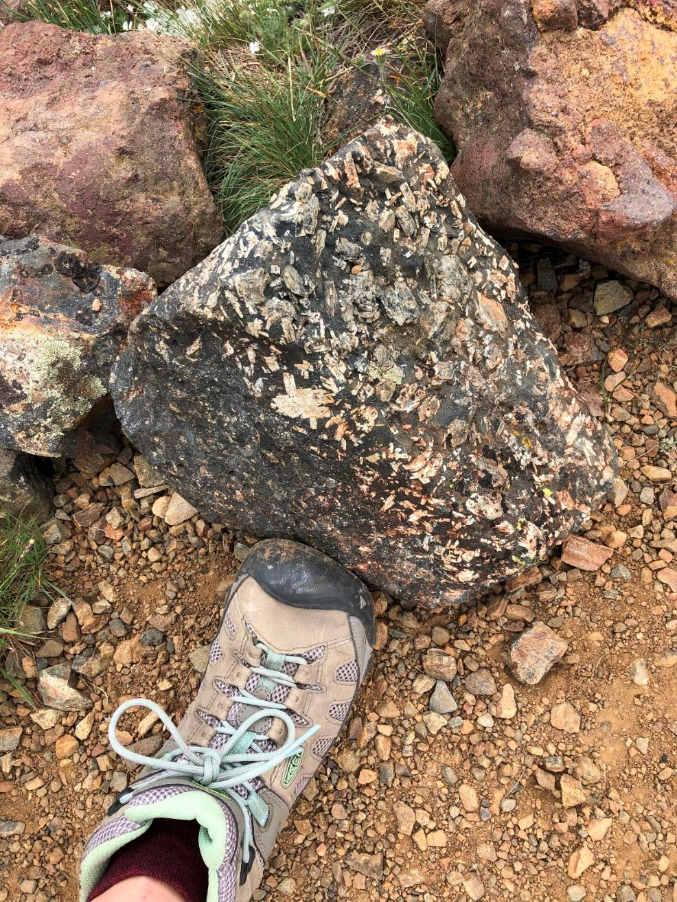
We stopped near there on the return from the canyon to observe some tiny fossil imprints still present in the rock, and cracked some samples open to smell the ‘petroliferous’, or oily-sulfurous smell still present therein from the decay of organic material in the original limestone.
I did not take notes at this stop.
Tracy Vallier says that some flows and sills of the Wild Sheep Creek Formation have glomeroporphyritic textures and shows in the book Islands and Rapids a similar rock from a stop near Hells Canyon Dam.
The Triassic Wild Sheep Creek Formation is more mafic than the Permian volcanic strata of the Wallowa Terrane, and it forms the steepest cliffs of Hells Canyon. Its volcanic rock origins were basalts and andesites, from lava flows, pyroclastic rocks, and breccia from debris flows, and turbidites, intermingled with small amounts of limestone.
On the way up the group stopped at an outcrop of the ‘Lower Sedimentary Series’, sedimentary rocks somewhat older than the Martin Bridge Formation and forming the base of Chief Joseph Mountain.
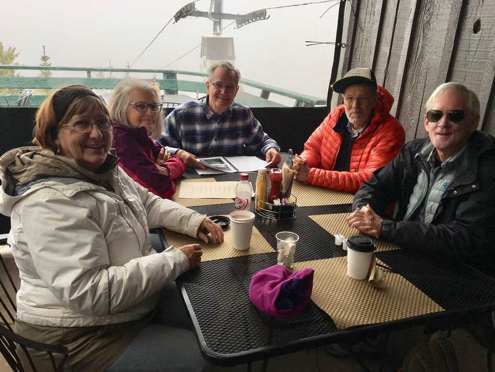
This is my ‘relaxed paced group.’ Woody English, Sheila Alfsen, Dawn Juliano, Jan Kessler, Carole Miles, I think that is Kitty Reed hiding behind Annie English, author Carol Hasenberg, and Bonnie Prange. None of us felt like endangering ourselves on the Falls Creek crossing, which was quite treacherous, so we hung out and looked at rocks in the creek bed and Kitty and Sheila led an impromptu learning session with those rocks. Then Jan Kessler, Carole Miles and I got brave and climbed the (slightly less) treacherous scree path to the falls on Falls Creek.
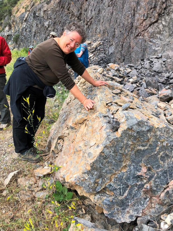
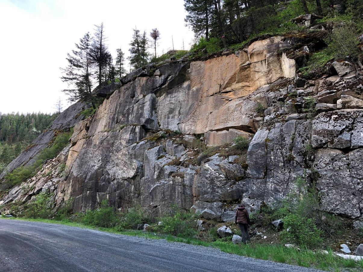
Here we saw this impressive outcrop of Wallowa Batholith granodiorite at the Pole Bridge Picnic Area, where we had a little picnic. This most northerly tongue of the batholith is the most accessible view of 125-140-million-year-old rocks of the stitching plutons that mark the accretion of the Wallowa Terrane onto North America.
During the picnic, the group had a lively discussion of why the moraines of the Wallowa River at the outlet from the Wallowa Mountains, which form Wallowa Lake, were so much bigger and more pronounced than those of the Losteen River, whose mountain valley is nearly straight and much longer than that of the Wallowa River. After much discussion, we covered parameters such as the steepness of the Wallowa River course vs. that of the Losteen, barriers to sediment transport, etc. Also I just thought of another reason – the hardness of the material the glaciers had to carve (i.e., the Wallowa Batholith vs. the sedimentary rocks of the Wallowa Terrane). Any takers?
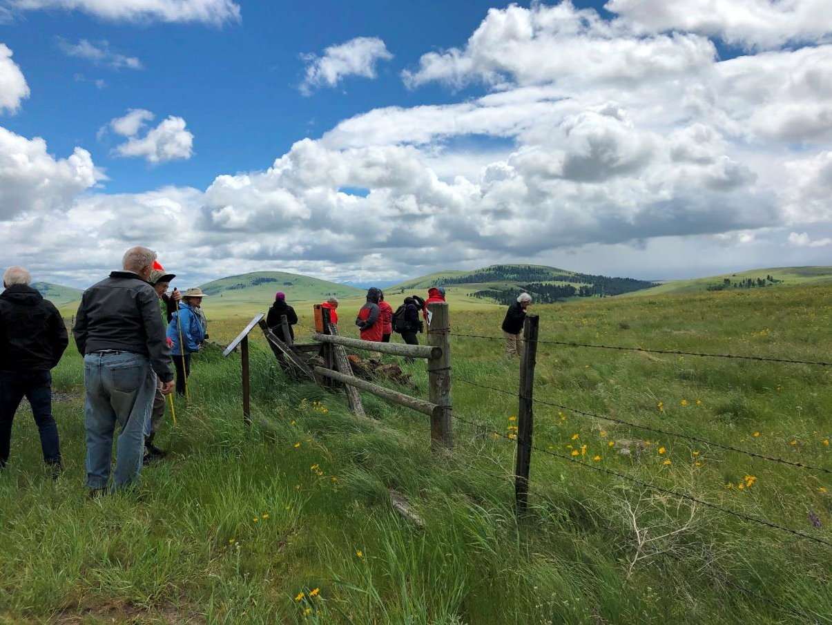
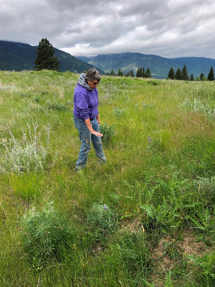
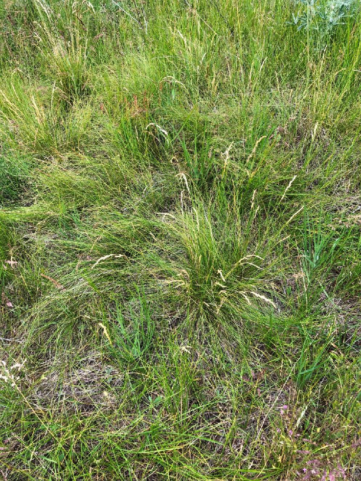
Ellen used this portion of the trip to discuss the fragile ecology of the moraine bunch grass prairie – this area is one of the few remaining stands.
The list included Great Basin wild rye, bunchgrass, buckwheat, pickoon, lupine, cheat grass, timothy, salsify and arnica.
This protective barrier is easily disturbed by grazing animals.
Photo by Annie English.
GSOC • P.O. Box 80133 • Portland, OR 97280 • communications@gsoc.org