Day 6 of the 2020 trip to Eastern Washington
/Carol Hasenberg, Past President of GSOC and current Field Trip Director, visited eastern Washington recently with her husband John. They based the trip primarily upon the geologic topics covered in the “Nick From Home” video series by CWU professor Nick Zentner. If you’ve come in through the back door, i.e., Facebook or some other link directly to this page, you may want to start at the introduction page to the trip.
Overview of Day 6.
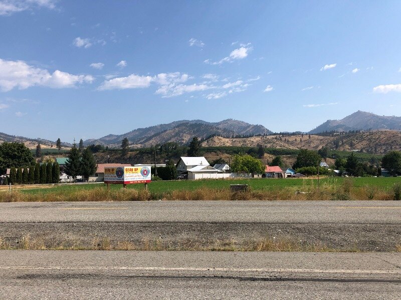
Aah, the luxury of waking up in an air conditioned room, in a bed with sheets and our own bathroom, too! Yet we still ate our own breakfast food (COVID-19) and prepared to face the hottest day of the week!
Washington Terrane Map. Click to enlarge.
Our plan was simple: it’s gotta be cooler up in the mountains, and there will be some trees, too! Plus, we wanted to see the Mt. Stuart area and so it seemed like a good plan to do the hike around Icicle Gorge.
Icicle Gorge geology map, from USGS published “Geologic Map of the Chelan 30-minute by 60-minute Quadrangle, Washington” by Tabor et al. Click to enlarge
The Icicle Gorge hike was listed in the Carson and Babcock reference, plus I consulted a website before we left on the trip called Washington Trails Association Hiking Guide. The WTA guide turned me on to the fact that dogs are not allowed on the hikes that go up into the Enchantments, the bowl-shaped area enclosed by Mt. Stuart and the other peaks of the Stuart range (all comprised of Mt. Stuart granite). But they are allowed in the campground area trails (ie, Icicle Gorge) and trails on the outside of the Enchantments area, like Ingalls Creek. Oh BTW, Nick Zentner did an episode of his latest Nick on the Fly series (Livestream #2 Beverly Creek Serpentinite), a bit west of Ingalls Creek but still in the Ingalls Complex, a former ophiolite, or packet of rocks from the seafloor.
Surrounding Icicle Creek there is also the Chiwaukum Schist, a Cretaceous metamorphic version of sediments of the Triassic seafloor, and of the Nason Terrane. Miller & Cowan have a nifty terrane map of North Cascades National Park on pag. 110 of Roadside, plus Carson and Babcock have 2 terrane maps on pgs. 91 and 92 of Hiking Guide. An online animation from the Washington Geological Survey also ends with the current terrane map, which I have included above.

Detailed map of several stops of Day 6.

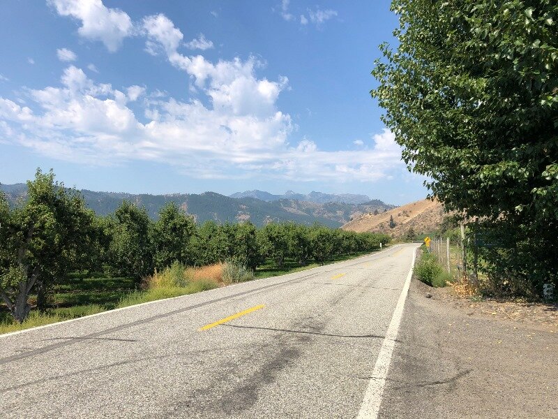
Satellite view of Peshastin Pinnacles showing sandstone ridges as layers of sediment of the Chumstick Formation, which filled the Chiwaukum graben 49 to 45 Ma. The dip, or angle of the surface of the layers with the horizontal, is very high, as they are nearly vertical.
We set off for Icicle Gorge with a couple of planned short stops along the way. John wanted to visit a bakery, and since the ones in Wenatchee were a distance from the roads we were taking, we decided to stop in the little town of Cashmere, Washington. Turns out Cashmere is the home of Aplets and Cotlets, and it had that small town charm.
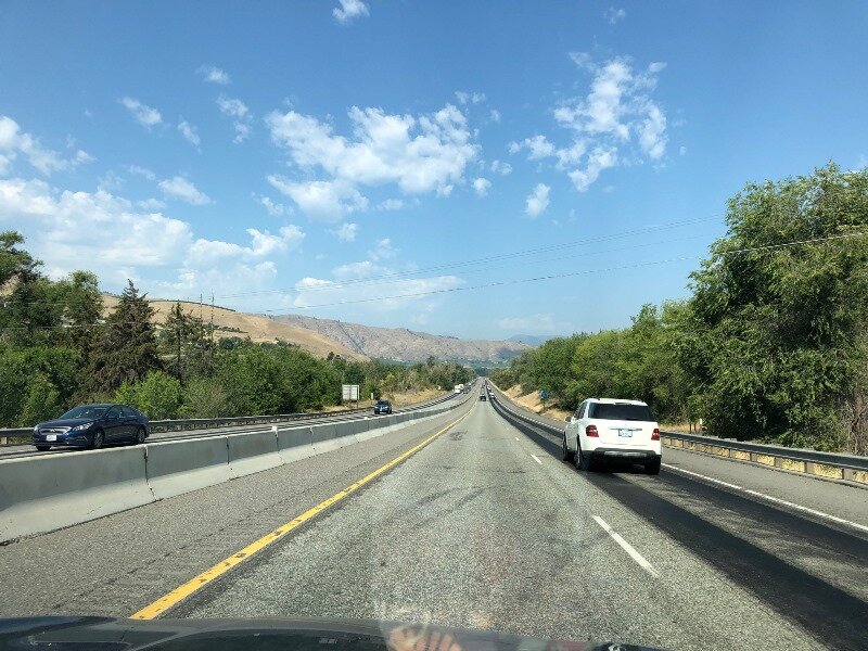
After John scored at the bakery, we headed to the Peshastin Pinnacles SP. On the way to Cashmere we had descended into this broad valley littered with little hills of sedimentary rocks of the Chumstick Formation, with steeply tilted layers. The Peshastin Pinnacles is the showpiece of the Chumstick, where hard sandstone layers stick out above the other material. We got to the park but could not get in (a COVID-19 closure). Still, we got some pictures of the pinnacles.
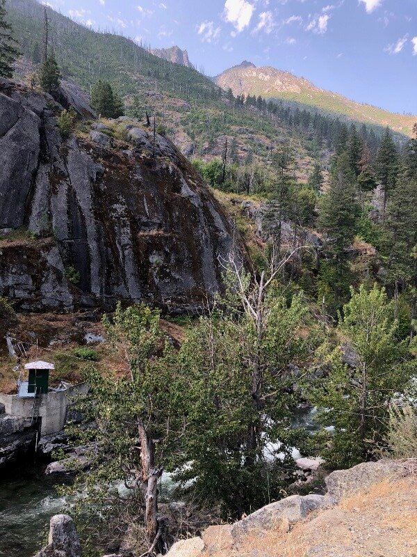
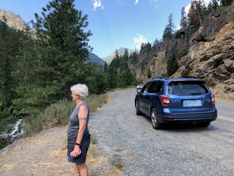
It took awhile to get out to the Icicle Gorge Trailhead, but the scenery was fun and the road was paved I think to the Johnny campgrounds, so we only had a mile or two of gravel road. Driving upstream, we stopped at every campground but did not see any open campsites, and we were glad we’d changed our lodging plans for the final days of the trip.
Trail map of the Icicle Gorge Trails. Click to enlarge.
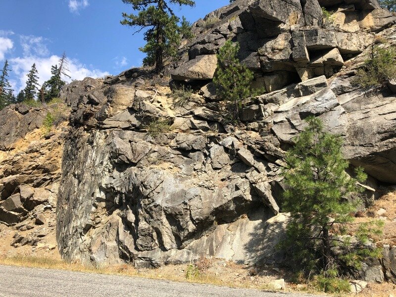
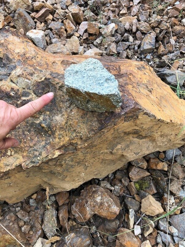
On the way up to the trailhead we also passed a lot of outcrops, and these were in the Mt. Stuart batholith. According to the Chelan 30’x60’ quadrangle, on the left the batholith rocks were tonalite and granodiorite, and on the right they were gabbro and diorite. Another interesting fact about the Mt. Stuart batholith is that starting in 1972 with the work of Myrl Beck of Western Washington University, paleomagnetism of this batholith and other bodies in the region have gotten geologists to wondering if this body and several others were formed 2500 km or so to the south and rode the tectonic conveyor belt up to Oregon, Washington and British Columbia. This really put some complications on how they had viewed the subduction of the Farallon Plate but also explained some other strange places in the Washington geologic mishmash. This theory is called Baja-BC and, you guessed it, Nick From Home #Livestream #10 - Baja BC Exotic Terranes has got the topic covered. Plus you can see an interview with Myrl Beck on Nick on the Fly Livestream #13 - Baja BC with Myrl Beck. I’ve also put a few references at the bottom of the page for those of you who like to get the data “from the horse’s mouth.”
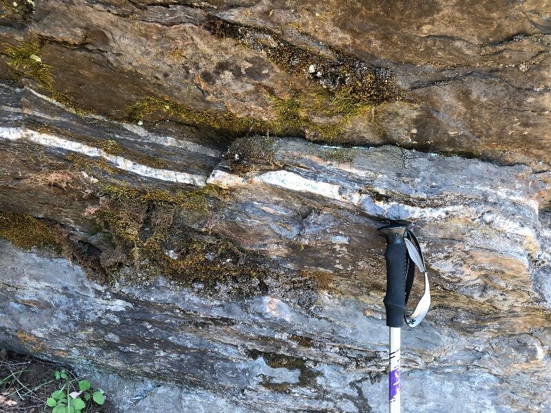
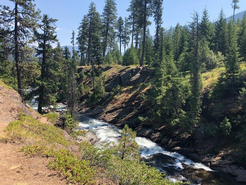
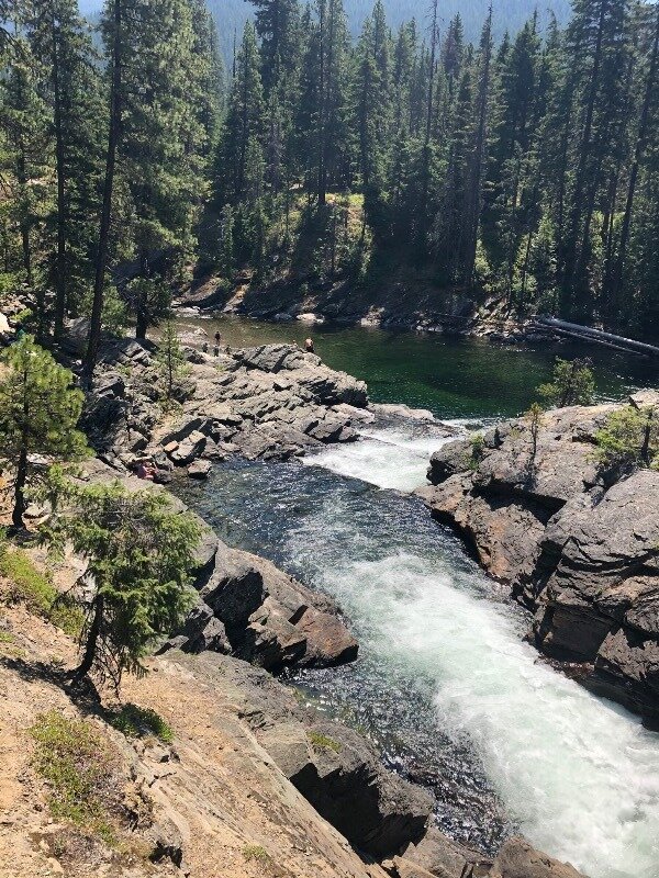
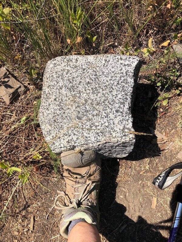
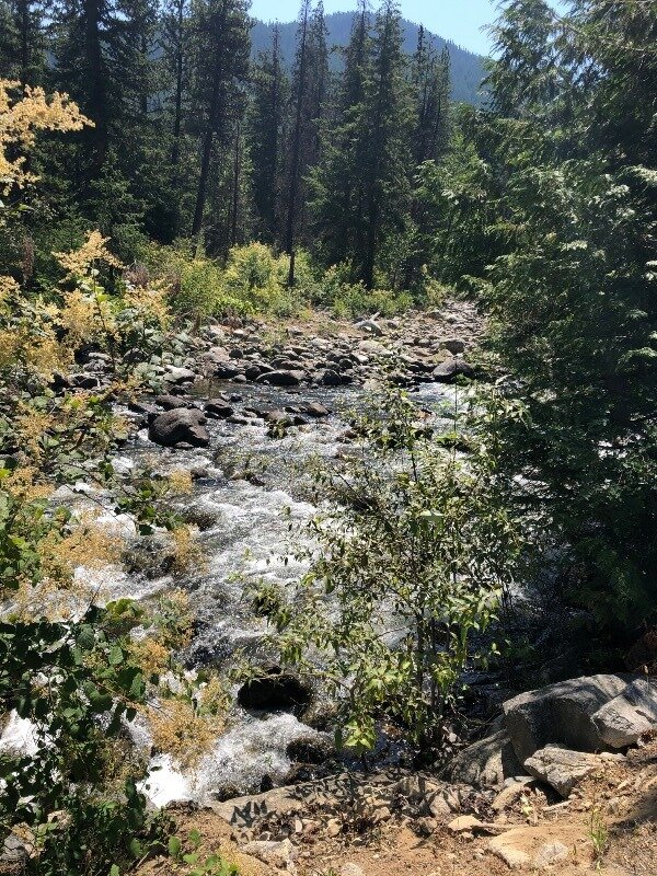
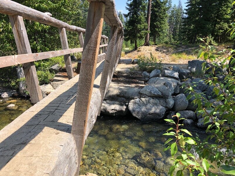
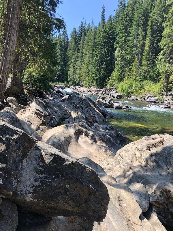
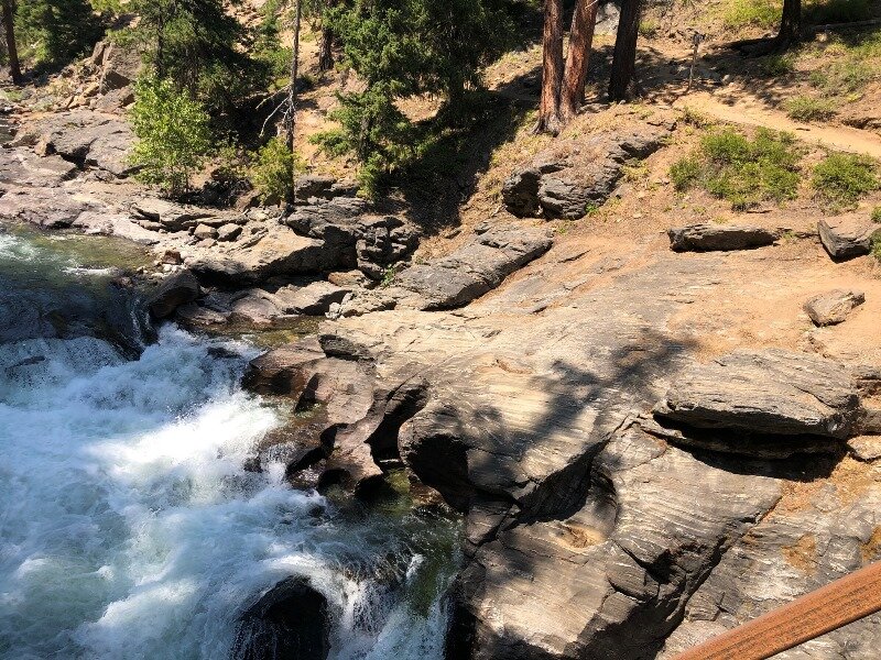
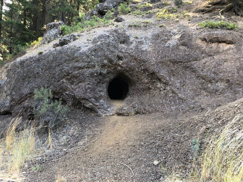
Ok, let’s get on down the hiking trail! This was a great easy trail with some nice geology to observe. In Icicle Creek there were many sections where the stream dumped large boulders, and many of these were Mt. Stuart Granite. There were also pretty pools, and sections where the stream was cutting a relatively boulder-free path. The banks were lined with the Chiwaukum Schist, which had a lovely marbled color and consisted of massive but knobby slabs. Enjoy the photos of the hike!

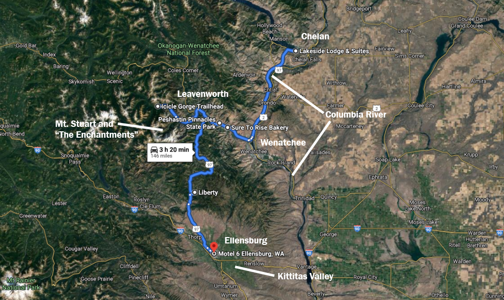
Well, all that was part one of the day. Part two was to drive back to US 97, and head south to Ellensburg. On the way we passed through the Ingalls Complex and the Liberty gold mining area. But first, we passed through the town of Leavenworth, and it was one of those Disney-esque tourist towns that has a bit of a kitschy Bavarian theme. I’ll leave you to judge the architectural merit of the buildings.

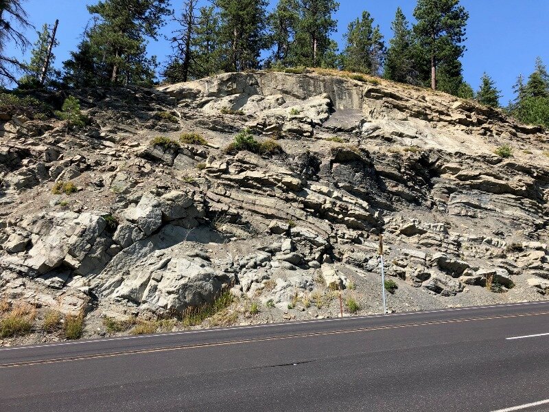
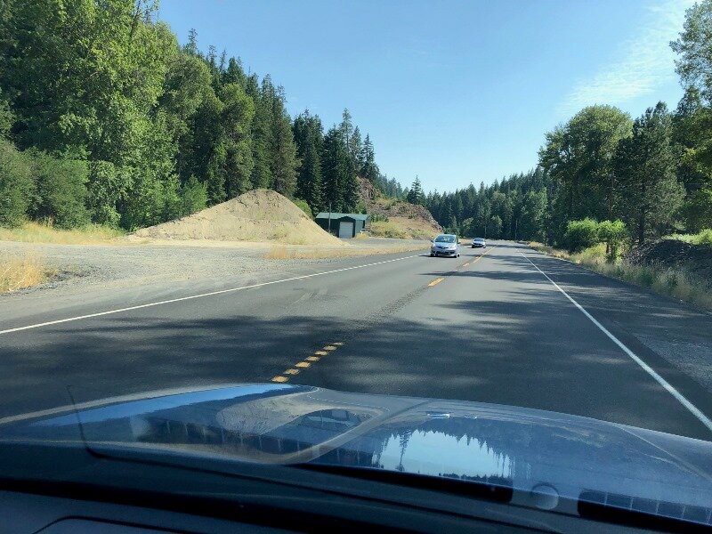
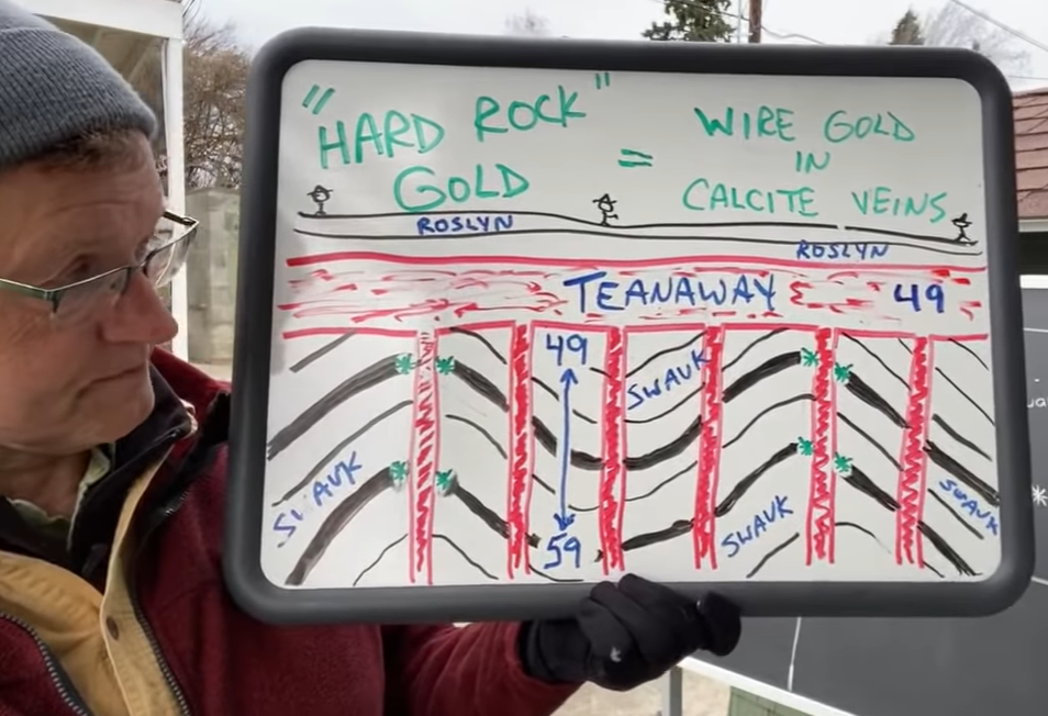
Heading south on US 97, we passed through the Ingalls Complex, which included cliffs of argillite and serpentinite, then over Bluett Pass a large area of Swauk sediments, which were earlier than the Chumstick at 54 to 48 Ma., and grayish in color. We stopped at the same outcrop as Miller & Cowan and snapped a photo, while big trucks and cars whizzed by at 70 mph. We then entered the Liberty mining district, And here I can refer you, once again to Nick From Home episodes covering this area. Livestream #8 - Liberty Gold w/ Rob Repin and Livestream #5 - Ellensburg Blue Agates cover the topics associated with Liberty — gold mining and blue agates. The parent rock is the Teanaway Basalt (49 Ma.) for the agates and we passed a little mine along the road that looked like it was the Teanaway. The gold has a more complicated story and I added a screenshot from the program that pretty much tells it to the gallery below.
Well, all that was left of the day was to get to Ellensburg and find a motel. We zipped down US 97 to I-90 and high-balled it into town. We did a little touring of Ellensburg, but I’ll add that to Day 7 blog. Bye for now!
REFERENCES
Myrl E.BeckJr., Russell F. Burmester, Ruth Schoonover, "Paleomagnetism and tectonics of the Cretaceous Mt. Stuart Batholith of Washington: translation or tilt?", Earth and Planetary Science Letters, Volume 56, December 1981, Pages 336-342.
Darrel S. Cowan, Mark T. Brandon, and John I. Garver, “Geologic Tests of Hypotheses for Large Coastwise Displacements--A Critique Illustrated by the Baja-British Columbia Controversy,” American Journal of Science, Volume 297, February 1997.
Bernard A. Housen and Myrl E. Beck, Jr., “Testing terrane transport: An inclusive approach to the Baja B.C. controversy,” Geology; December 1999; v. 27; no. 12; p. 1143–1146.
Housen, Bernard A.; Beck Jr., Myrl E.; and Burmester, Russ R., "Paleomagnetism of the Mt. Stuart Batholith Revisited Again: What Has Been Learned Since 1972?" (2003), Western Washington University Geology Faculty Publications. 17.
Jay J. Ague, Mark T. Brandon, "Regional tilt of the Mount Stuart batholith, Washington, determined using aluminum-in-hornblende barometry: Implications for northward translation of Baja British Columbia", GSA Bulletin; April 1996; v. 108; no. 4; p. 471– 488.
Kirsten B. Sauer, Stacia M. Gordon, Robert B. Miller, Jeffrey D. Vervoort, and Christopher M. Fisher, "Evolution of the Jura-Cretaceous North American Cordilleran margin: Insights from detrital-zircon U-Pb and Hf isotopes of sedimentary units of the North Cascades Range, Washington", GSA Geosphere, Volume 13, Number 6, 2017.
Nick on the Fly Livestream #11 - Mission Ridge with Mike Eddy
'Nick On The Fly' #13 - Baja BC interview with Myrl Beck
'Nick On The Fly' #16 - Baja BC interview w/ Darrel Cowan
Click here for Day 7.


