Day 3 of the 2021 Coaledo Formation Field Trip
/
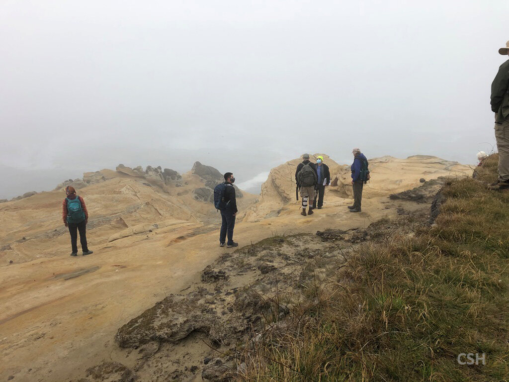
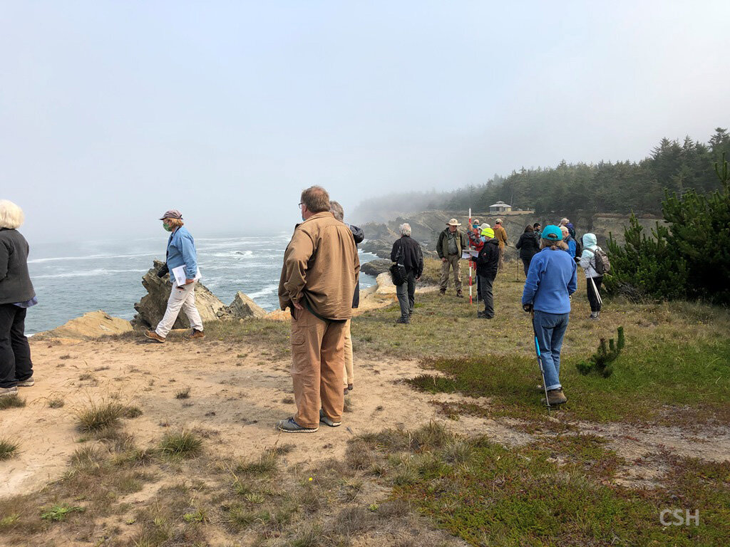
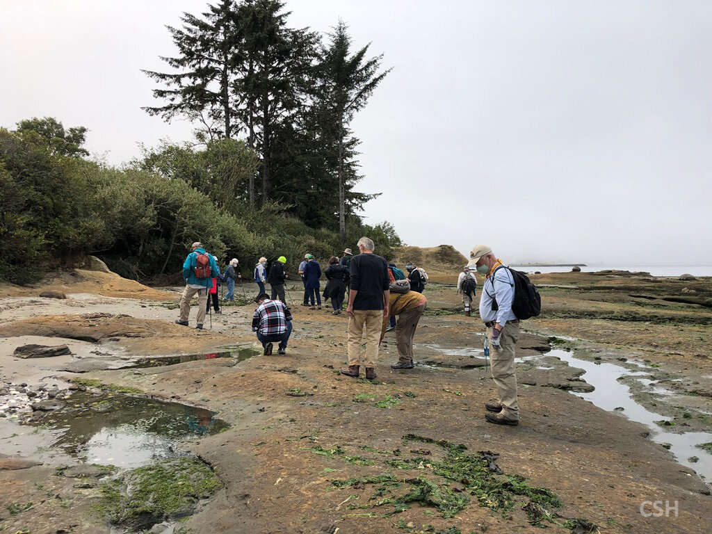
Group shot from morning of Day 3.
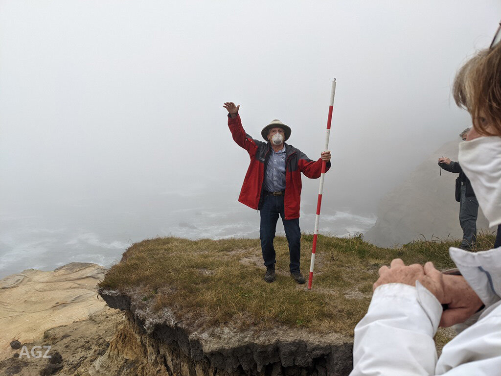
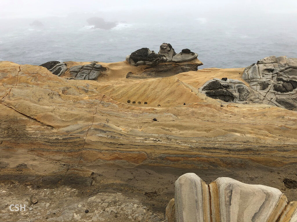
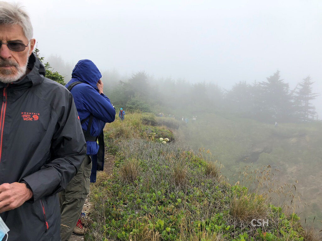
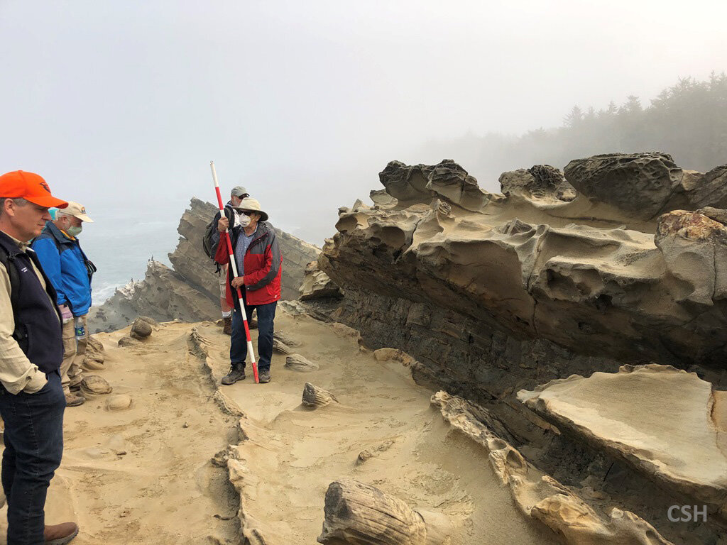
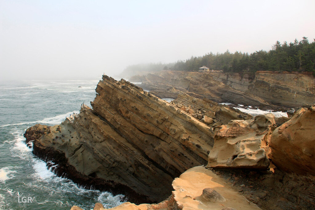
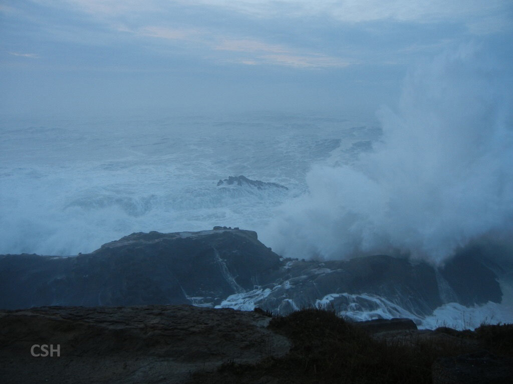
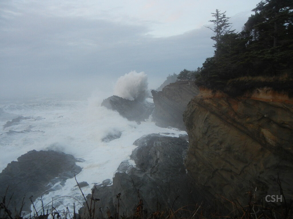
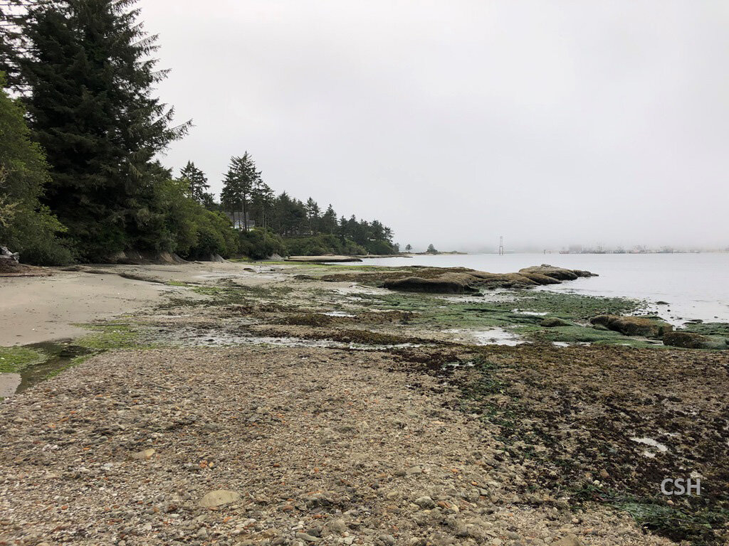
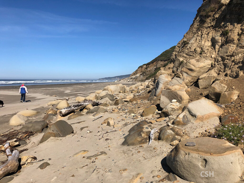
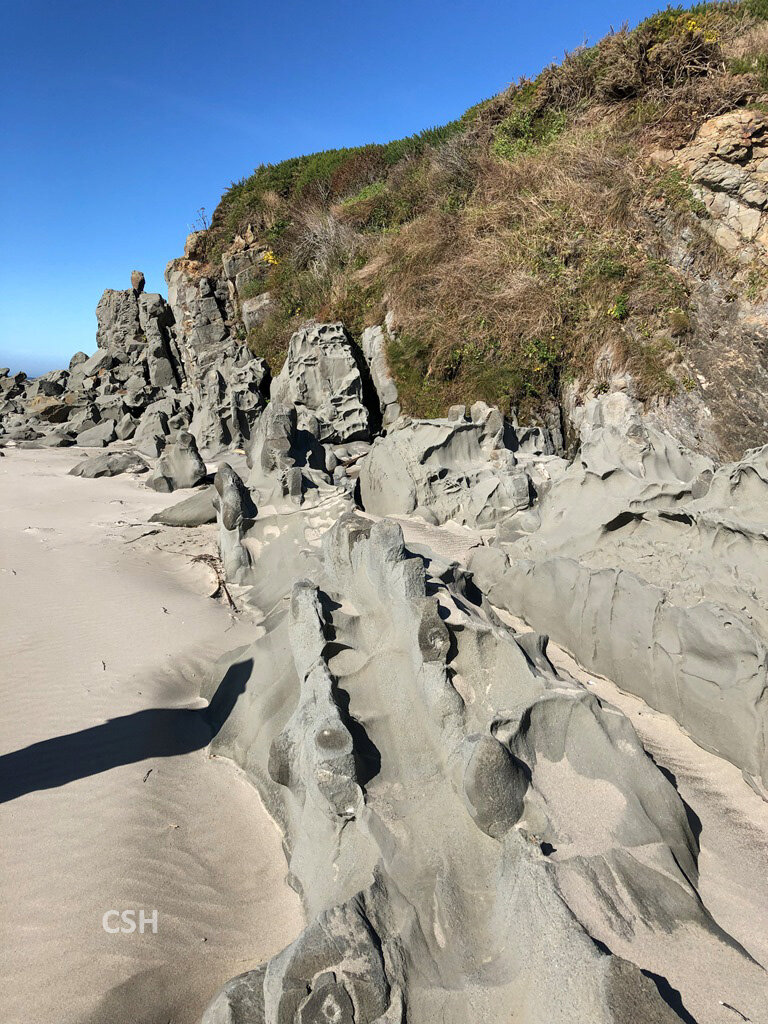
We convened the next morning, bright eyed and bushy tailed, at Sunset Bay to finish the Armentrout and Blackwell tour. We had rearranged the trip schedule somewhat the day before, so two stops situated between Simpson Reef and Simpson Cove had not been visited. These sites, Ocean View Lookout and Collapse Cave Point, featured Lower Coaledo stratigraphy. We arrived in the morning mist from a short walk to the edge of the cliff.
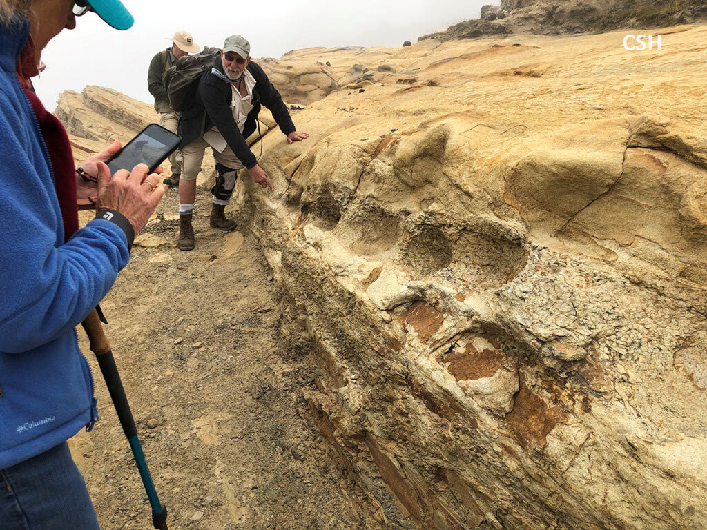
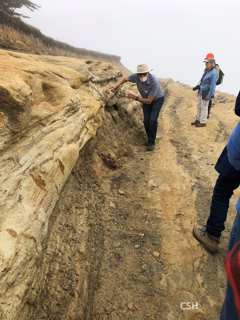
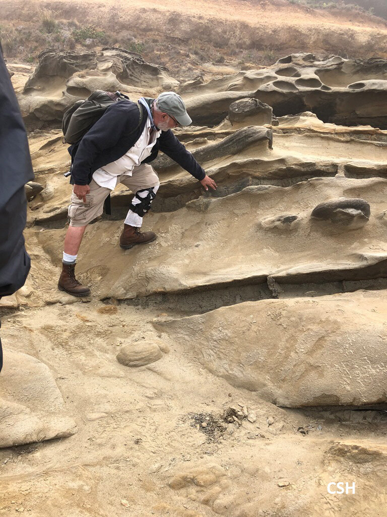
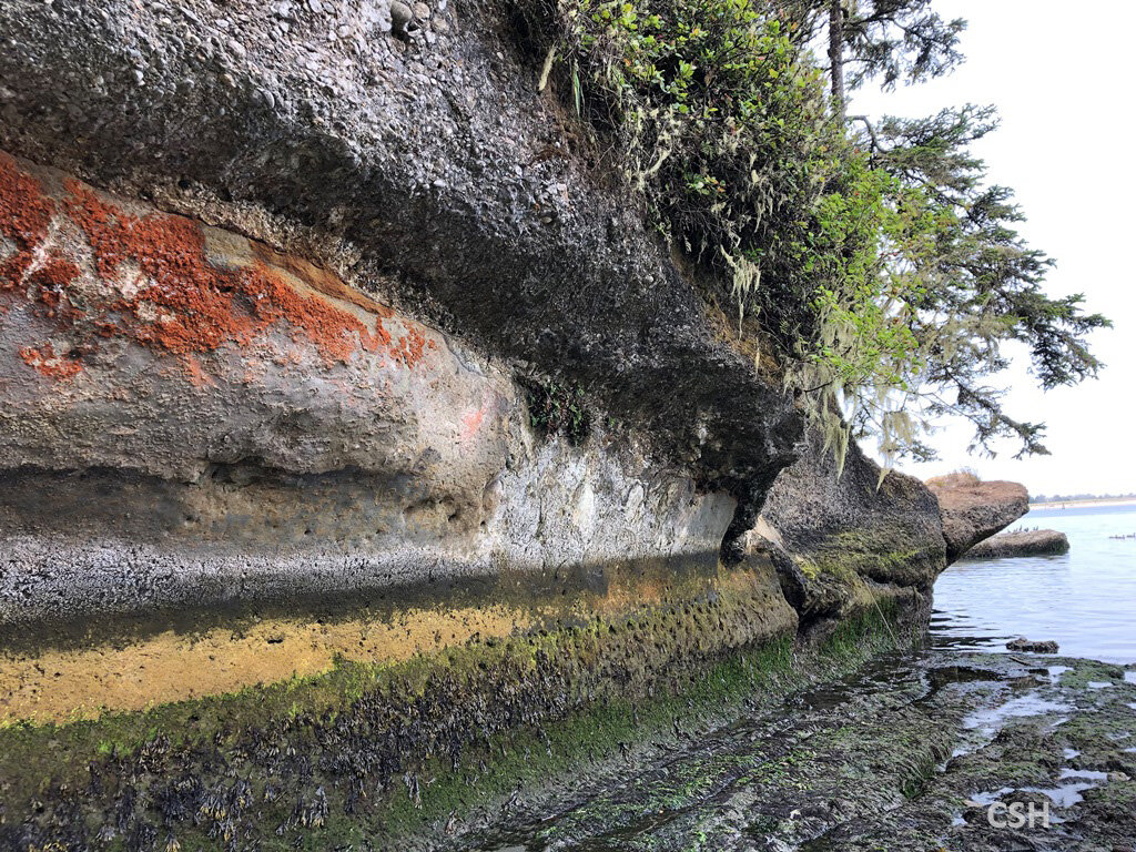
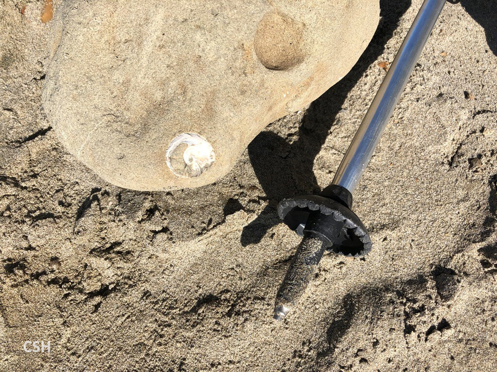
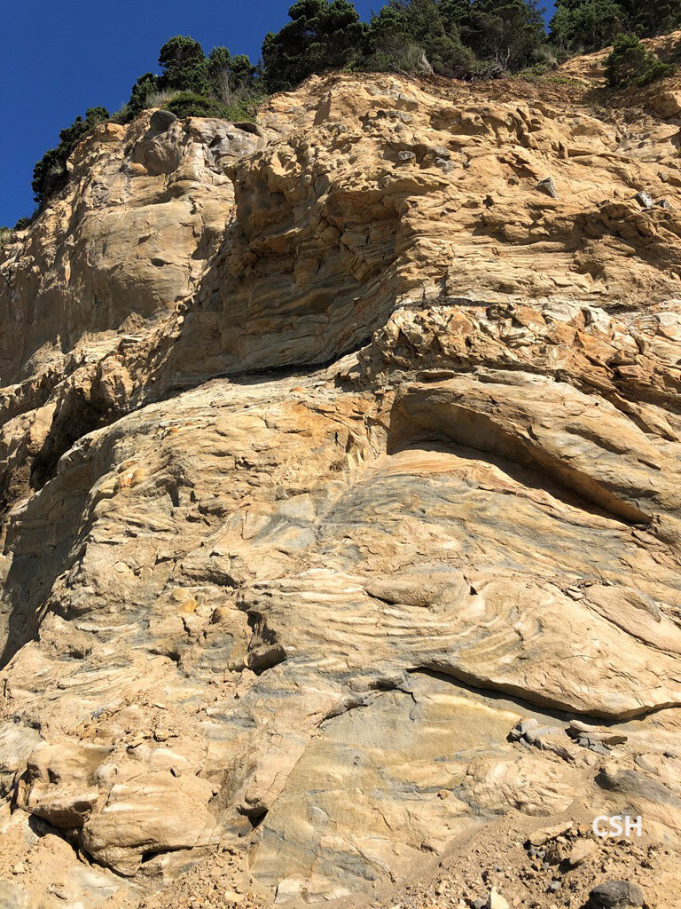
The stratigraphy here is largely sandstone which is resistant to erosion despite the waves that pound the shoreline. We descended to the sandstone shelf just below the 80,000 year old Whiskey Run terrace that caps the Coaledo stratigraphy. Dave Blackwell pointed out a disconformity contact from channel scour. Just above the contact he showed us the remnants of a log that had been nearly consumed by ship worms (Teredo worms). Nearby this was a jutting sandstone layer which contained ripple marks showing the direction of the paleocurrent which has been bored in several places by the paleomagnetics team, which includes David and his son Noel. Scott Bogue from Occidental College has also done some of this work. In this area the organics-rich mud layers have been scoured out to deeper water where they might be forming petroleum. John and Dave point out some mud rip up clasts embedded in the sand which confirm this.
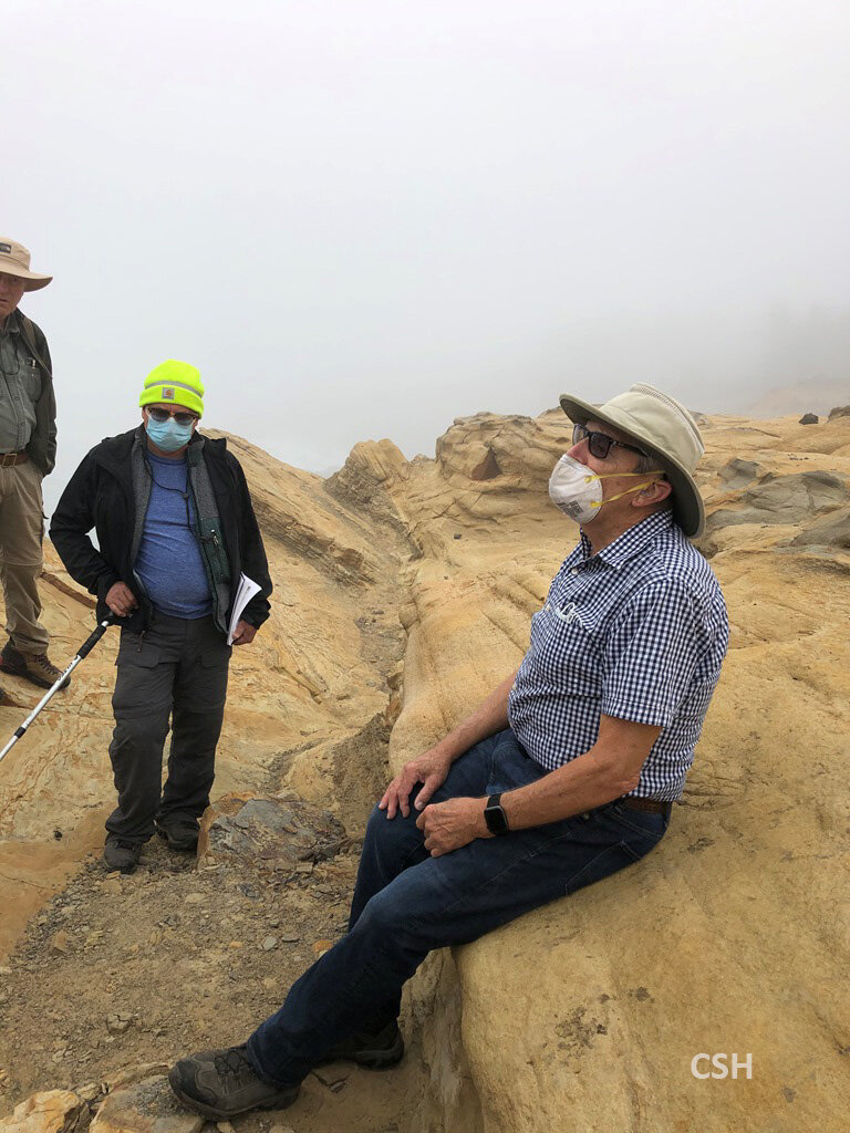
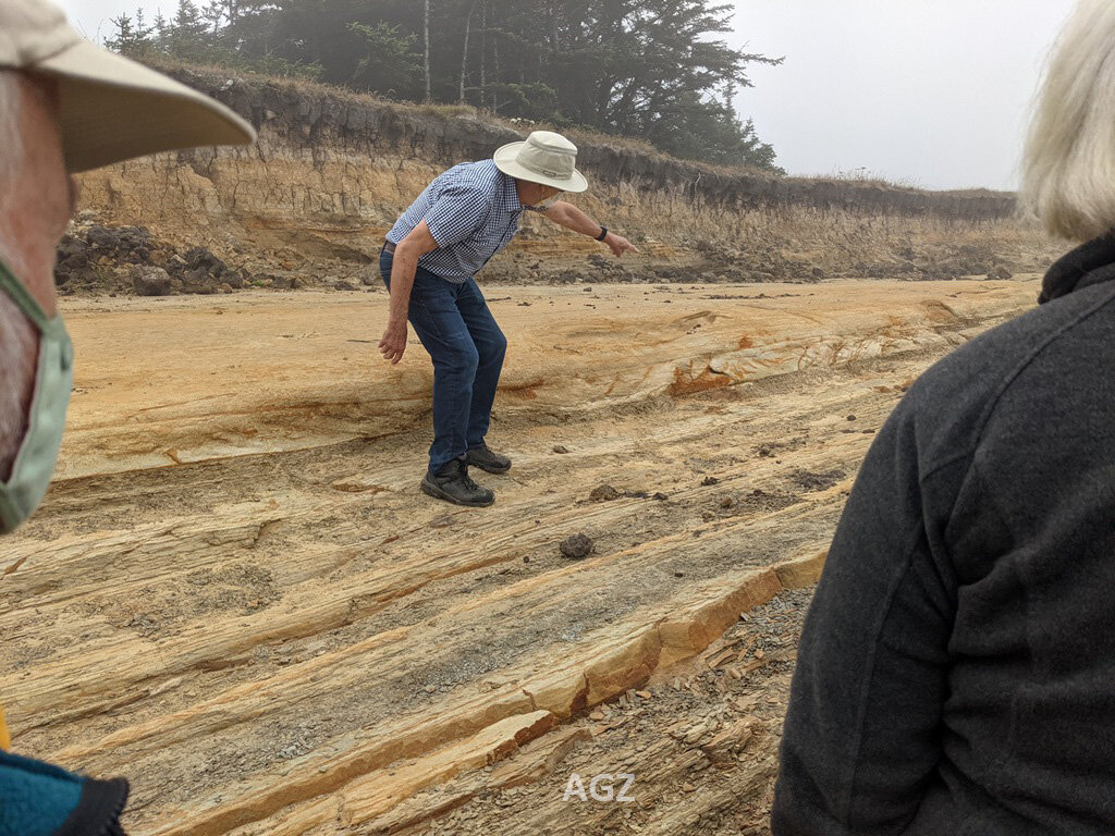
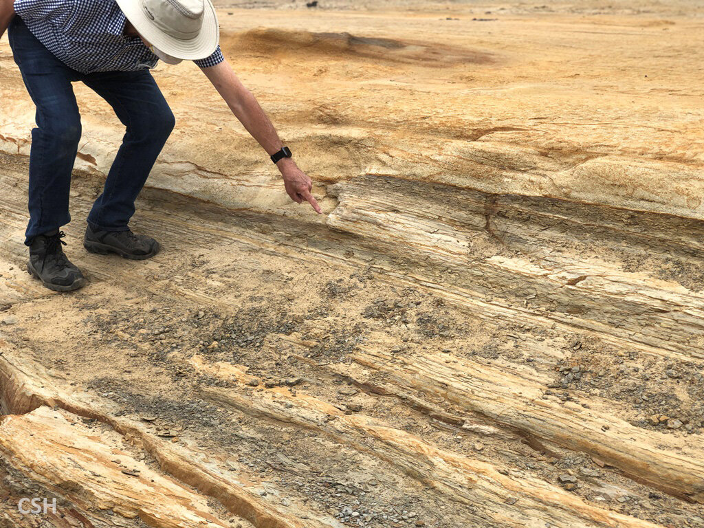
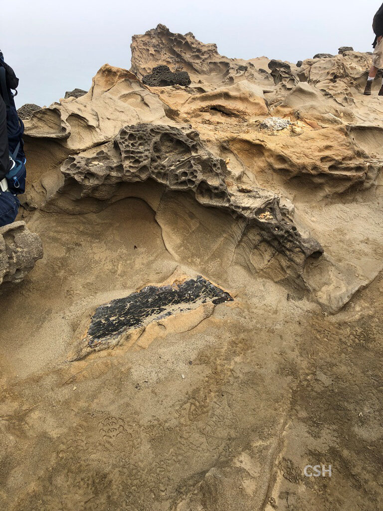
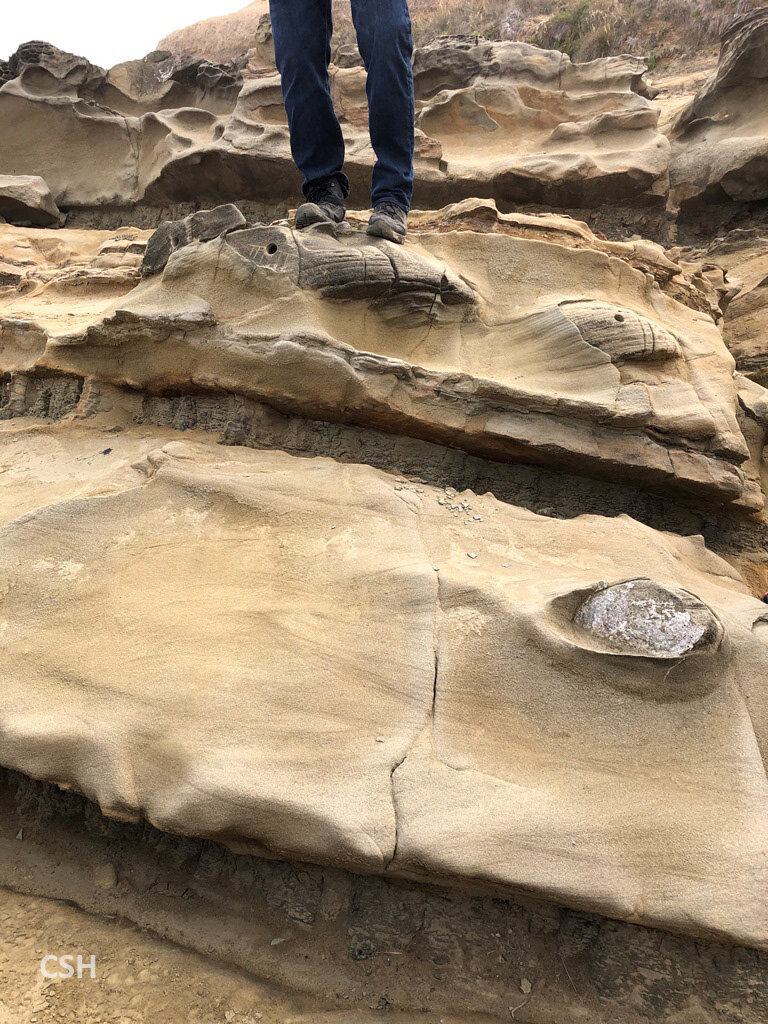
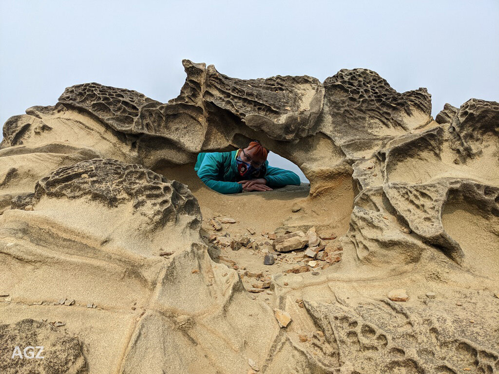
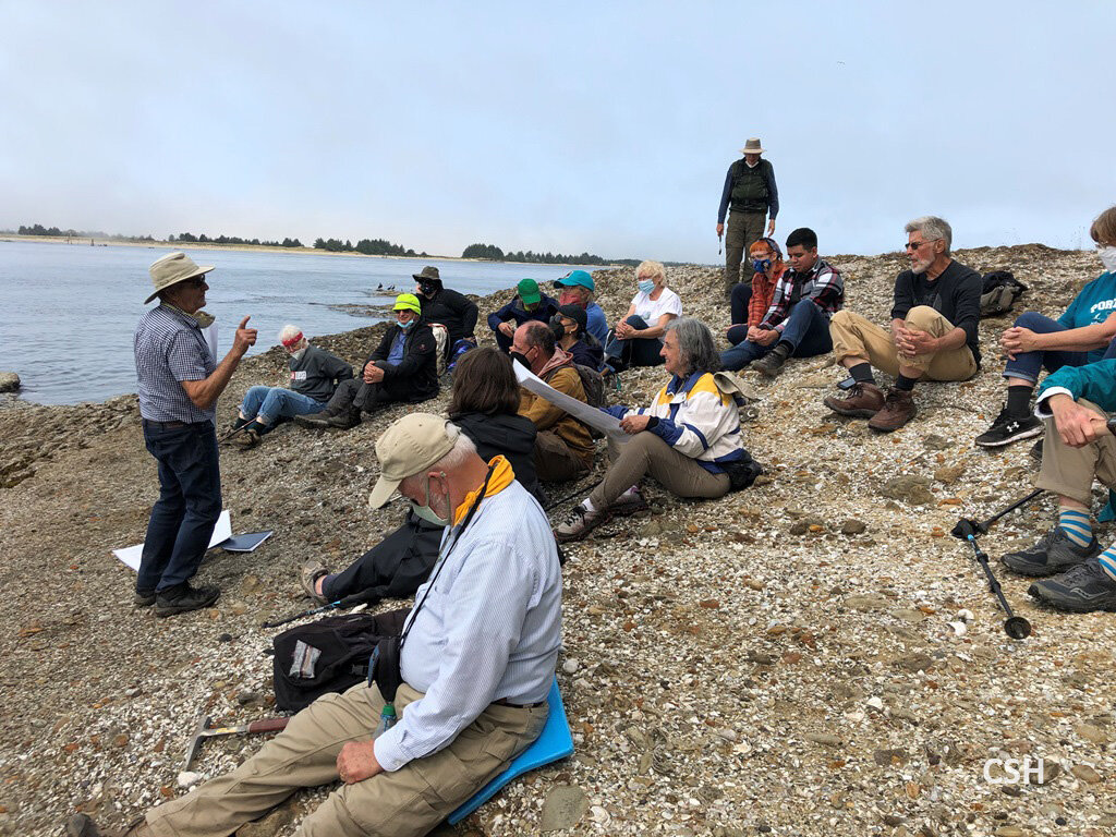
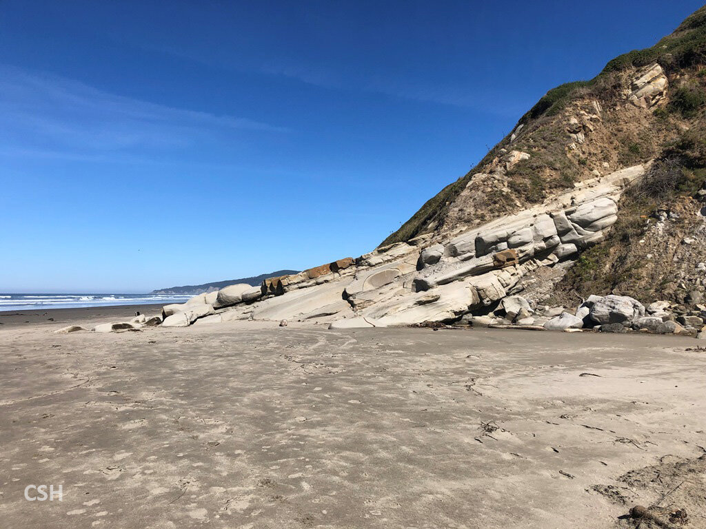
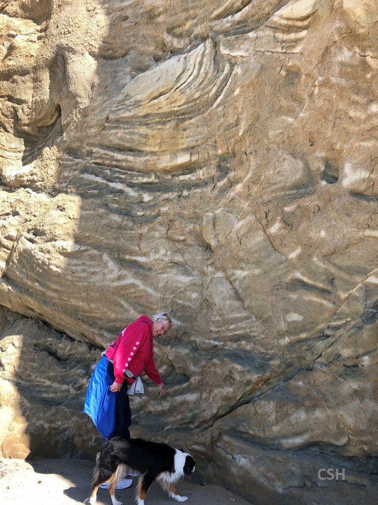
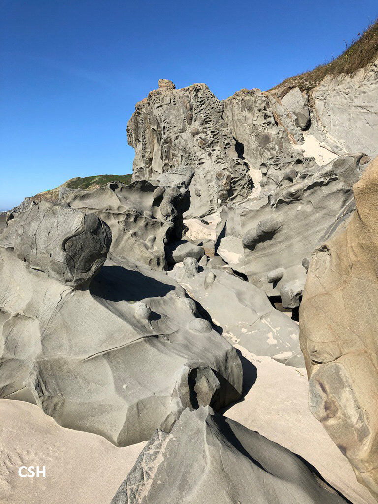
The group then made its way a bit further north along the cliff top to the Collapse Cave Point. Armentrout told the group that all the parasequences of the Coaledo formation had been carefully correlated and mapped on the Cape Arago shoreline, even across the cove faults. This stop featured parasequences #5 and #6 in the Lower Coaledo. Armentrout and Blackwell pointed out sandstone dikes through thin mudstone layers between the layers of sandstone. Sandstone is both porous and permeable, but the mudstone layers are not. Therefore, when the layers settle after deposition, the sand layers compact to more stable configurations and the excess water between the grains become pressurized. The dikes push through the mud to relieve that pressure. From an oil geologist standpoint, if one is looking to find oil in that sandstone, the presence of the dikes would be a bad sign that the oil has probably escaped.
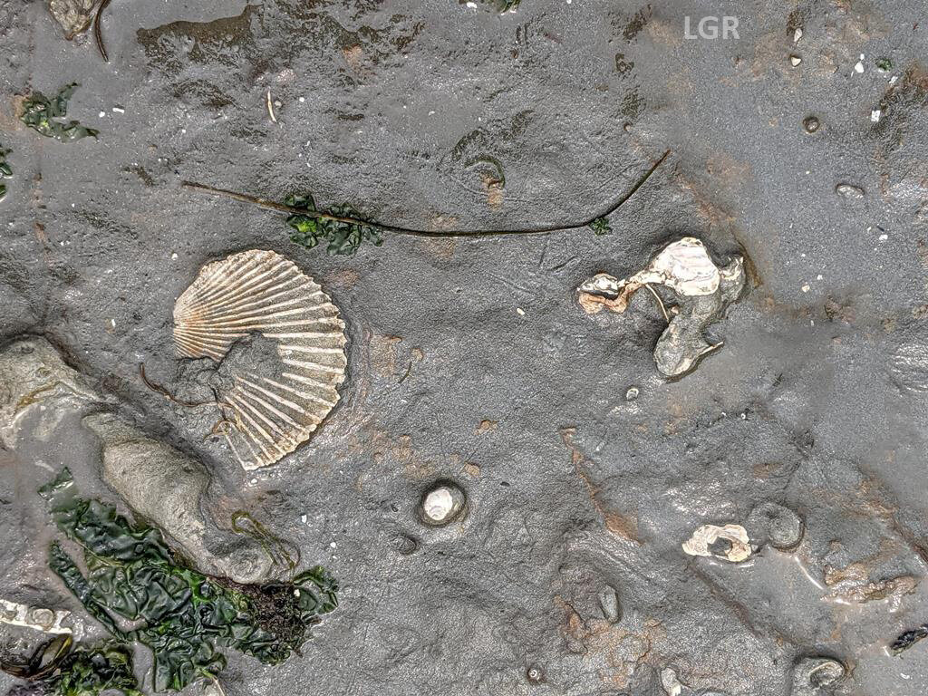
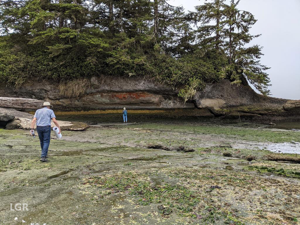
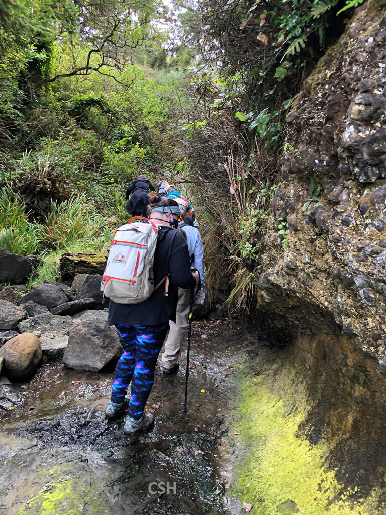
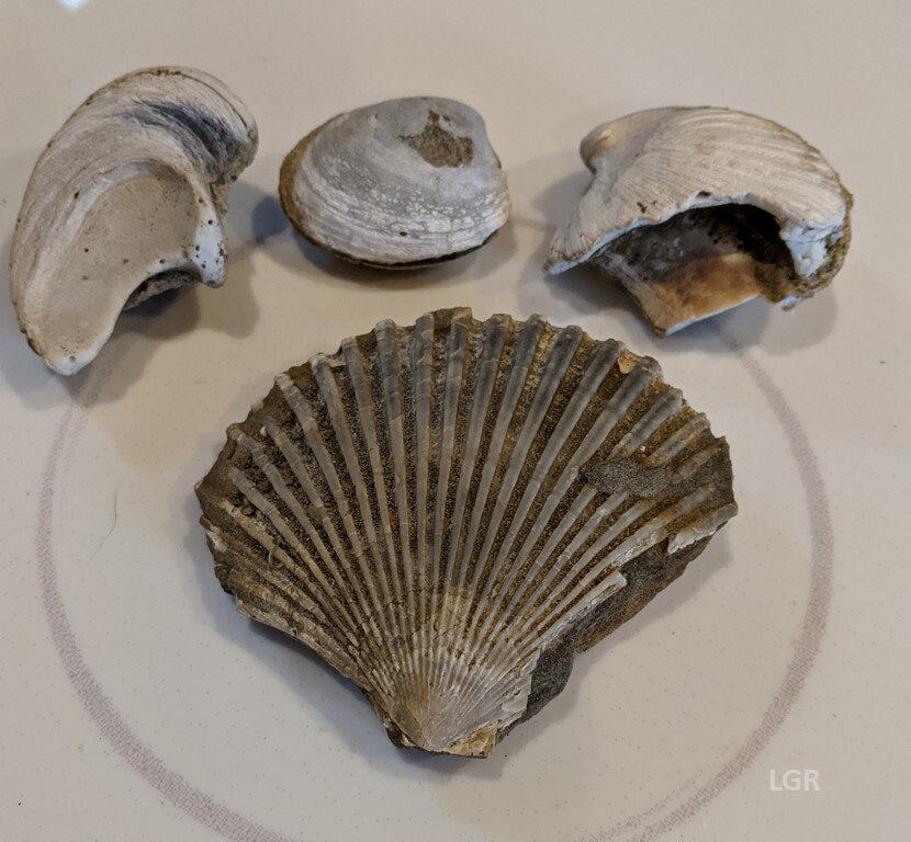
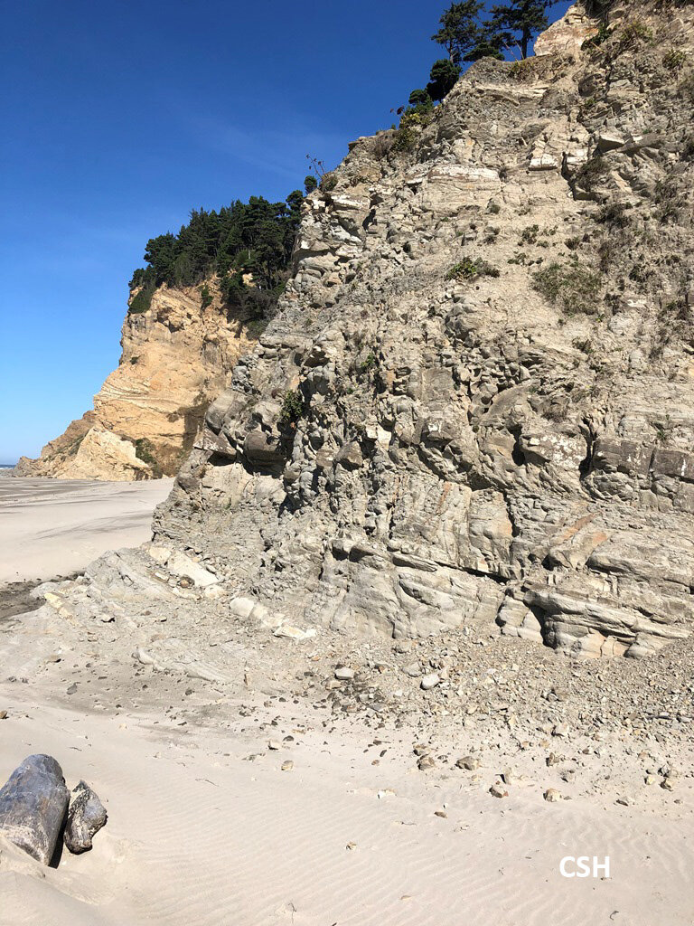
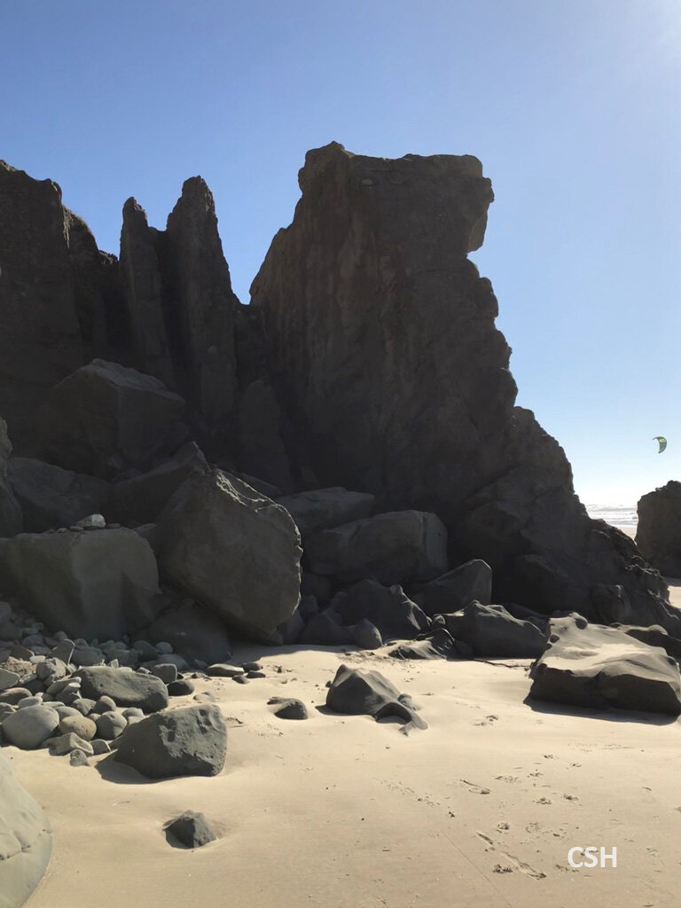
After visiting these sites, the group headed around Coos Head, through Charleston, and up the east bank of the Coos Bay shipping channel to the area near Fossil Point. We parked near the little pumphouse just to the south of the Dairy Queen on the Cape Arago Highway. John and many of the locals call this “Stinky Cove” because of the rotting organic smells issuing from it, but in the literature, he refers to it as Beacon Lane Cove. Here we were located on the east side of the South Slough syncline, a trough in the folding pattern of the stratigraphy. It was about low tide or shortly after low tide, so the group hurried across the seaweed-strewn point and south over the Empire Formation terrace to get a half mile or so down the shore to the main show. Along the way Armentrout pointed out pectin shells, trace fossils, and other interesting features of this fossiliferous layer.
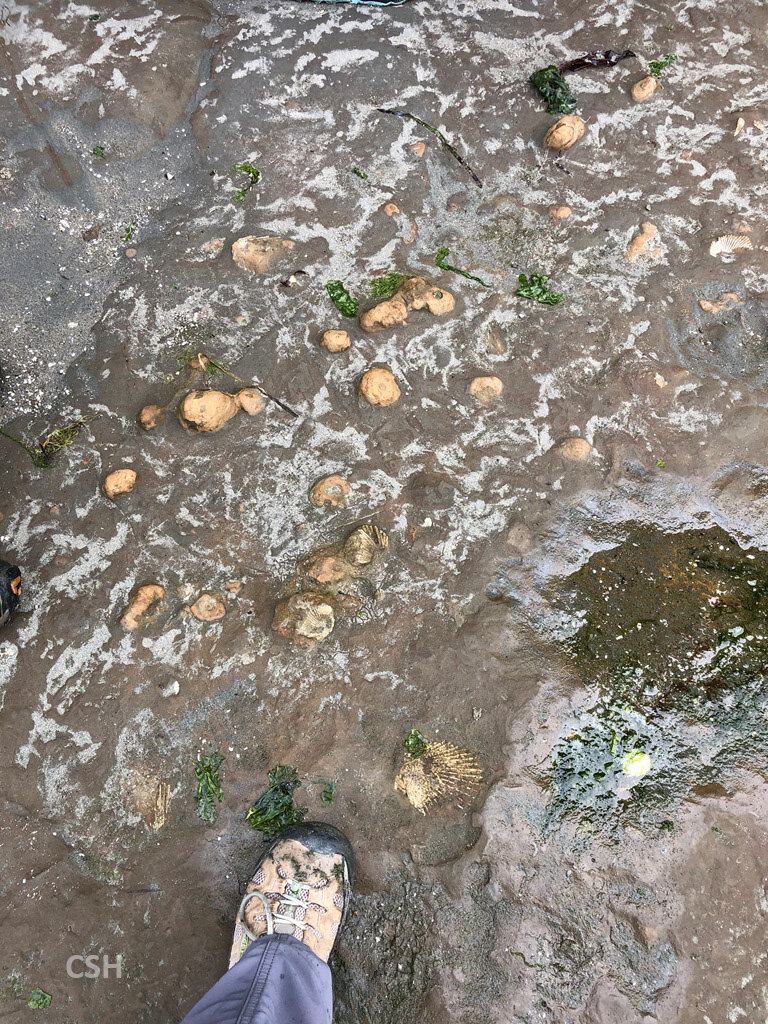
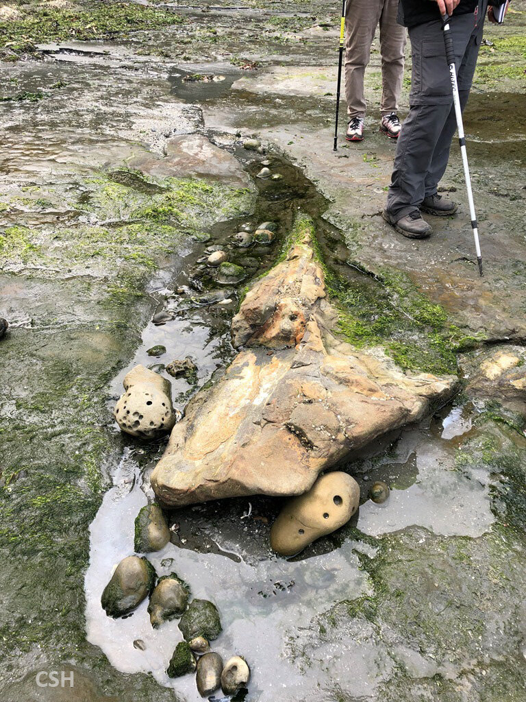
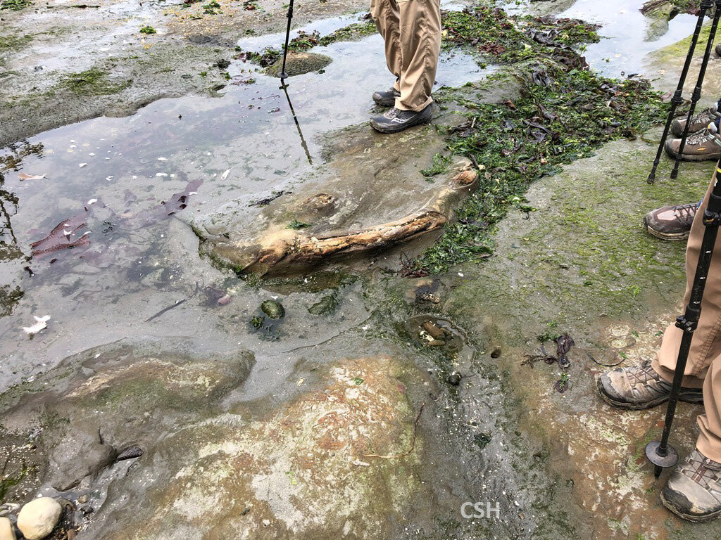
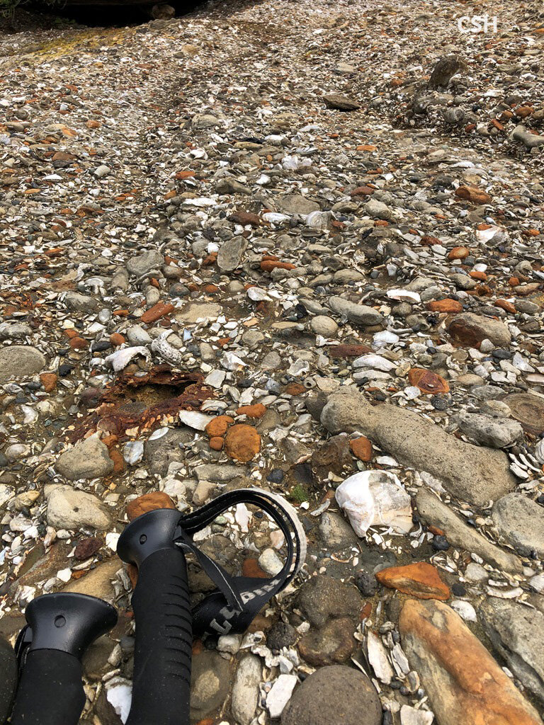
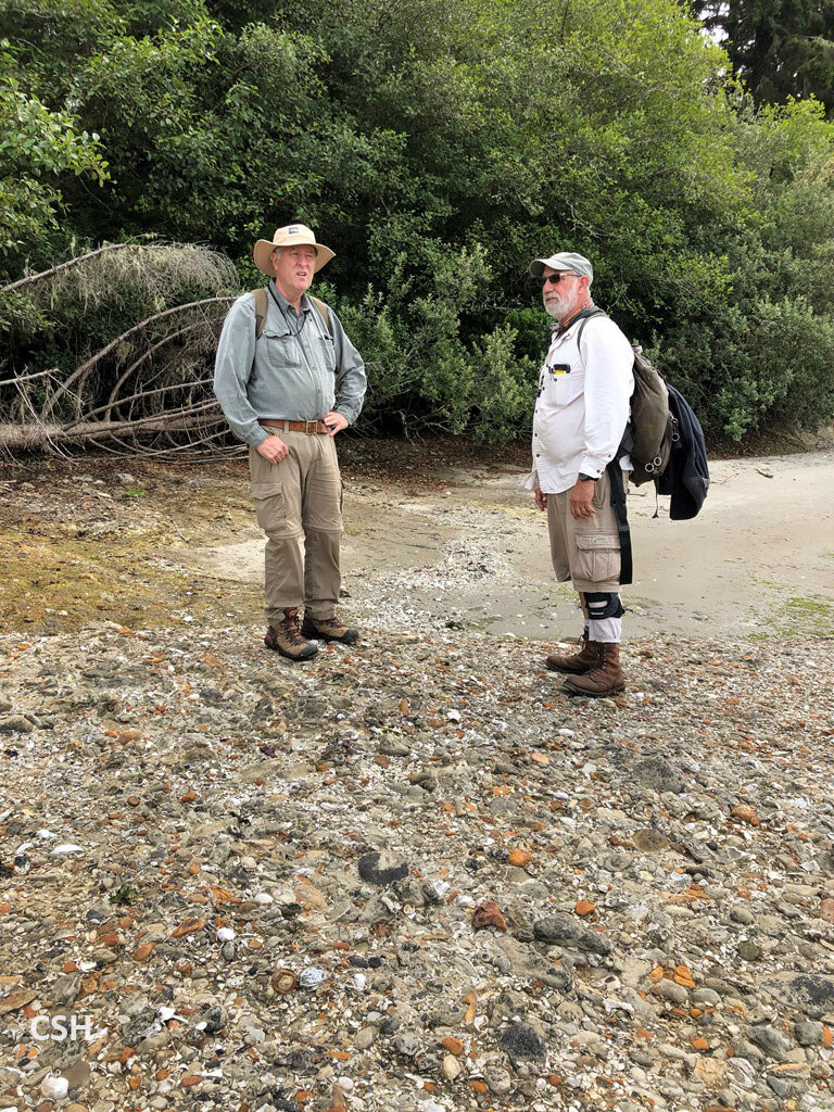
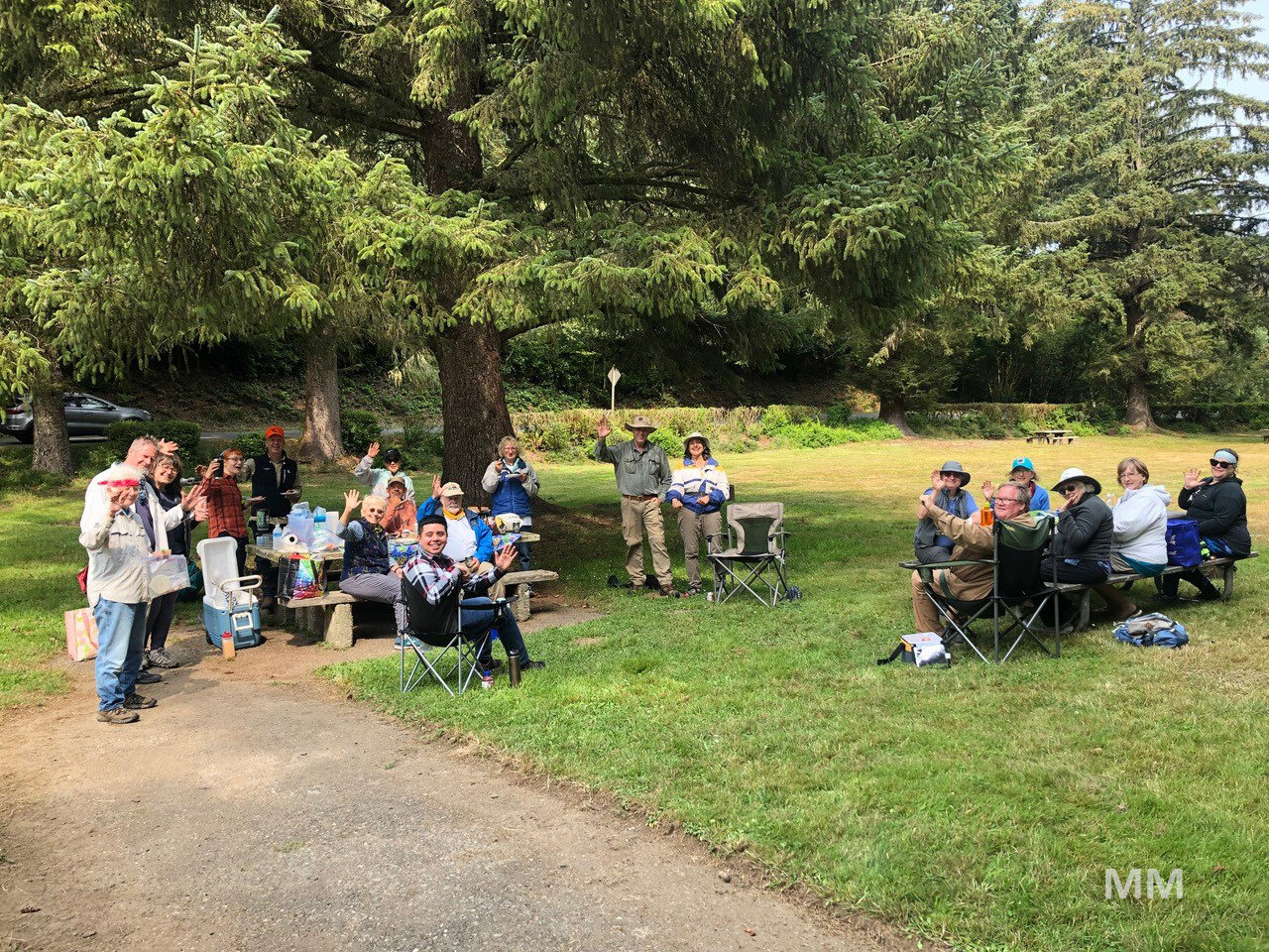
As the group approached a barrier point, John pointed out two fossils sticking out of the Empire terrace that appear to be a whale skull and rib. There have been several whale fossils recovered from the Empire formation here. Then the group assembled at the barrier, where we saw an unconformity between the bulk of the Empire Formation overlain by a spectacularly fossiliferous Coos Conglomerate which forms the “point” of Fossil Point. A short climb over the high point put us onto Fossil Point proper, an incredible mass of 8 million-year-old cemented shells. Armentrout pointed out a number of fossils here, including the slipper shell Crepidula, which can be found in stacked groups in this deposit, which must have formed in a niche of calm shallow water. And with that Armentrout’s presentation was completed and he headed off down the shoreline. The rest of the group convened in the picnic grounds at Sunset Bay and had a very relaxing picnic.
Return to the beginning of the article.
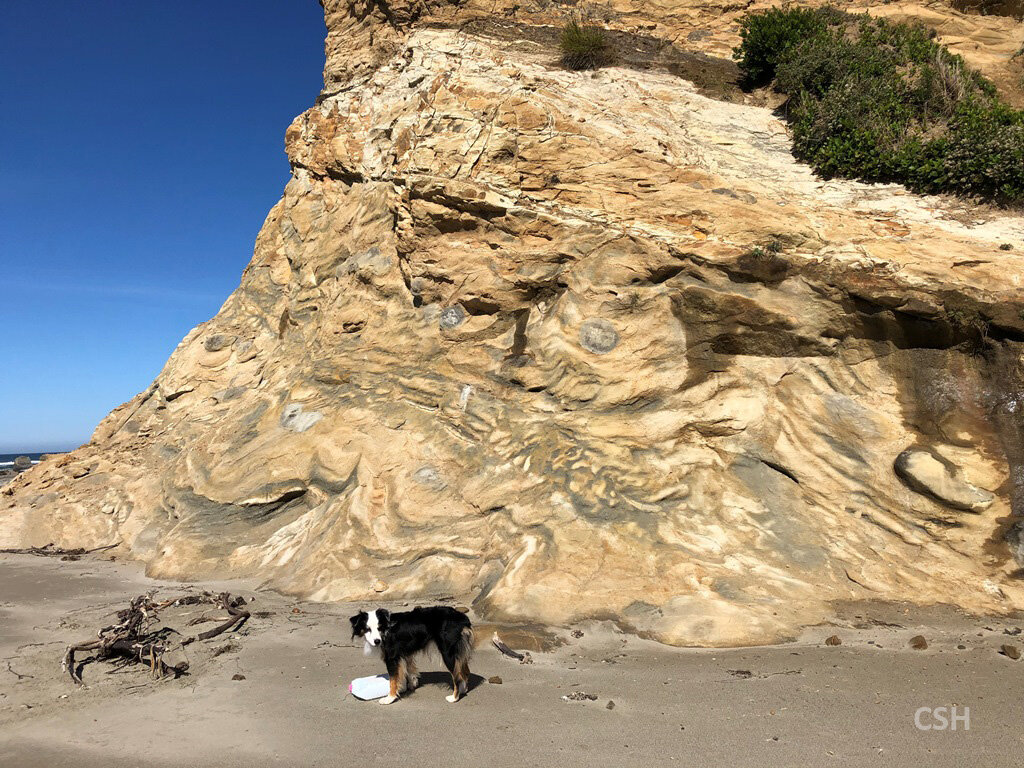
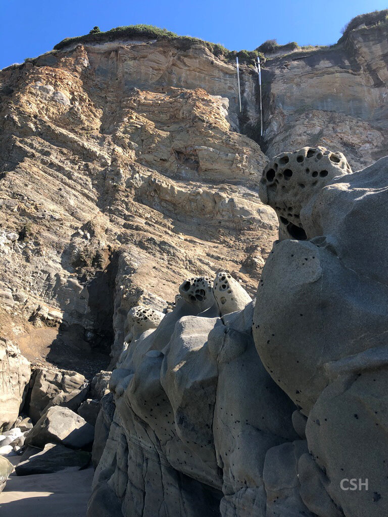
Pictures from Day 3: