Recap of the Coaledo Formation Field Trip
/The Coaledo Formation and its older counterpart, the Tyee Formation, are sediments that were deposited in the sea above the newly docked Siletzia Terrane in the Eocene epoch, starting about 50 million years ago. These formations remained relatively undeformed, as the subduction zone had jumped to the western margin of Siletzia before they were deposited. Think of Siletzia as being similar to the Hawaiian Islands coming in for a landing on the Oregon shoreline. As the Tyee and then the Coaledo were deposited, the shoreline gradually prograded (grew seaward) to the northwest as large amounts of sediment from the Klamath Mountains and the ancestral Cascades were eroded and deposited along the seashore and down to deeper water.
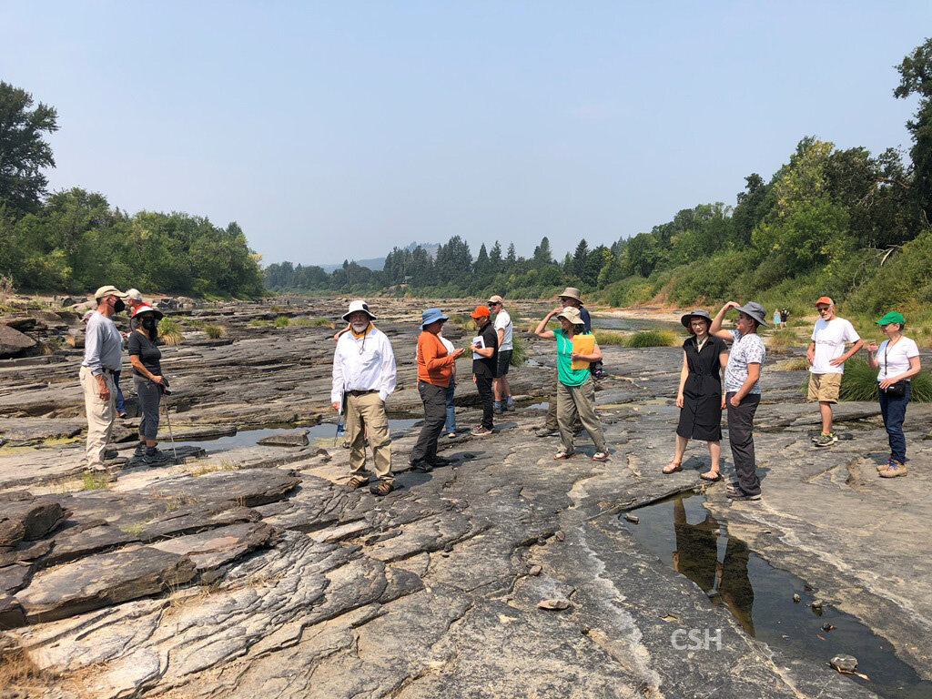
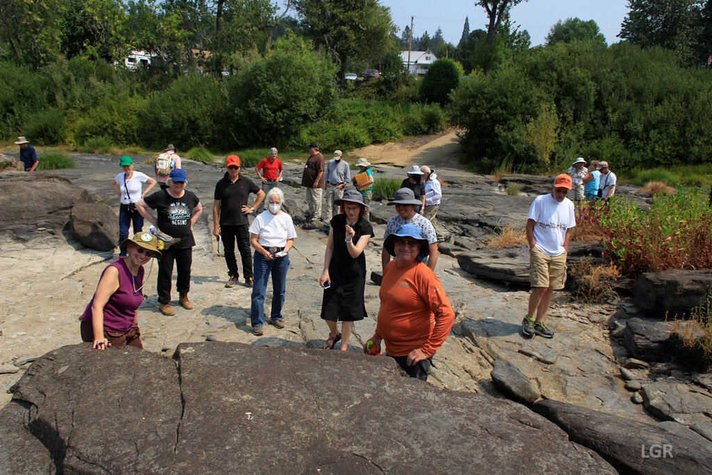
These formations gave participants on the field trip an opportunity to not only look at the details of flow and deposition in a sedimentary basin, but the structural environment in which it was formed, what changes occur in the basin over time, and how the details embedded in the basin give clues to what is happening in other areas of the basin (like where oil is likely to be found in the basin).

Map of all the stops on the trip.
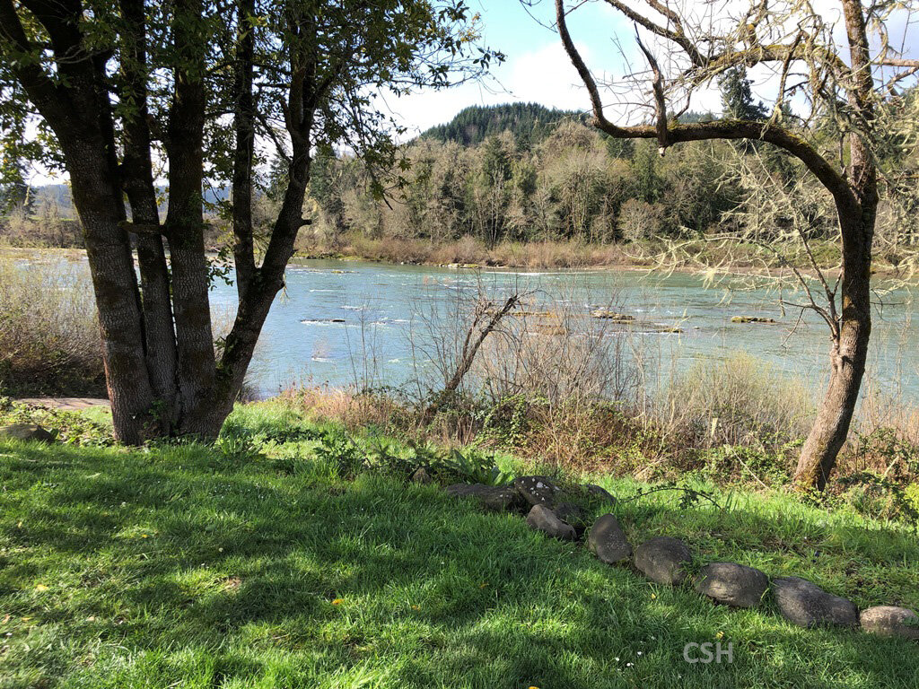
On the way over to the Charleston area from the Willamette Valley, the majority of participants needed to cross the Oregon Coast Range, and what better place to cross is there but Highway 38, going from the Cottage Grove area south downslope to Drain, then east following Elk Creek and the Umpqua River to Reedsport, where one can pick up Highway 101 south to the Coos Bay area? Not only is the route convenient, but it cuts through the heart of the Tyee Formation. And so this was the focus of the first day, and a great warm-up for the rest of the field trip.
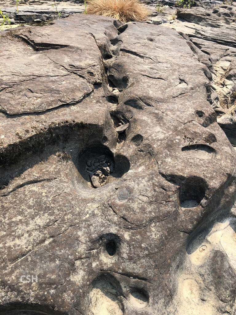
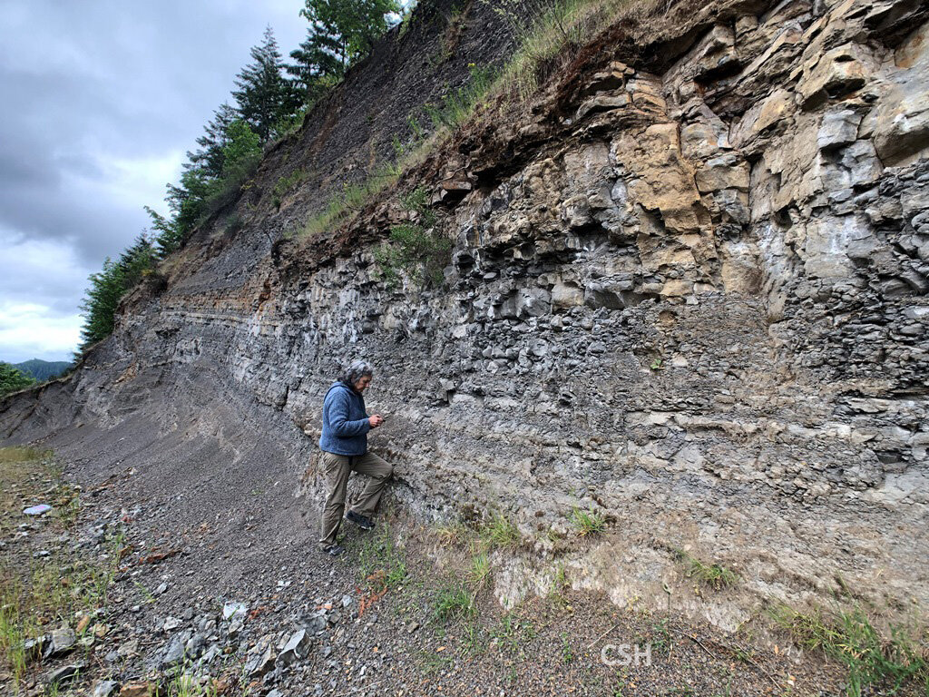
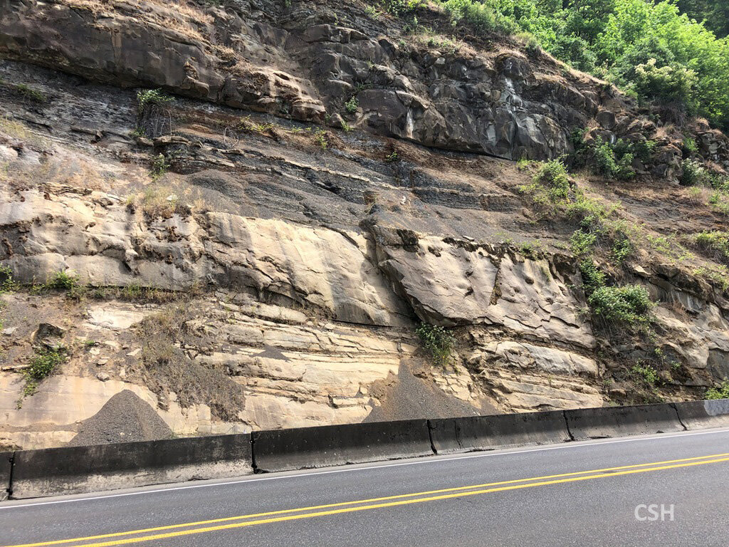
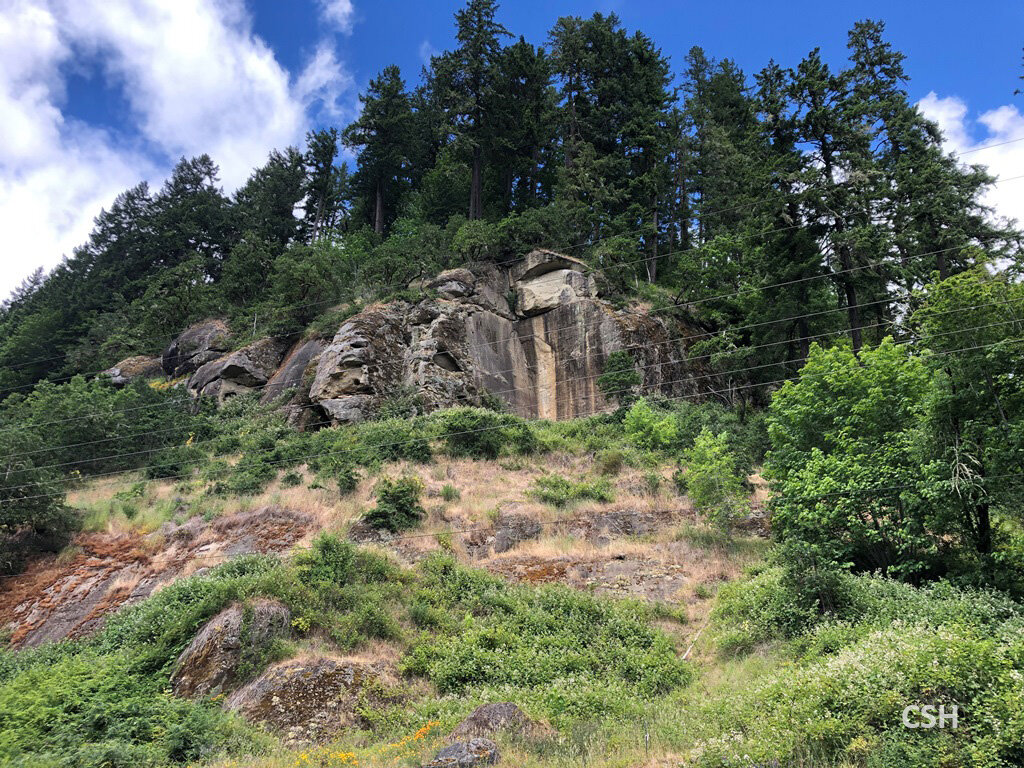
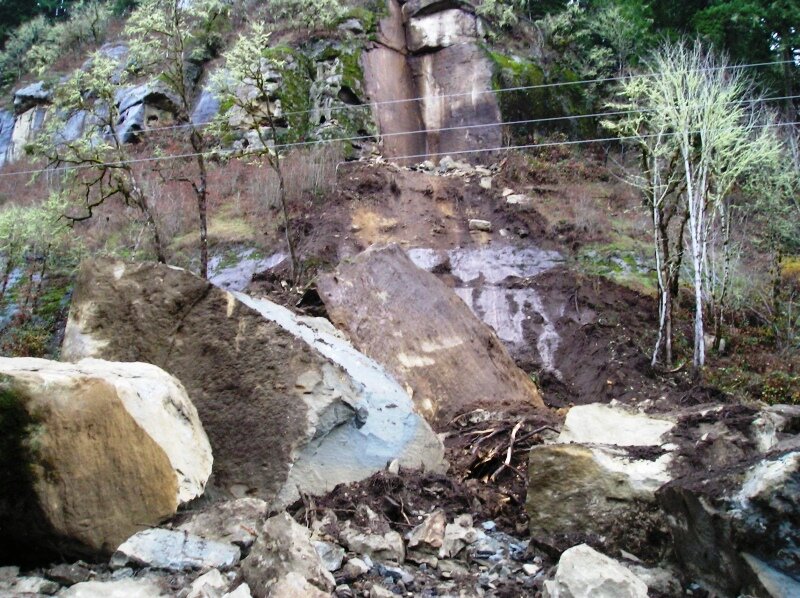
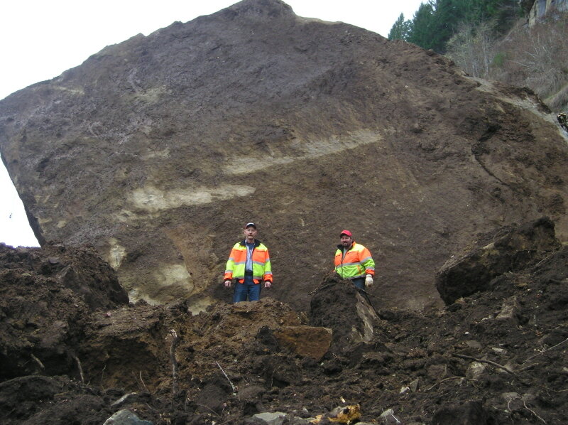
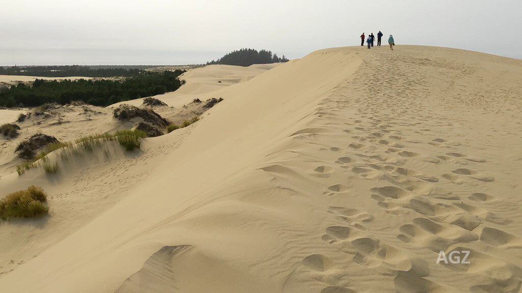
On our journey between Drain and Reedsport, we looked at the Tyee formation, deposited roughly between 49 and 45 million years ago. The stops we made showed the contrast between the thin, mostly mudstone layers deposited on the basin slope and the massive sandstone flows that collected in the deeper parts of the basin from channels carved through the slopes. The massive sandstone cliffs of the lower Umpqua river canyon are quite thick and impressive, and the solid chunks of sandstone that occasionally fall along this stretch of highway are truly frightful. At one point we passed a quarry where the underlying Siletzia peeks through the Tyee due to a compression fold in the crust. We also squeezed in a stop featuring the Oregon Dunes at John Dellenback Dunes Trail and discussed the Pleistocene and Holocene history of this area.
For the rest of the story, follow these links:
The photos you will see in these trip description pages were taken by multiple participants and are watermarked by this participant key:
Carol Hasenberg…CSH Dennis Chamberlin…DC
Laurie Green…LGR Alberto Gonzales…AGZ
Marty Muncie…MM
Day 1 photos (including some reconnaissance photos):