Tyee Country and Marys Peak Trip
/
Field trip recap from July 13-14, 2019
by Carol Hasenberg
GSOC participants had a great little trip to the Corvallis area in mid-July to observe the geological features of Marys Peak and the Tyee formation along US 20 between Philomath and Newport, Oregon.
Sheila Alfsen led the group on Saturday, July 13, on a tour of Marys Peak. Her tour was partially based on the very excellent book by Robert J. Lillie, Oregon’s Island in the Sky: Geology Road Guide to Marys Peak. This book is available online at a very reasonable cost.
GSOCers swarm over to the gabbro dike at the base of Marys Peak. The surrounding rock is the Siletz River Volcanics.
The group’s first stop was at the base of Marys Peak on Hwy 34, just past the intersection to the Marys Peak Road. The highway (34) travels a number of miles southwest along the Corvallis Fault, which marks the southeastern boundary of Marys Peak. At this stop the group saw a very obvious gabbro dike cutting through the Siletz River Volcanic parent rock.
The group then headed up Marys Peak Road and stopped to see steeply tilting layers of the Tyee formation, sediments that collected in an ocean basin in the Eocene offshore from what is now the Klamath Mountains. This formation lies above the Siletz River Volcanics.

Waterfall cutting through gabbro sill.
Towards the top of the mountain the group stopped at a charming little falls that cut its way down through the gabbro sill at the top of the mountain. It is the durability of this hard layer of rock that has kept Mary’s Peak 500 feet higher in elevation than that of any other peak in the Coast Range.
The group finally made it to the top of the mountain where there were some pretty amazing views in all directions. An incredible forest of noble firs ringed the top, and fields of wildflowers blossomed. Interspersed in all this greenery were the gabbro rocks of the sill.
On the way back down the mountain was the geologic pièce de résistance – one of the best outcrops of pillow basalts in the world. One little drawback of this site is that it is part of a former rock quarry. Although the quarrying was responsible for exposing such amazing rocks, the site has now become a local target practice range. Broken glass and ammunition litter the ground. In fact, Sheila went in to request a cease fire from the users of the site so we could visit the outcrop.
The next day, Clay Kelleher toured the group through several stops along a new section of US 20 built between Eddyville and a couple miles west of Chitwood, which straightened out the road to lessen travel times between Newport and Corvallis. This section of road was built on the Tyee Formation, which is tilted from compressional folding and its many layers absorb water like a sponge. Naturally, the planned route of the new road lay through a series of landslides, which had to be dewatered to prevent further movement. The group got to go down the embankments of the road to check out some of the elaborate dewatering hardware, and even saw a giant wildlife tunnel.
More photos

Gabbro has the same composition as basalt but with a intrusive phaneritic texture.

The graceful blooms of the Columbia lily dotted the fields at the top of the mountain.

Group leader Sheila Alfsen discusses the features viewed from the top of Marys Peak.
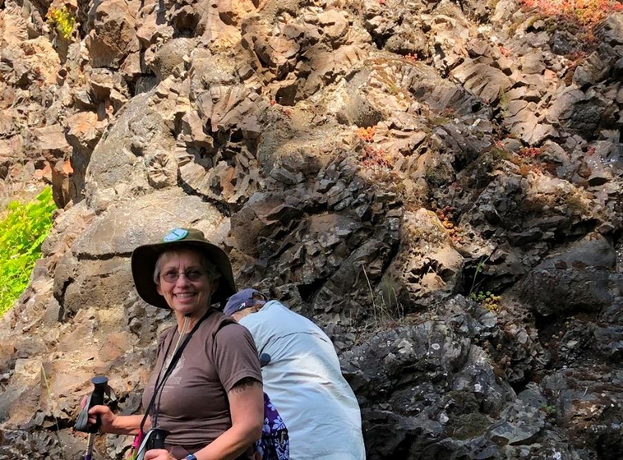
Carol and the pillow basalts. I’m not sure who took the shot or who is behind me.

Shotgun shells (in color) littering quarry floor (black-and-white).
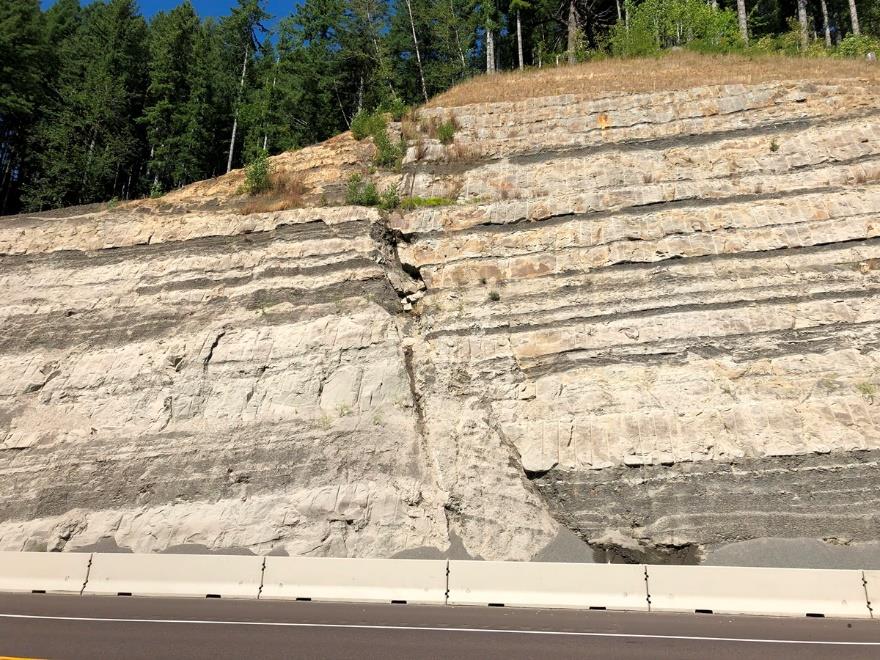
A fault in the Tyee Formation at one of the newer roadcuts on US 20.

A row of dewatering pipes at the base on an embankment on US 20.


Field Trip Director
Annual Newsletter Editor
fieldtrips@gsoc.org