The Big Kapow! Crater Lake Field Trip Recap
/
Vicinity of the trip. The GSOC group lodged at Diamond Lake, toured Crater Lake area in Crater Lake National Park, and visited the Rogue River Natural Bridge area at the end of Day 2.
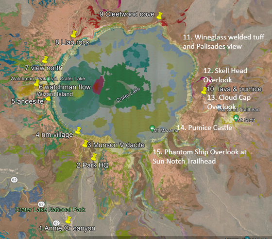
This is a revised trip map from the field guide. We visited stops 1-4 and 6-9 on Day 1 and stops 11-15 on Day 2, plus the Rogue River Natural Bridge area (see vicinity map above).
article by Field Trip Director Carol Hasenberg with edits by Dr. Benjamin Sloan
This trip began in the mind of GSOC member Dr. Benjamin Sloan after he joined the society last year and participated in the Coaledo trip last summer. By September he was emailing me and asking whether we would consider doing a trip to Crater Lake. I replied that we’d consider the trip, then added a long list of logistical considerations that needed to be worked out, thinking that would be the last I’d hear from him. Well, one month later he had researched the technical papers, gone to Crater Lake to research lodging and travel routes, and sent me a list of tasks he’d completed. Turns out that Ben has been planning field trips worldwide and teaching geology for years as well as doing oil exploration. We then went after the trip full bore, with Ben and co-leader Dr. Lee Fairchild drafting a thorough field trip guide, speaking to Crater Lake researchers, etc. We worked out the logistical considerations of transportation, permits and lodging by midwinter, and Ben made several reconnaissance trips to the area. So, after a year of meticulous planning and anticipating, the GSOC trip to Crater Lake finally began.

The trip agenda is derived largely from an excellent field trip guide written by volcanologists Charles Bacon and Heather Wright and published by the USGS in 2017. Their publication was deemed highly technical, so Ben and Lee wrote a field trip guide with a long introduction about volcanoes in general and Cascades Volcanoes in particular, to give trip participants with less technical knowledge the background they needed for the trip. They also rewrote the stop information in less technical language. Lavishly illustrated, this is one of GSOC’s best field guides ever.
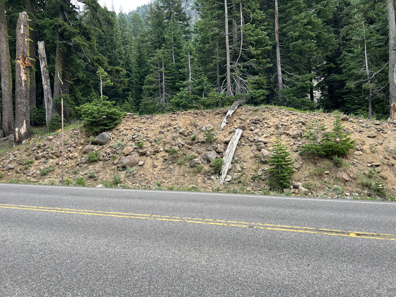
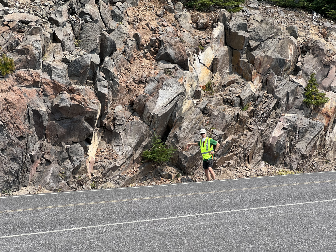
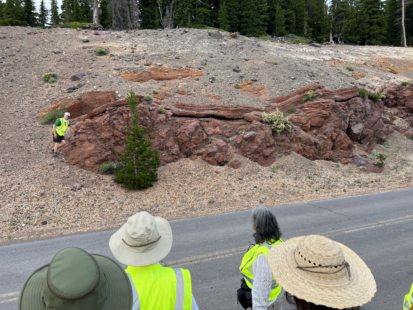
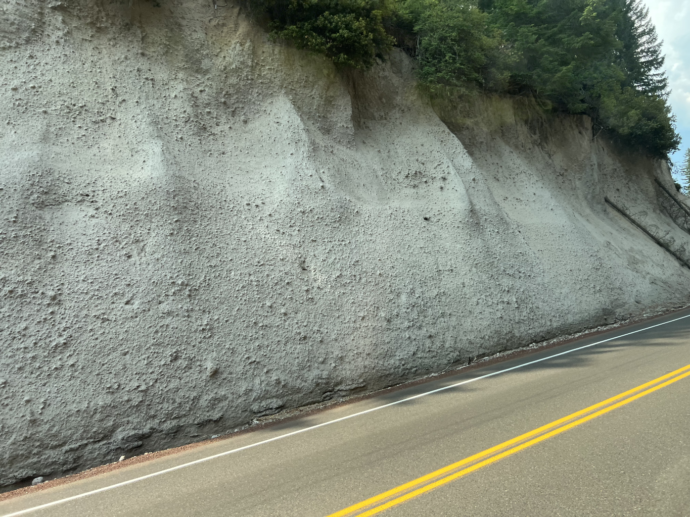
The trip co-leaders conducted the trip in an engaging method of presenting the material at the stops. At each stop, we were asked to first list our objective observations before considering interpretations based on the observations. Then, we compared the results to the published conclusions of the researchers. For example, at stop 2 there is a roadcut with poorly sorted angular clasts of rock surrounded by a tan matrix. Is this a pyroclastic flow, an ashfall, river deposit, glacial till, lahar, or landslide? How does one distinguish the cause? This was a good method because it engaged our minds and there were a lot of similar roadcuts on the trip. We needed to look at regional context, whether there were inclusions of organic material, bed flow, clast form and size amongst other considerations.
The geology of Mount Mazama can be broken down into four stages:
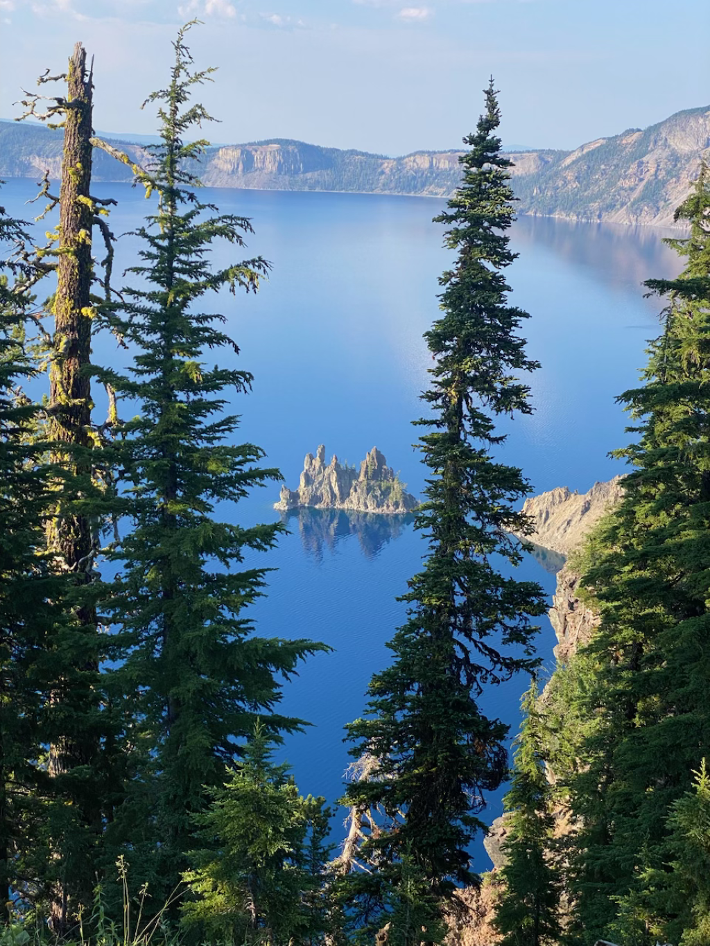
· The oldest sections of the mountain are of an andesitic shield and stratovolcano, and the very oldest sections, represented by the volcanic plug of Phantom Ship and Mount Scott, are located on the southeast sections of the caldera and mountain edifice. The ages for the stage 1 outcrops are from 400,000 to 30,000 years. These outcrops are represented on the caldera walls as relatively thin layers of material accumulating over these years.
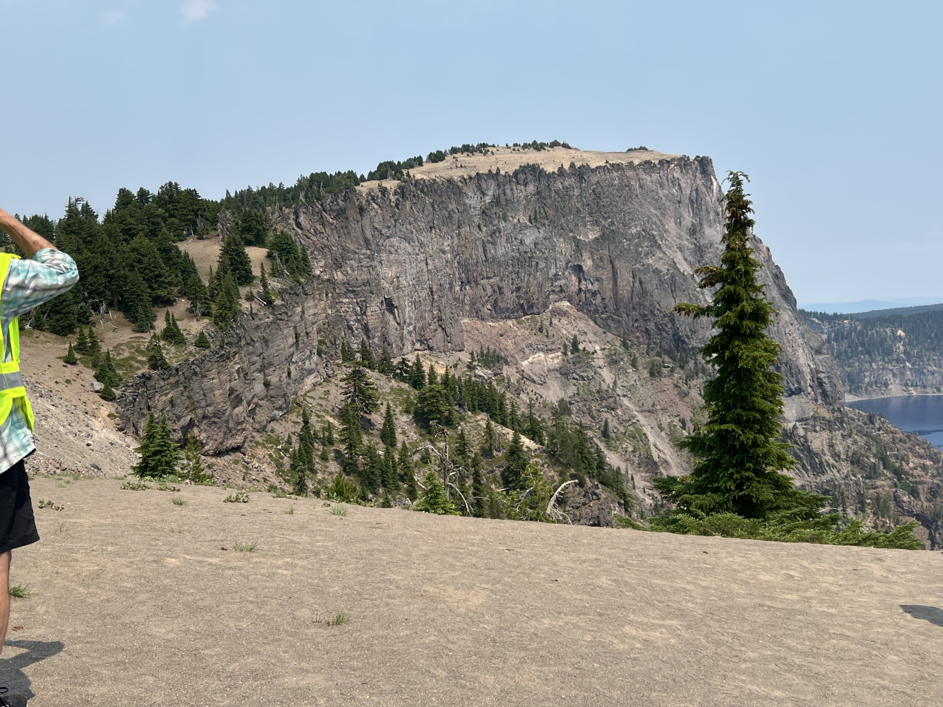
· About 30,000 years ago, the volcanic output became more silicic and viscous. A number of dacite domes built atop the andesitic edifice. The pasty magma in the volcanoes’ magma chamber accumulated during this period and set up stage 3. Today we can see Llao Rock on the northwest caldera wall which is the best example of a dacite dome of this period.
· Just 7,700 years ago Mount Mazama blew its top. This event, which occurred over a period of days or weeks, began with a Plinean-style eruption from a central vent. This highly explosive eruption ejected a large column of material which went high into the atmosphere and then fell as pyroclastic flows down the northeast side of the mountain. With a large volume of material gone from the rather shallow magma chamber, the top of the mountain began to collapse into the void. The resulting cracking and failing of the material around the edges of the magma chamber became conduits for the expulsion of more magma, and this ring-vent phase was a second huge eruption.
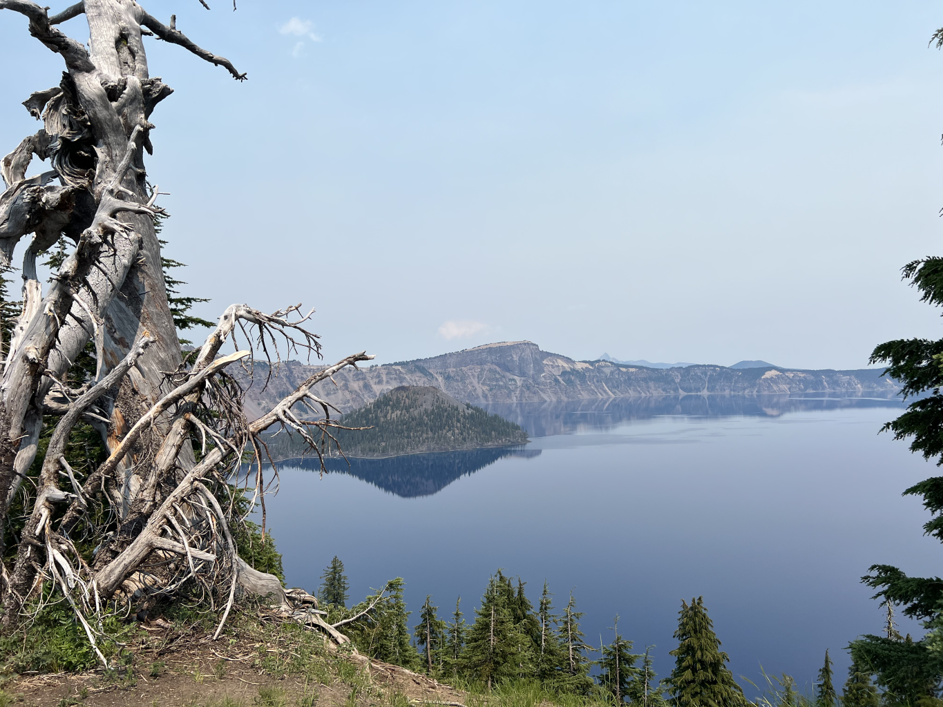
· The final stage of the life of Mount Mazama has seen some resurgent andesitic dome building in the caldera, similar to what we see at Mt. St. Helens today. Wizard Island within the lake is the part of this that sticks up above the water.
On this trip, we did not get much of an opportunity to talk about the water of the lake itself, which is also a unique and marvelous system. However, we did get to talk about the rather steady level of the lake. Why doesn’t the water in the lake fill to the top of the caldera walls and burst over the top? Well, most of the walls of the caldera are impervious, but there is old glacial till and fluvial deposits underneath the 159,000-year-old Palisades andesite on the northeast wall of the caldera. These porous sediments probably control the level of the lake and give researchers important insights into what the height and summit location of ancient Mount Mazama were like.
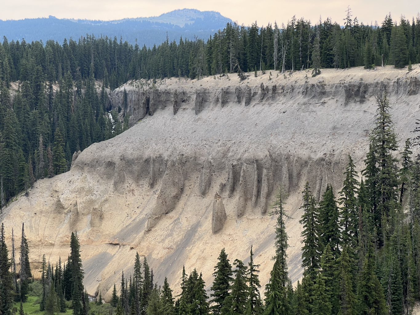
We also observed the ashfall and pyroclastic output of the climactic eruption, which is very thick near the volcano and also can be found all over the Pacific Northwest. The ash and pyroclastic flows came out in 4 stages, and these can be easily seen in the eastern caldera walls at the overlook near Skell Head. The central vent erupted first, so the buff layer at the bottom came from this vent. The welded orange tuff above that is the Wineglass Welded Tuff from the pyroclastic flows at the conclusion of this eruption. Then the clast laden, brownish layer above the tuff is the ring vents “clearing their throats.” Finally, the fine whitish ash layer at the top is the remainder of the magma being ejected in the main ring vent eruptions.
The trip was originally planned for a day around the caldera and a day that included a boat trip inside the caldera. Unfortunately, the boat vendor was not up and running this year and the boat trip did not happen. Instead, Ben and Lee added a second day of touring in the vans around the caldera to replace the boat trip, and Ben added a supplement to the field trip guide.
We would also like to offer special thanks to the volunteers who drove the vans for the trip, Sheila Alfsen and Larry Jordan. They did a great job and had to drive those vans for 4 days. We could not have done the trip without their service.
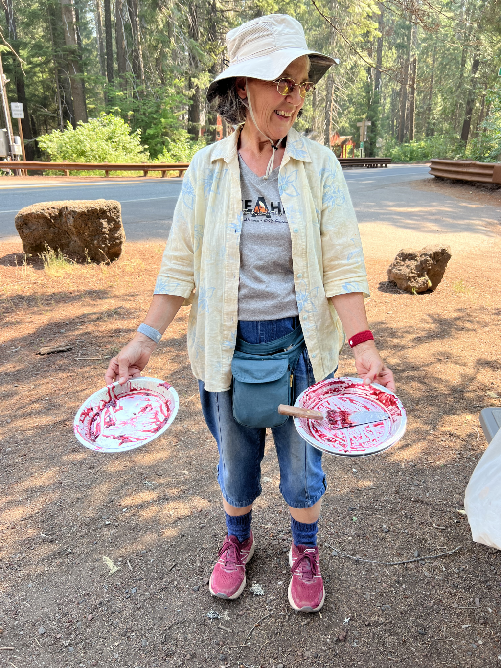
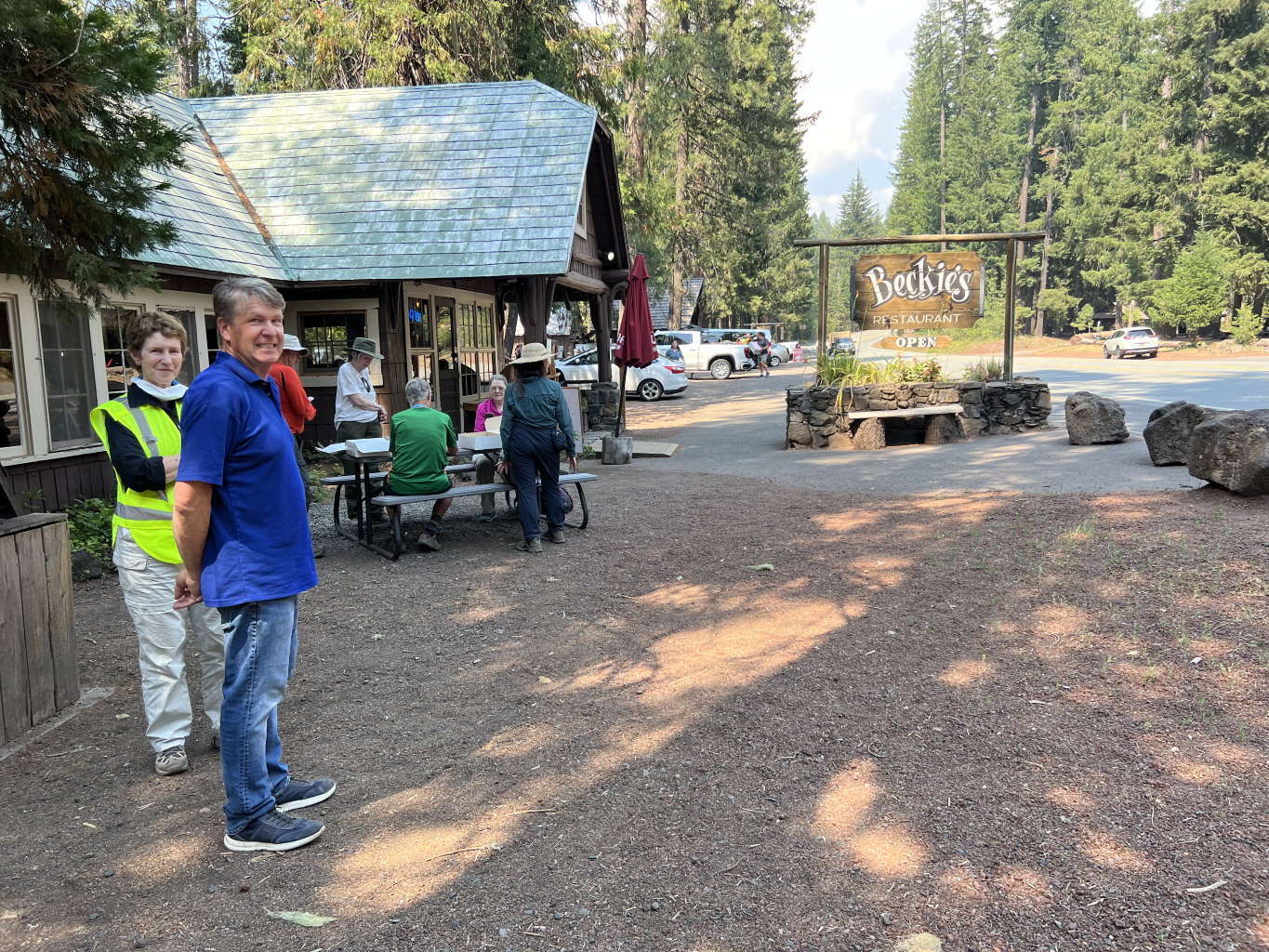
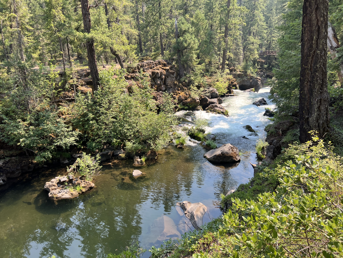
And as the trip wound to its conclusion, we drove over to the Rogue River Gorge to see some outrageous lava tubes and stopped off at Beckie’s Restaurant to gobble down fresh berry pie and ice cream. This was a great way to end the trip and the ice cream helped to beat the heat from unusually high temperatures both days of the trip.
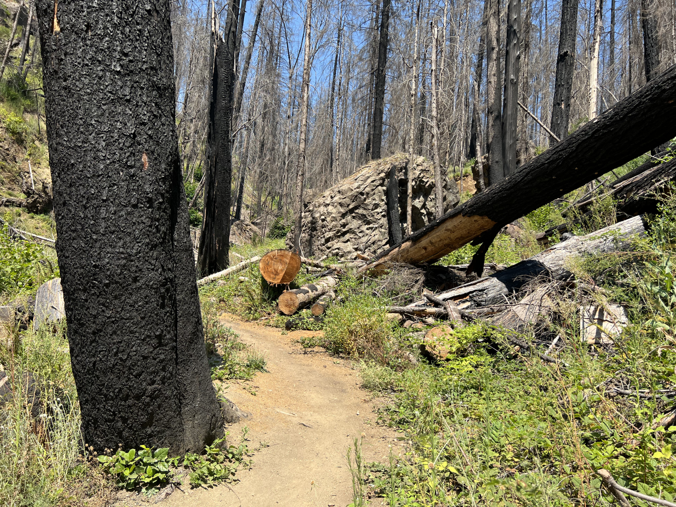
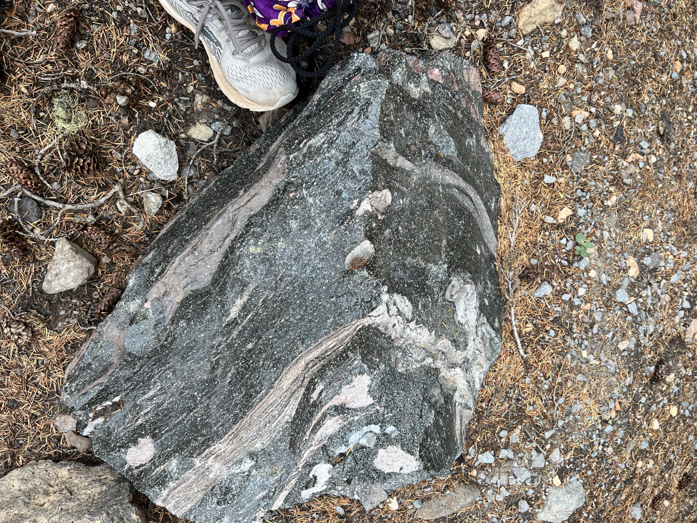
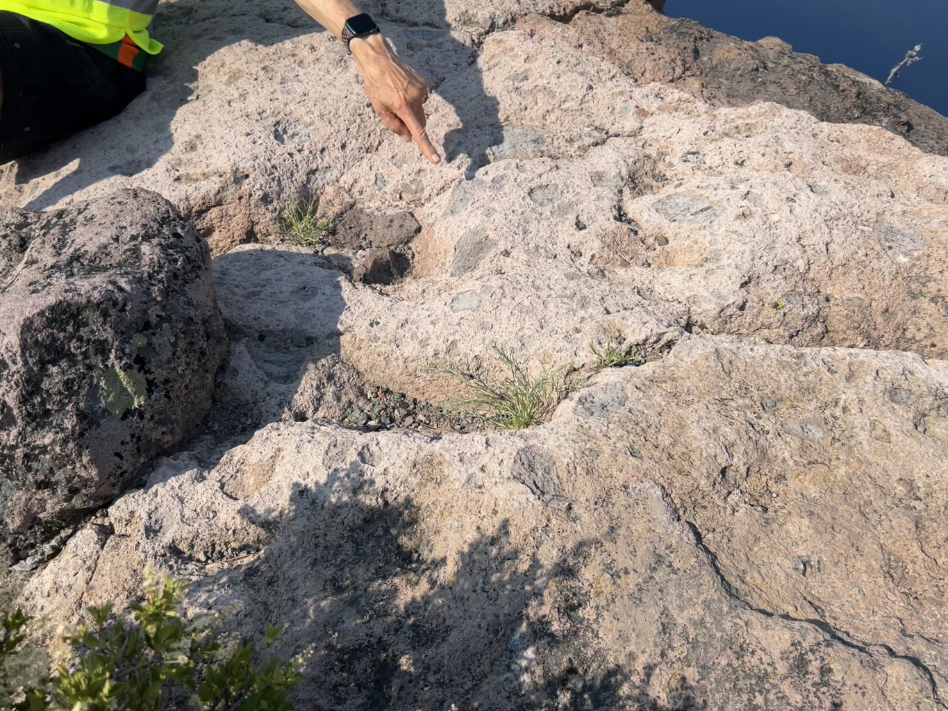
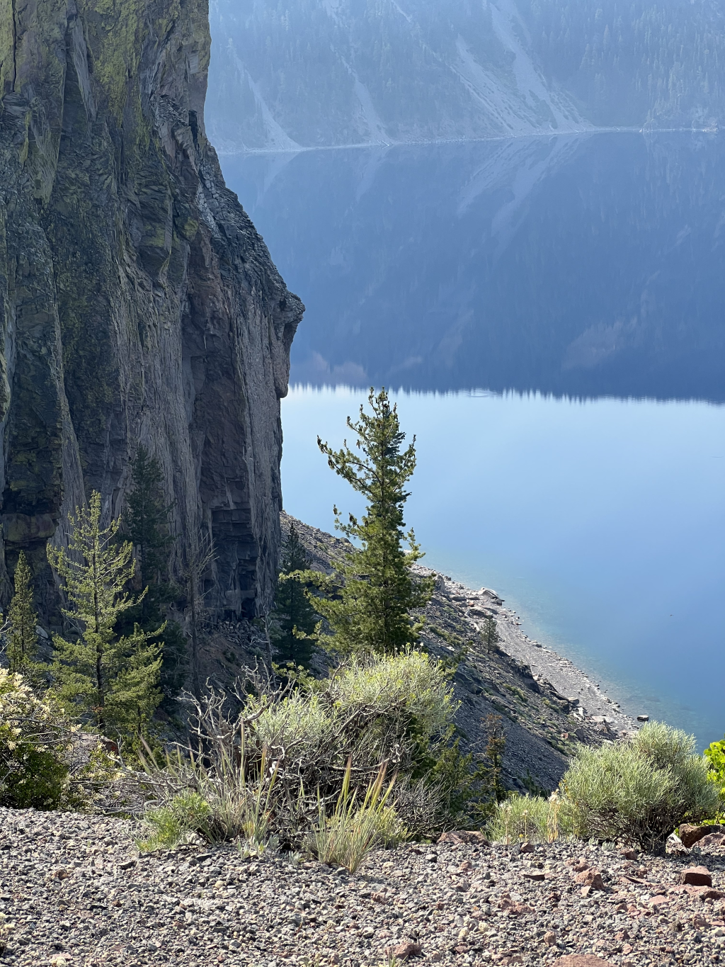
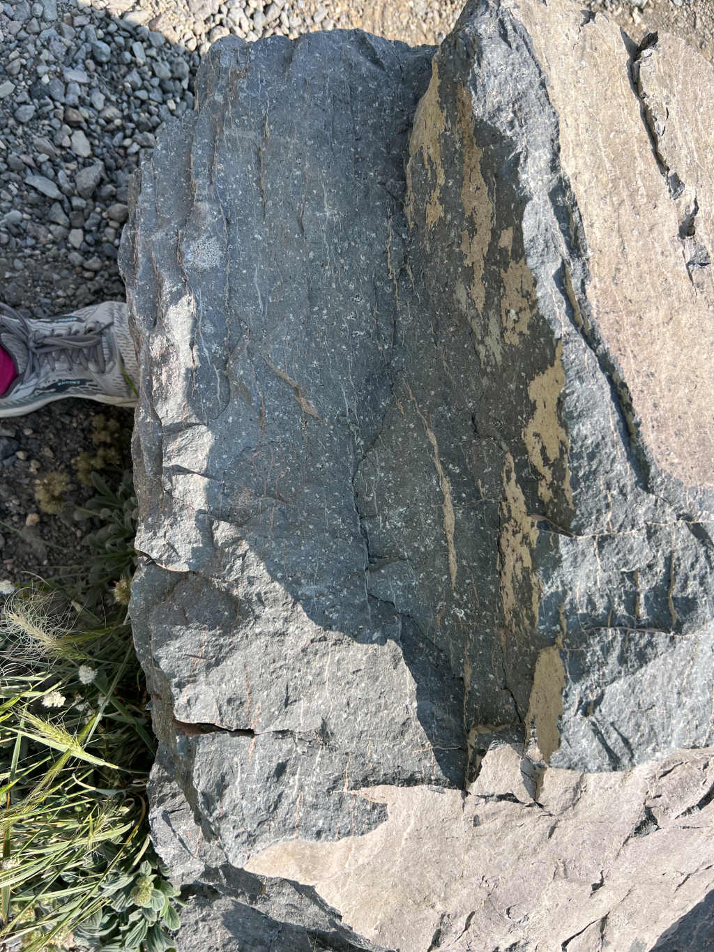
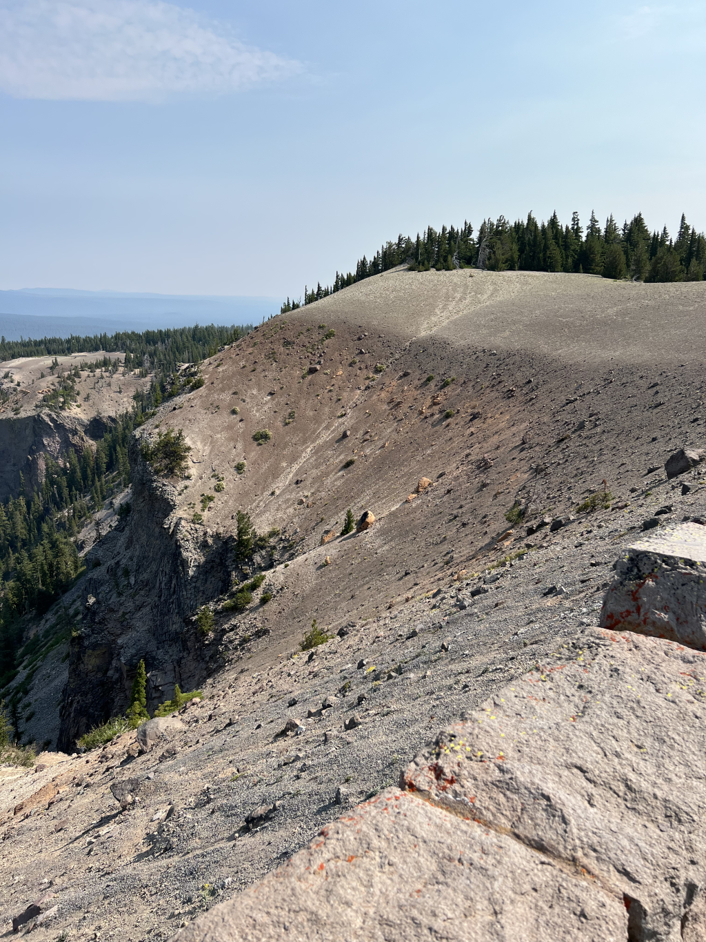
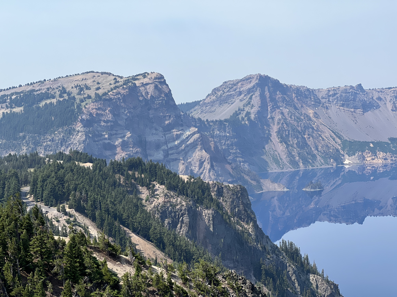
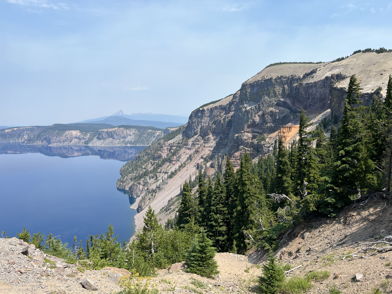
Pictures of the geology on Day 1:
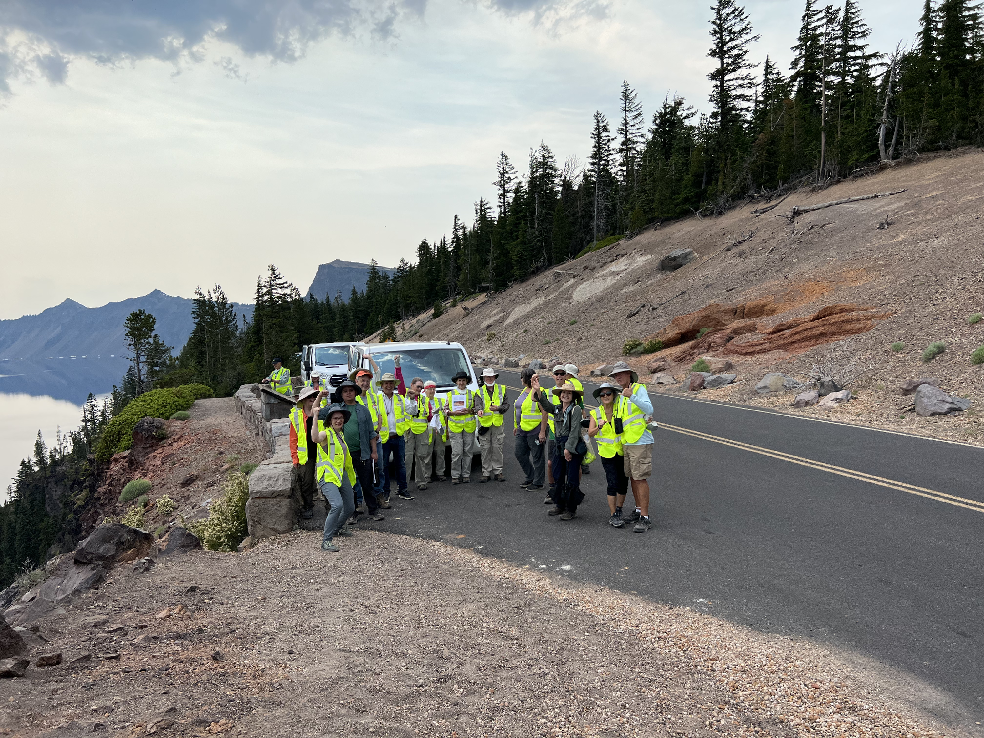

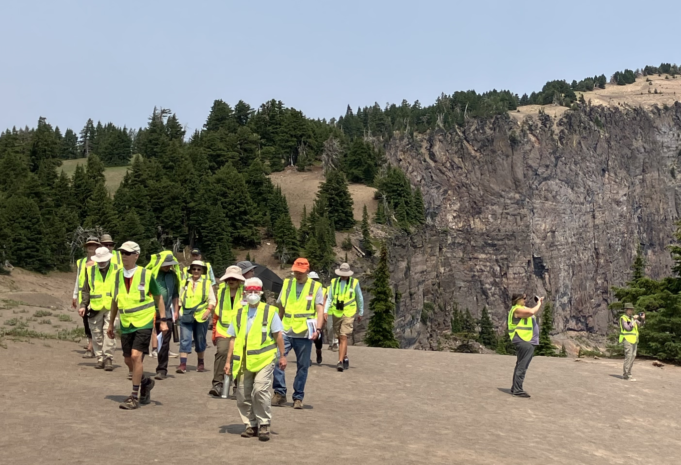
The group shot taken from the Wineglass Tuff stop at the beginning of Day 2.
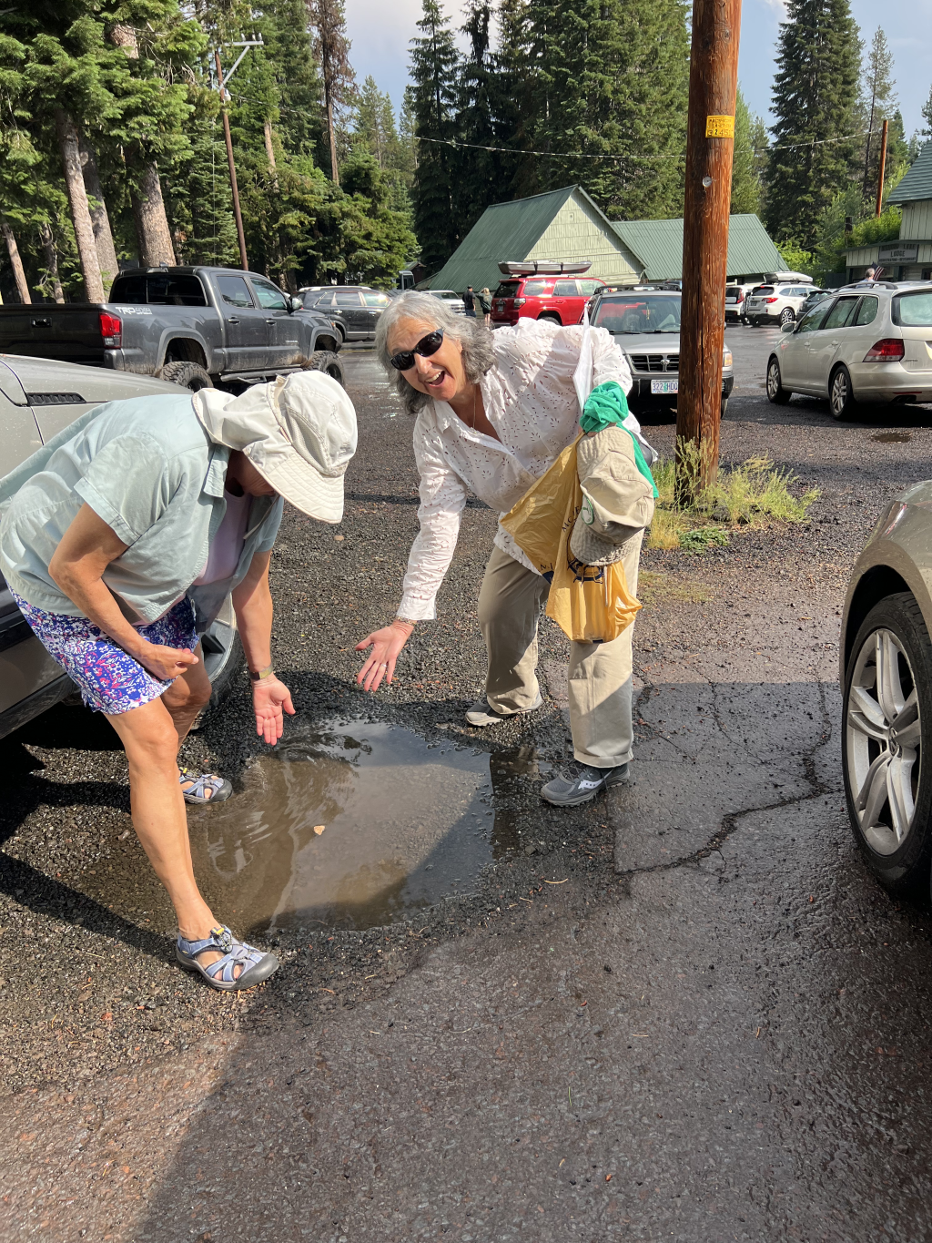
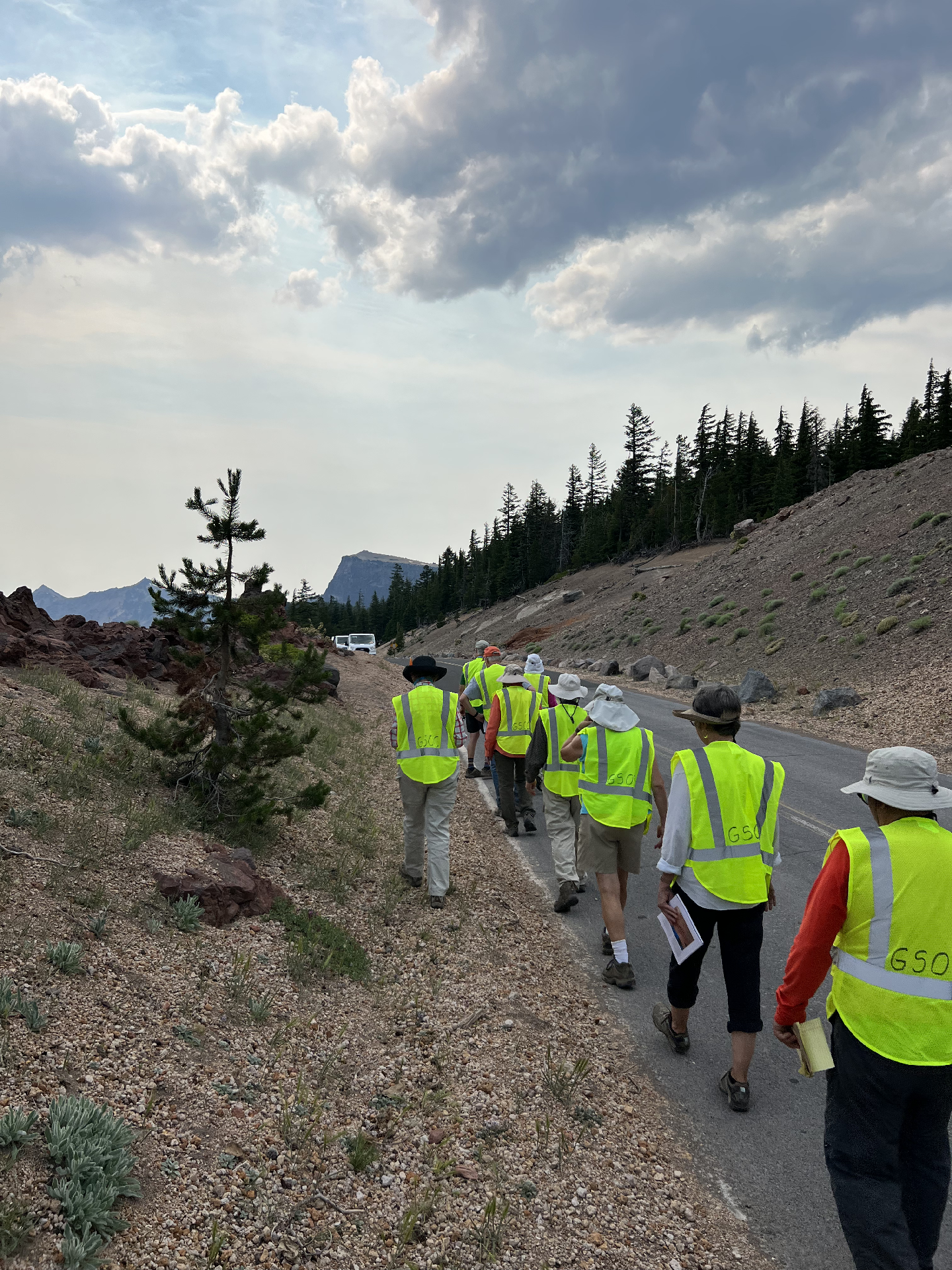
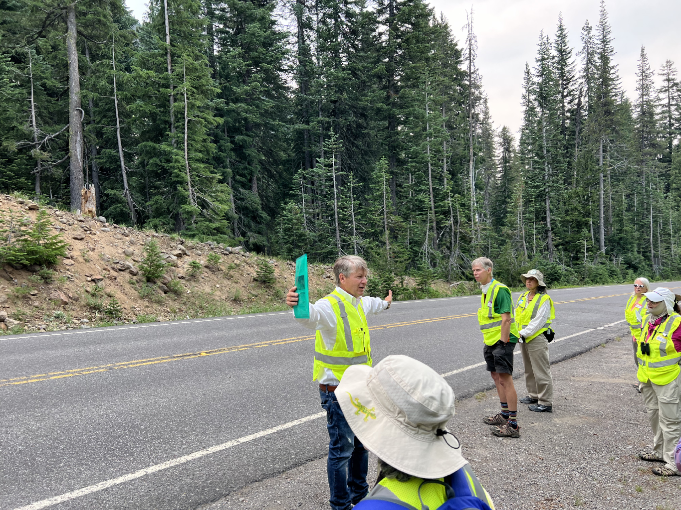
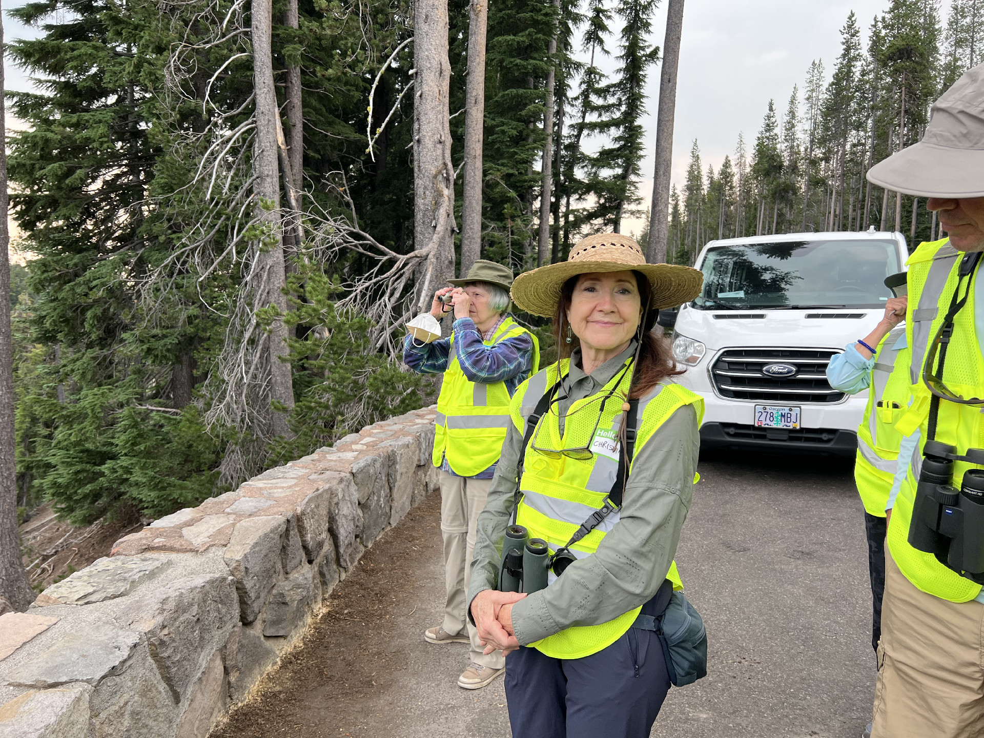
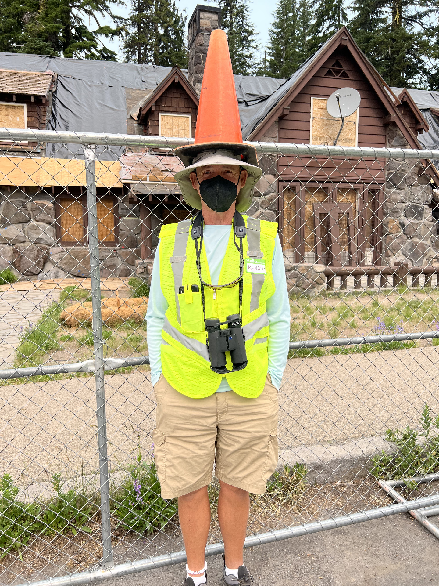
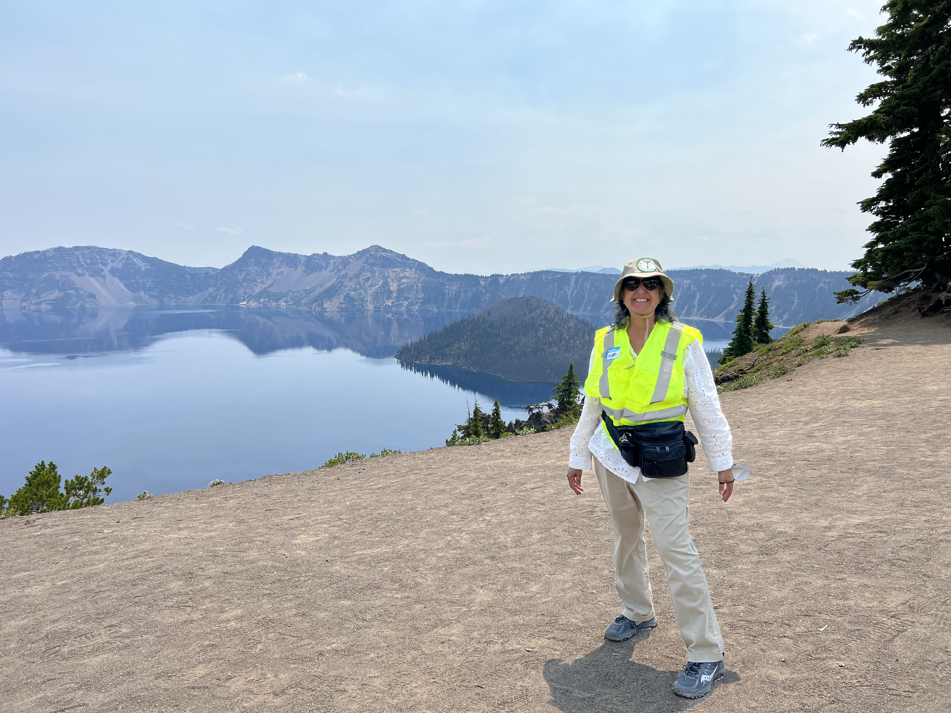
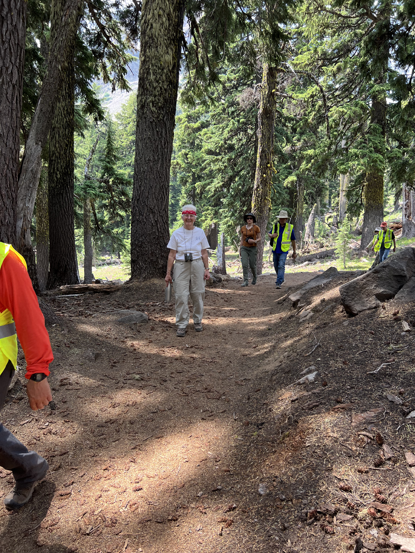
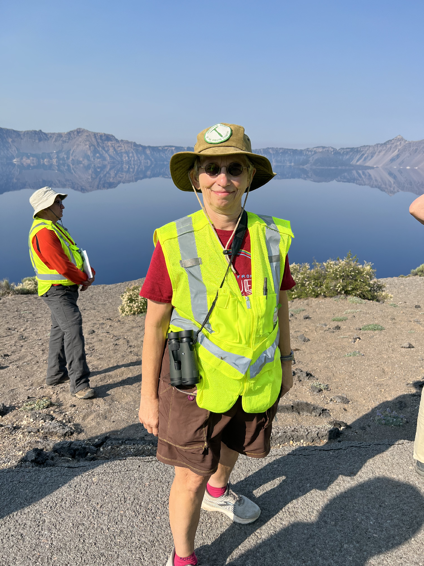
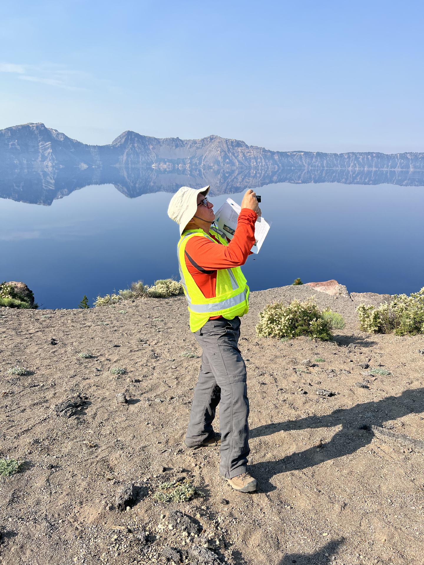
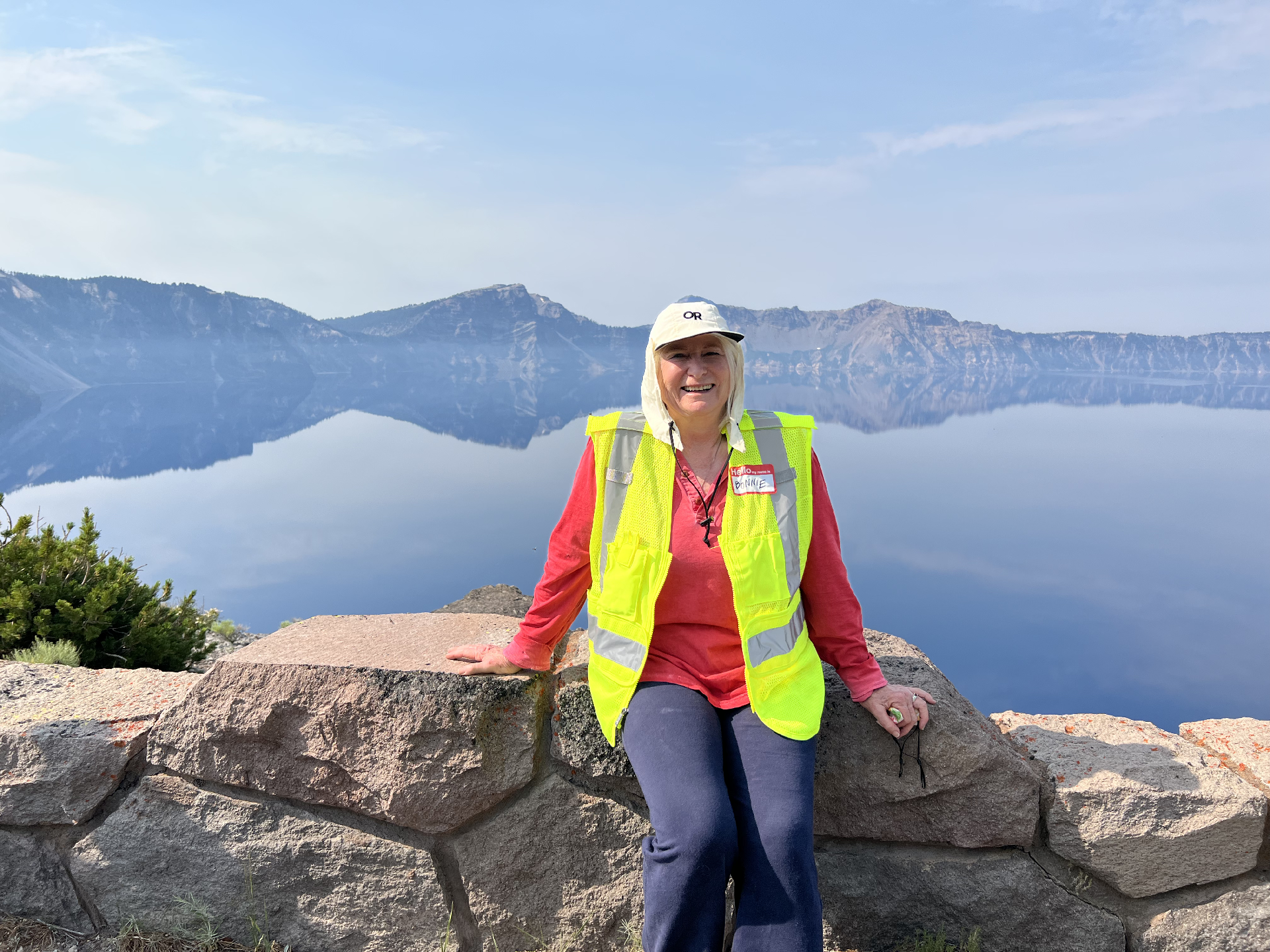
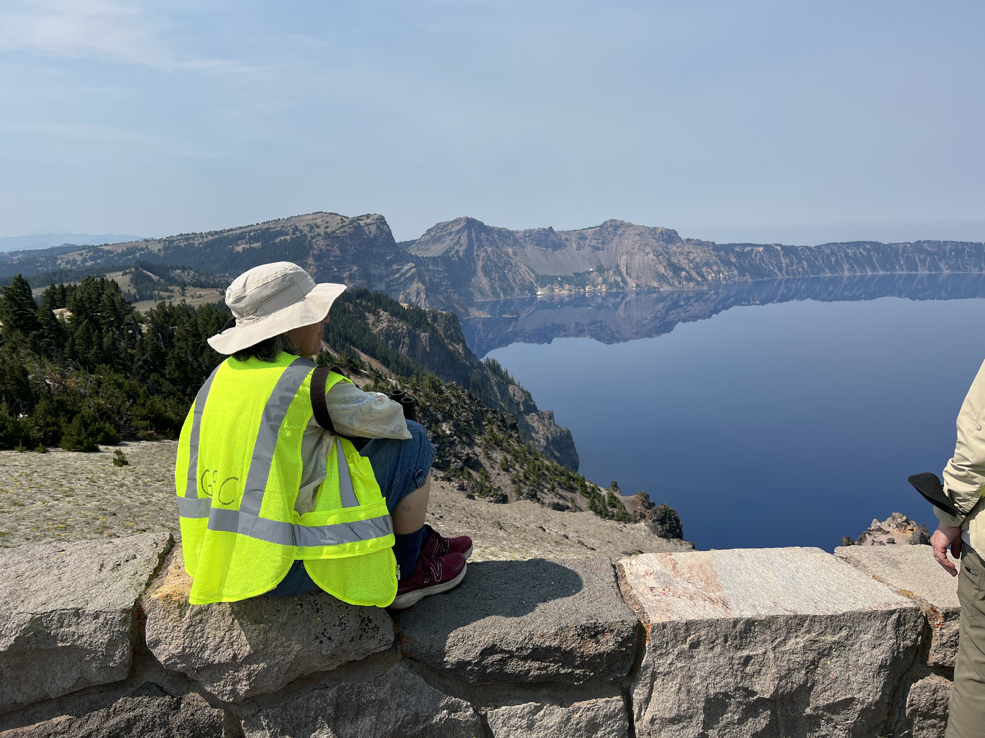
Here are some shots of the people on the trip:
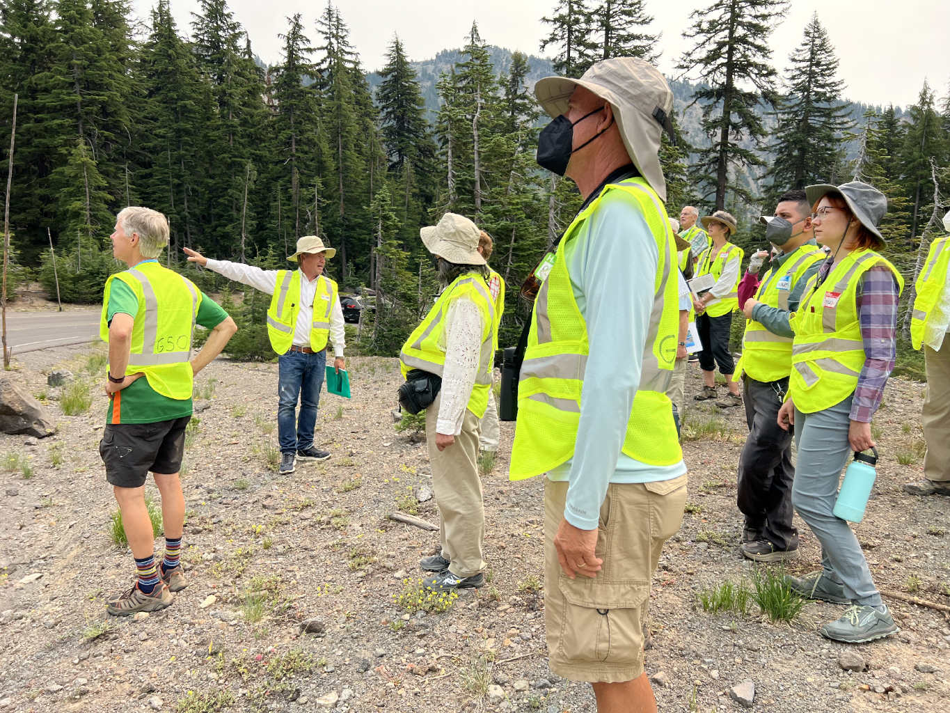
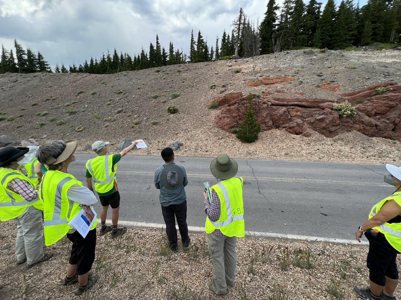
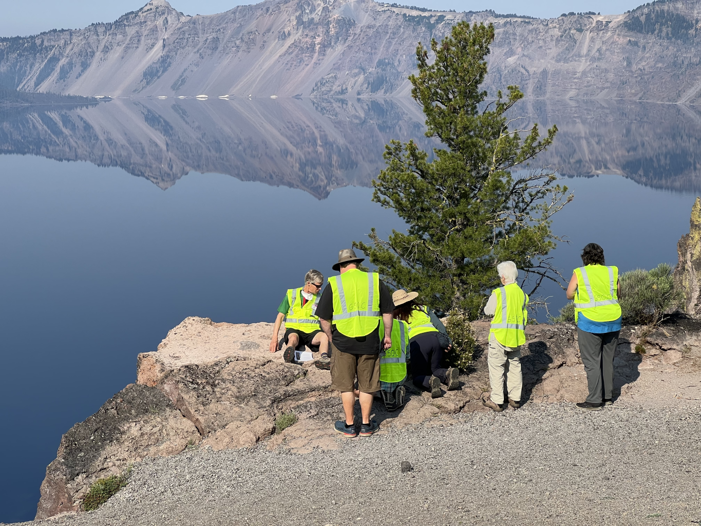
Day 2 Geology shots:
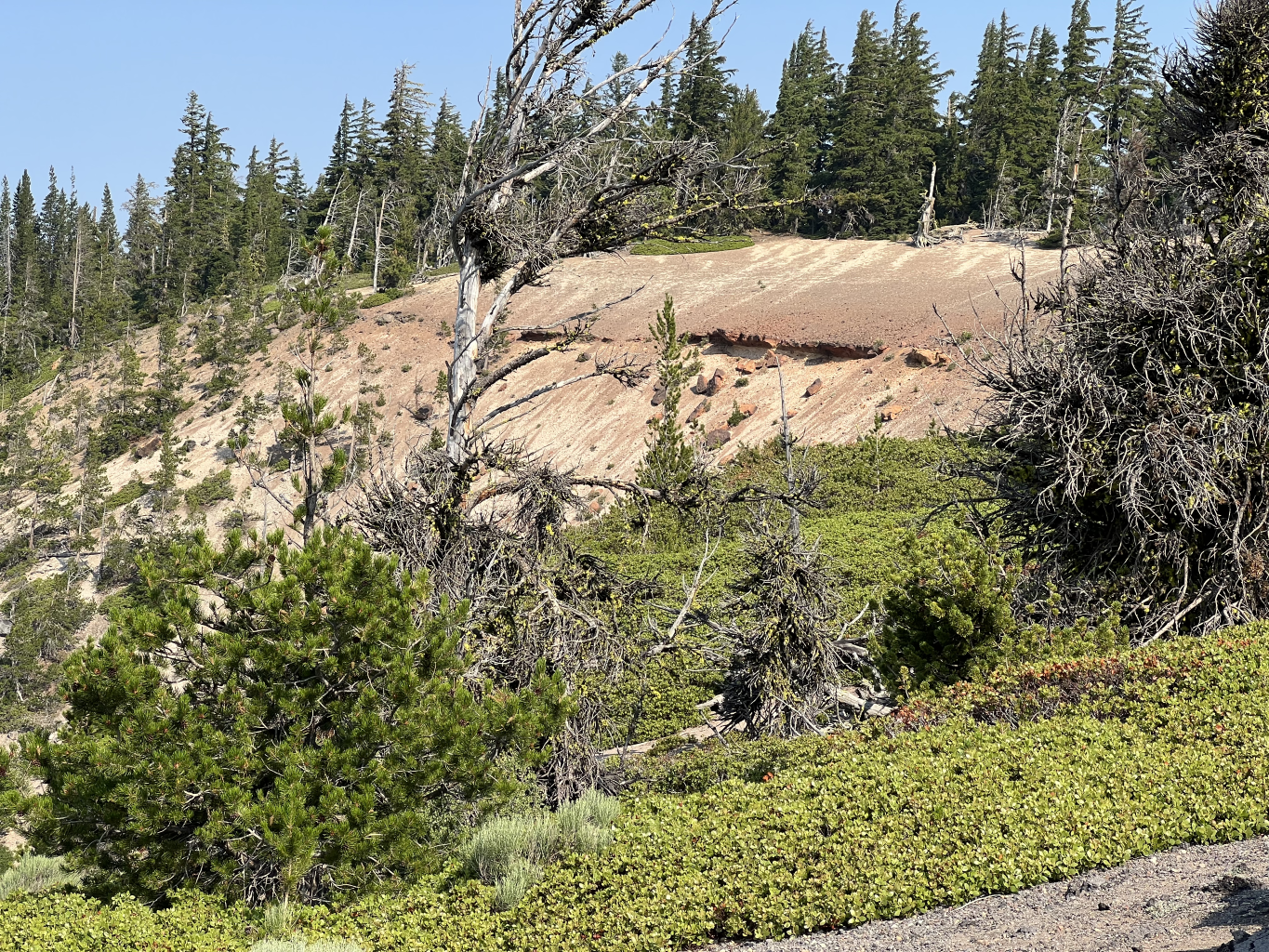
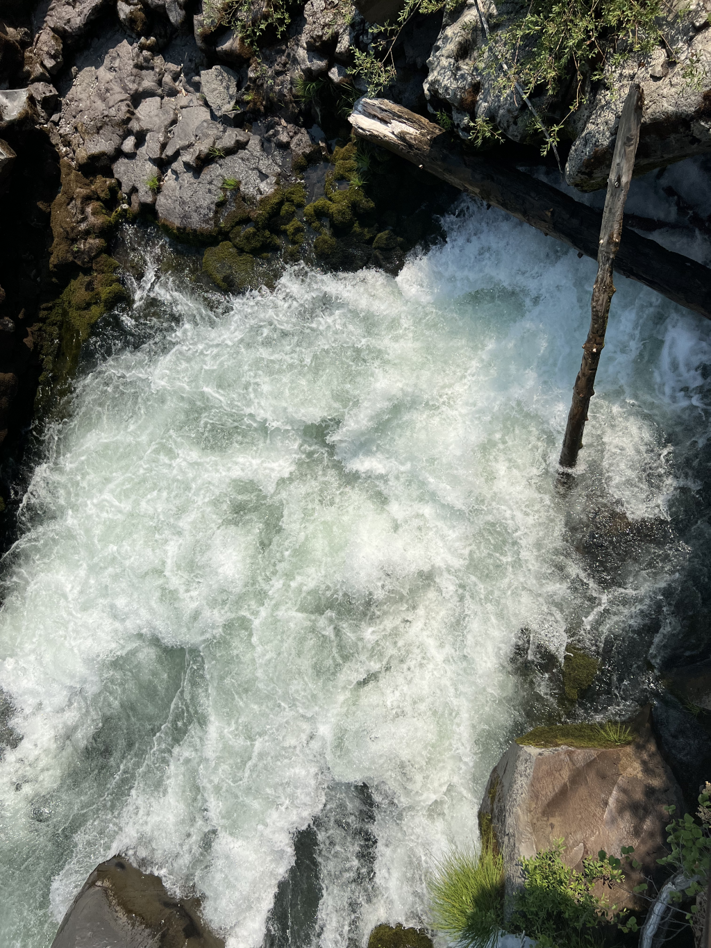
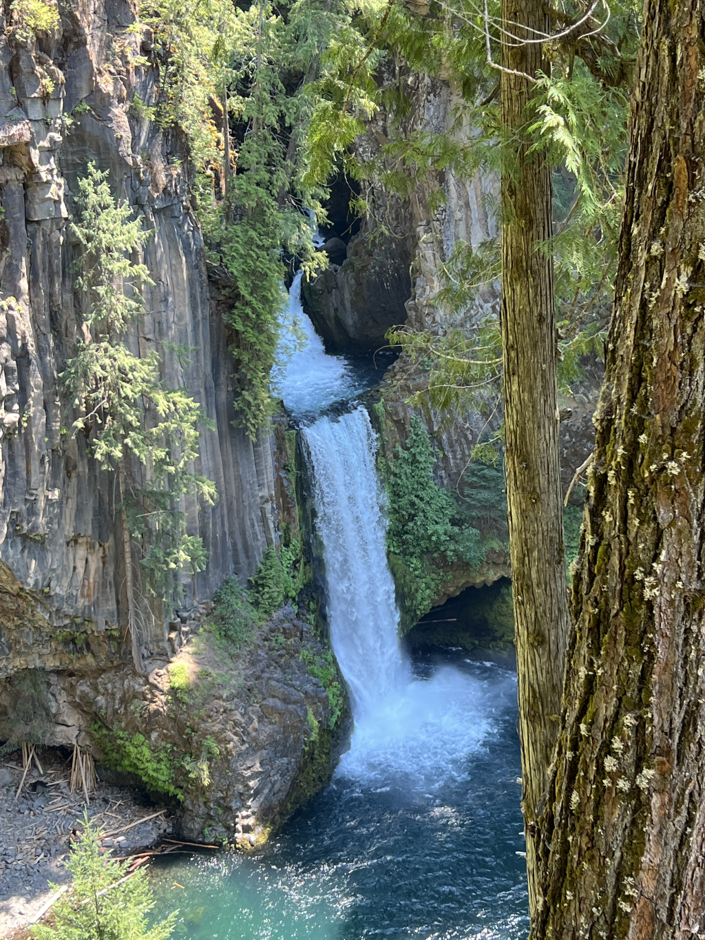
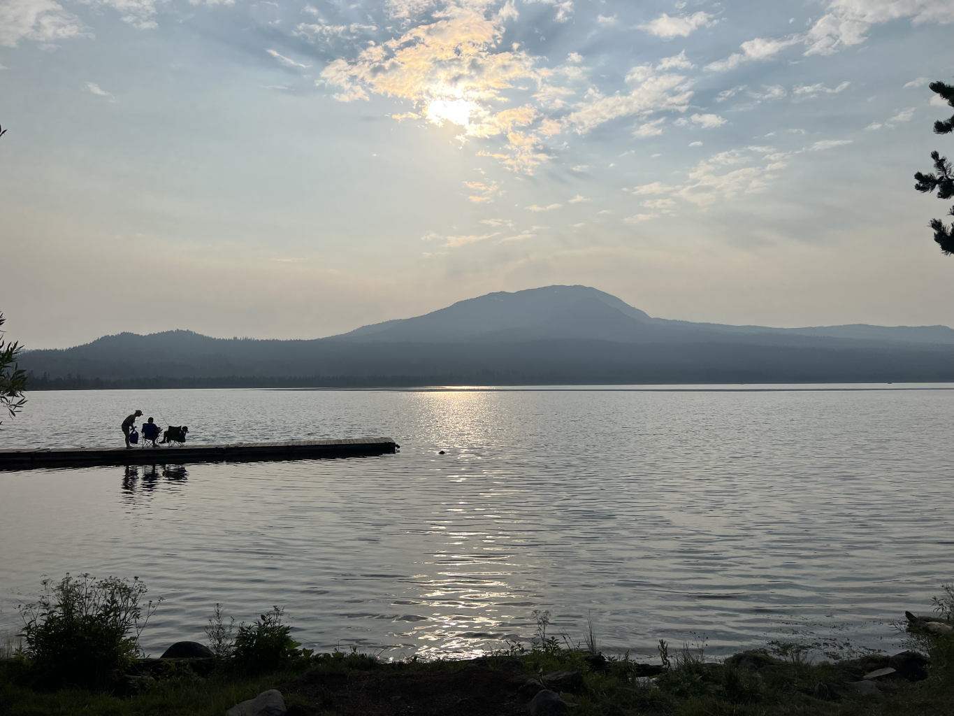
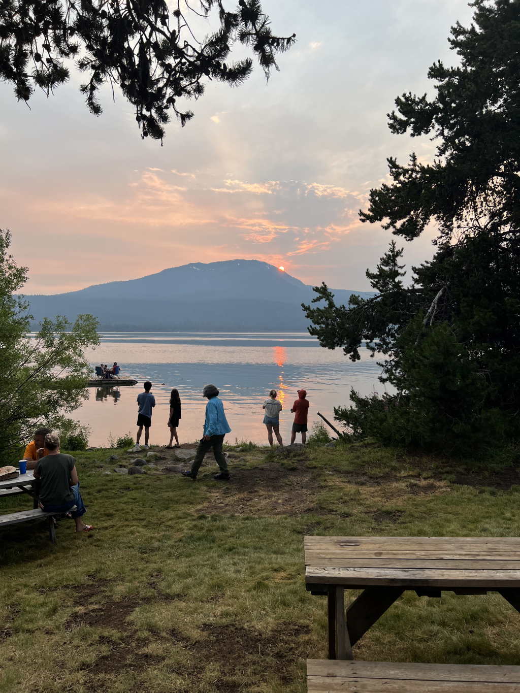
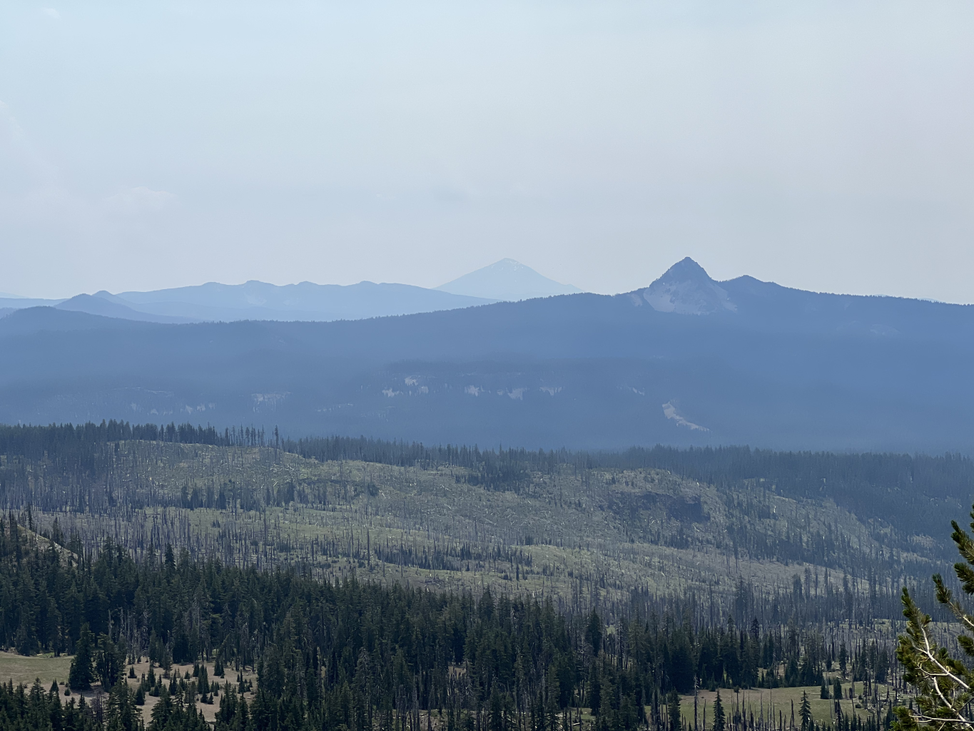
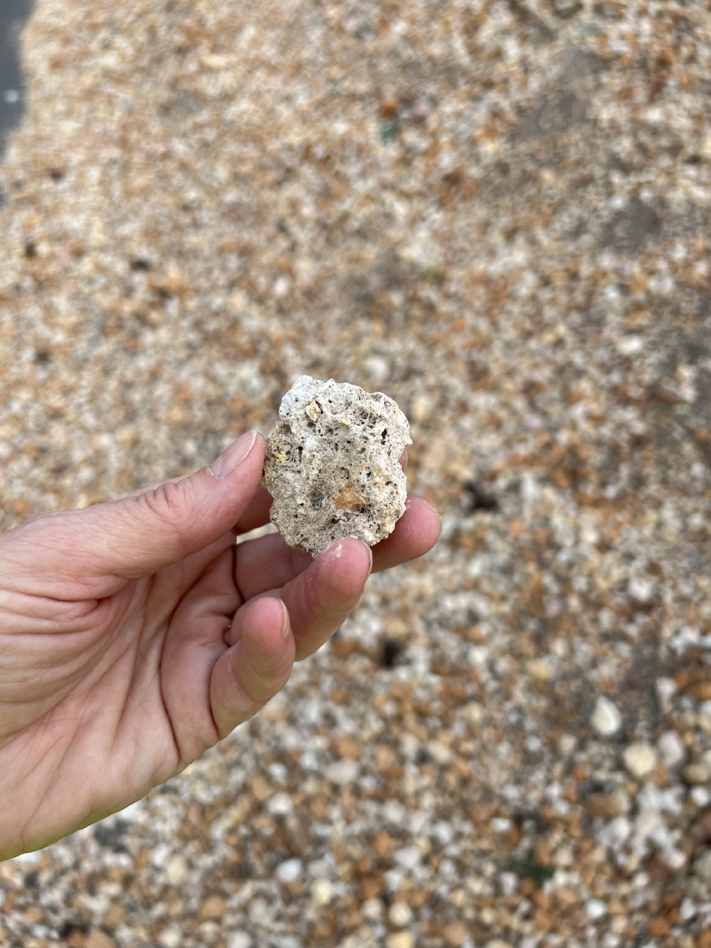
Here are some photos of geology peripheral to the trip and miscellaneous shots from the trip: