GSOC 89th Annual Banquet Recap
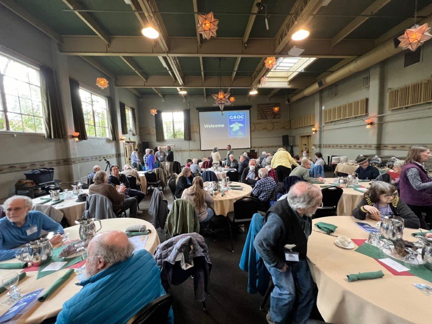
/The GSOC 89th Annual Banquet event at McMenamin’s Kennedy School in Portland proved to be one of the most successful events we have had in the past decade.

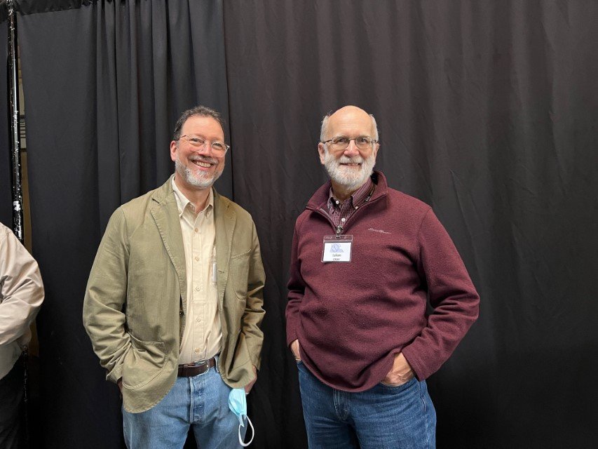
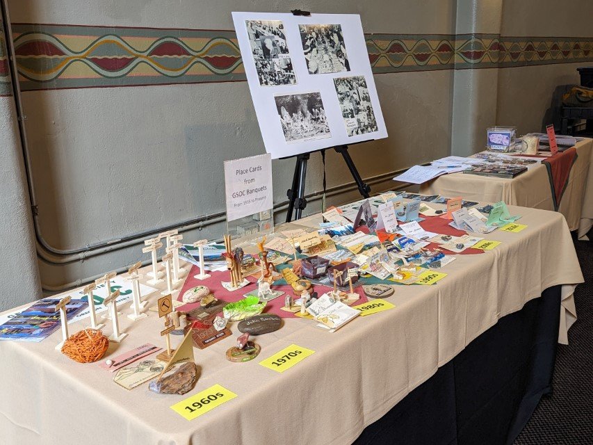
Ten of the eleven GSOC Presidents & Past Presidents attending the 2024 banquet: current President Julian Gray, Past Presidents Carol Hasenberg, Janet Rasmussen, Sheila Alfsen, Jane Walpole, Bonnie Prange, Paul Edison-Lahm (rear), Tom Gordon, Clark Niewendorp (rear), and Larry Purchase. Not shown is Past President Clay Kelleher, who was the emcee for the event (see other pictures). Photos by Carol Hasenberg unless labeled otherwise.

Chief banquet organizer Barbara Stroud
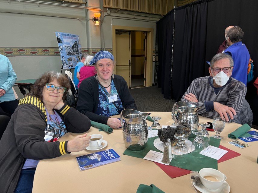
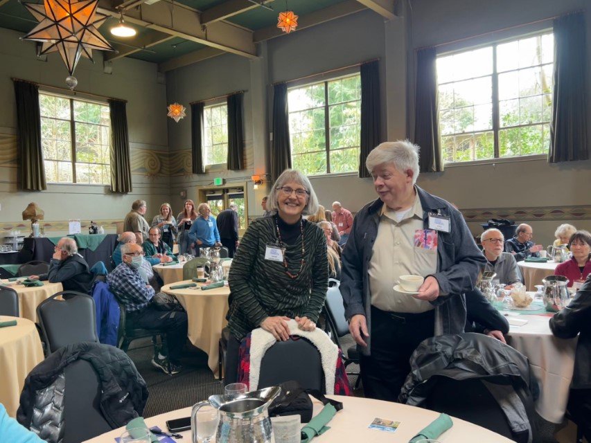
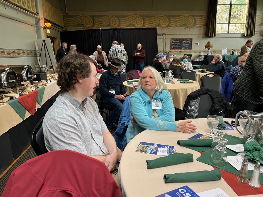
About 60 attendees were welcomed into the Kennedy School gymnasium for the event. After a delicious buffet, the GSOC meeting began with the honoring of our past board of directors, including outgoing President Clark Niewendorp, who presided over the board for 3 years. Carol Hasenberg read a synopsis of the accomplishments of the Niewendorp presidency which mentioned the activities of all the past and incoming board members. Outgoing board members Dawn Juliano and Denny Chamberlin were especially thanked by Clark.
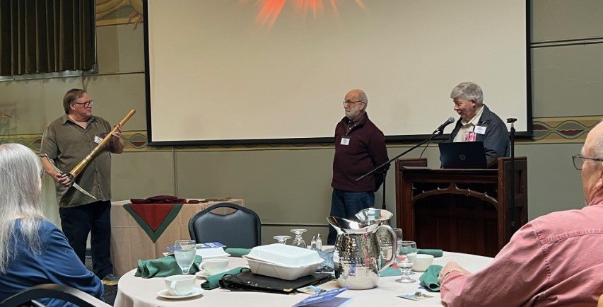
Then emcee Clay Kelleher introduced the new GSOC President Julian Gray, and the ceremonial passing of the GSOC memorabilia commenced. Julian then explained the focus of his presidency, including more outreach to the younger generation of geologists.

Outgoing president Clark Niewendorp “passing the torch” to Julian Gray.
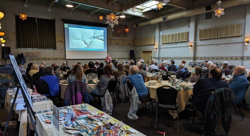
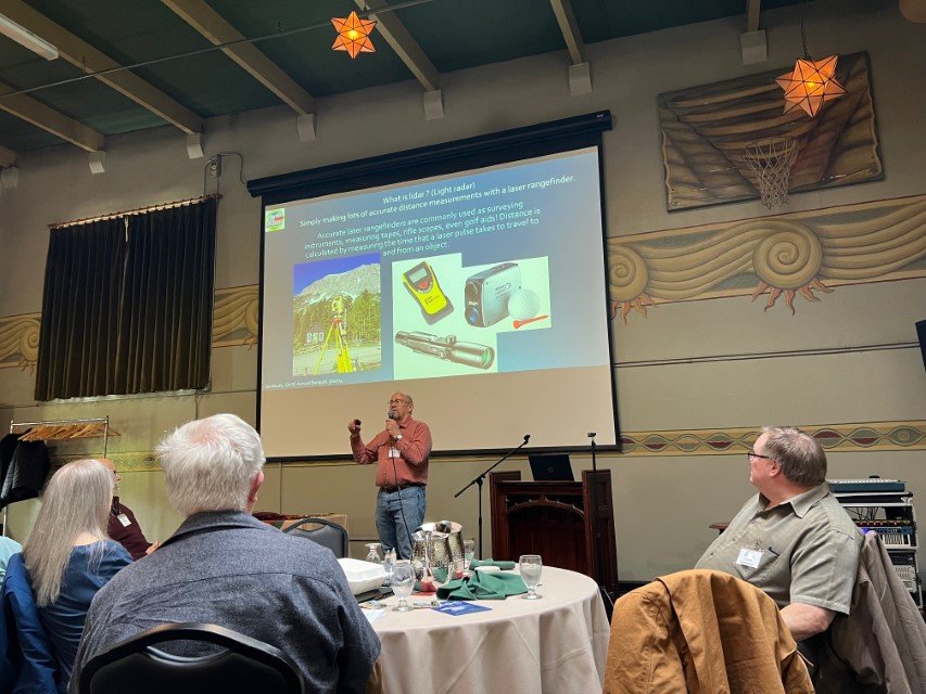
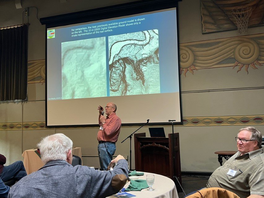
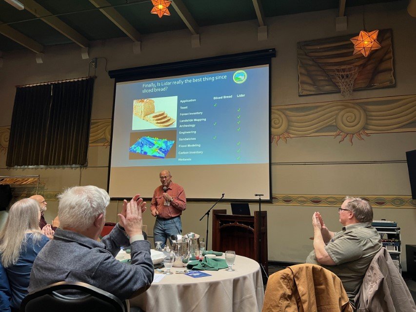
After Julian’s address, Clay then introduced speaker Ian Madin, who spearheaded the Oregon Department of Mineral Industries’ acquisition of LiDAR map data for the state of Oregon over the past two decades, making Oregon one of the earliest state geology departments to have such data. LiDAR (which stands for Light RaDAR, Ian emphasized) is used to create a digital elevation map of the surface of the earth that is orders of magnitude more detailed than the 10 meter DEM data previously made by the USGS.

Banquet speaker Ian Madin
Using LiDAR maps, geologists can create more accurate geologic maps and identify landslides, faults, and other geologic features much more easily and completely than in the past. Ian’s presentation of LiDAR slides focused on three areas of geologic interest - volcanic terrain, landslides and debris flows, and fluvial systems.
Ian went on to emphasize the beauty of LiDAR data acquisition is that the data obtained to date has cost the state of Oregon very little. Natural resource companies like Weyerhaeuser also gather LiDAR data these days in order to evaluate tree canopy coverage, determine quantities of individual trees and identify fire scorched areas. Tree canopy data is separated by ground surface data with computer algorithms, making LiDAR an extremely powerful tool. Ian went on to state that anyone can view state LiDAR data using an app called QTReader.
The banquet could not have happened without the tireless efforts of chief organizer Barbara Stroud, GSOC Treasurer. She was assisted by Clark and Joyce Niewendorp, Julian Gray and Barbara Epstien, Ian Madin, Paul Edison-Lahm, Nancy Collins, Kevin Brown, Bonnie Prange, Kyle Hersey and Carol Hasenberg.


