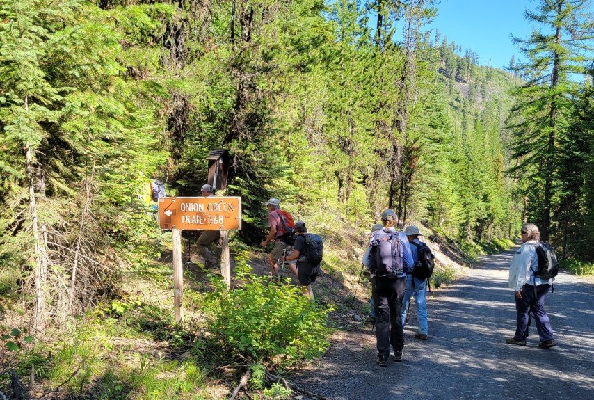
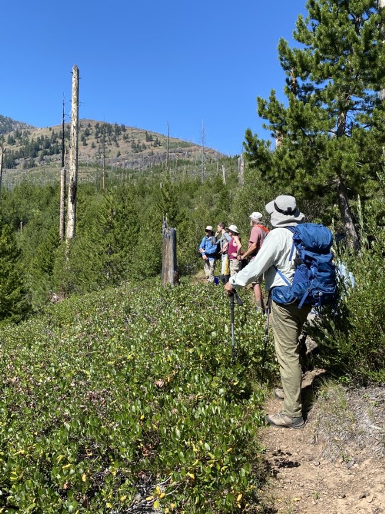
GSOC Strawberry Mountain Field Trip
/Recap of the GSOC Strawberry Mountain Faults Field Trip, August 5-7, 2022
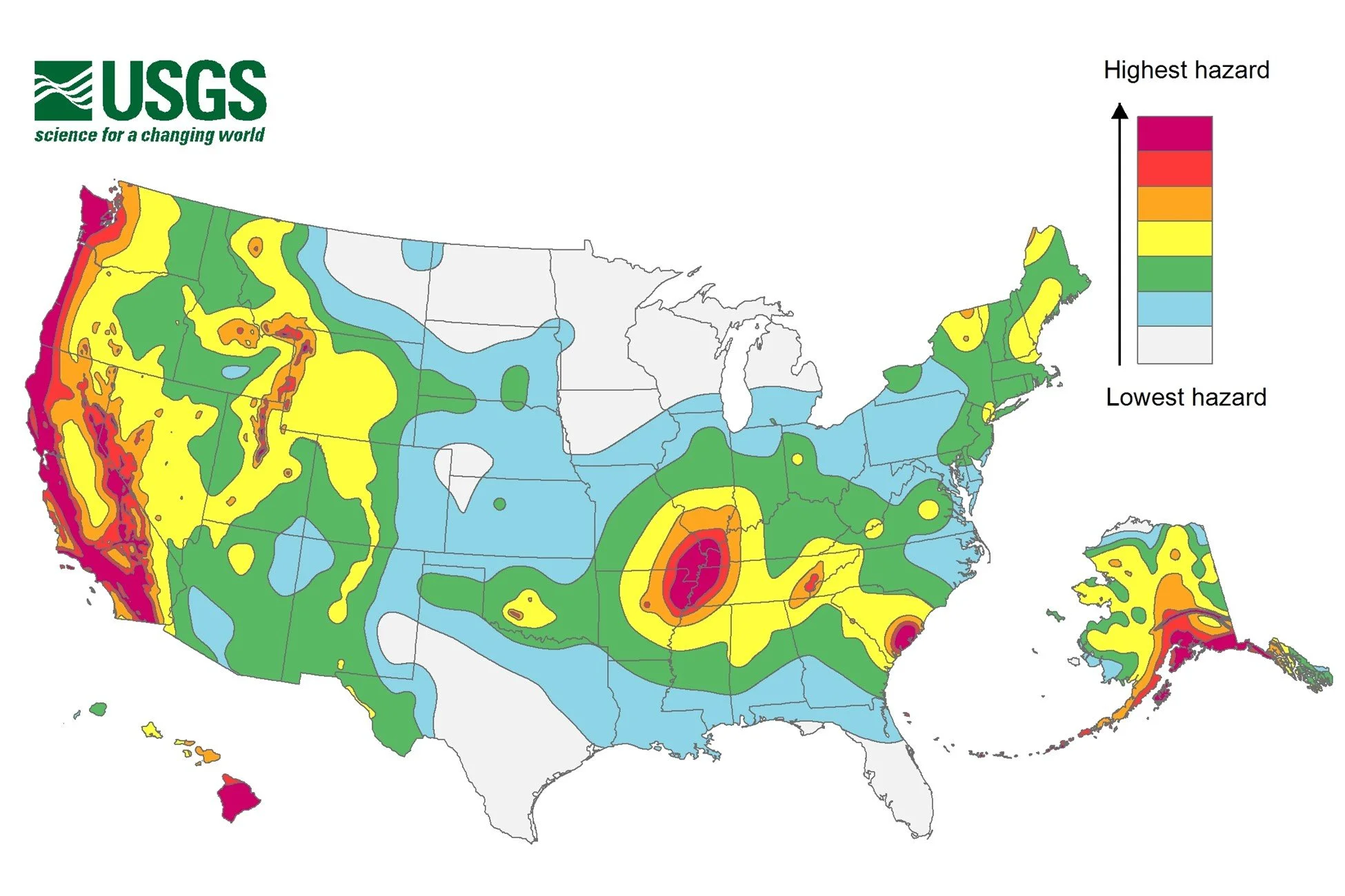
An example of a USGS seismic hazard map. This one maps the relative earthquake hazards in the U.S.
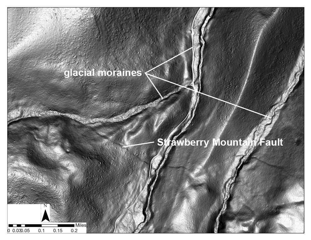
This is a LiDAR image of the Strawberry Mountain Fault.
Field Trip led by: Andrew Dunning, PSU Geology Masters student
Co-facilitated by: Denny Chamberlin and Carole Miles
story text by Carole Miles
photos by Carole Miles, Denny Chamberlin, and Kate Ely
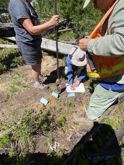
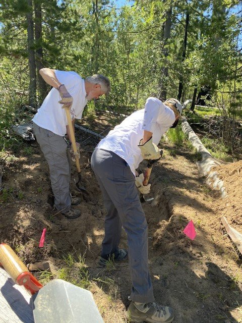
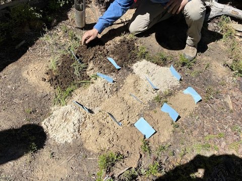
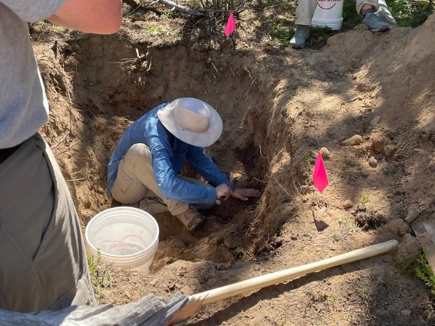
The Strawberry Mountain fault was discovered in 2019 by DOGAMI’s Ian Madin upon reviewing new LiDAR maps of the area. Andrew Dunning, looking for a project for his master’s thesis at Portland State University, realized that a lack of high-quality seismic data in this area of Oregon may have erroneously led to an inaccurate assessment of the seismic risk in Eastern Oregon on the USGS National Seismic Hazard Map. He has been working on gathering data related to timing and offset of the Strawberry Mountain fault for the past two years. He was excited to take GSOC members into the field to show us what he has learned.