Lasers Light Up Prehistoric Perils in Oregon! New Mt. Hood Area Faults Discovered.
/
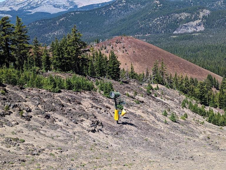
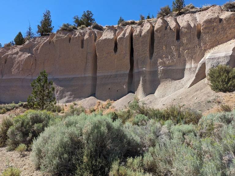
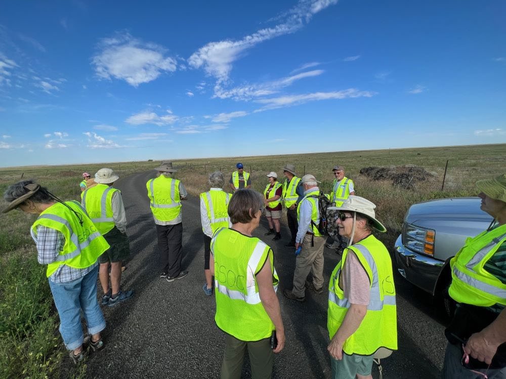
Boots on the ground verification of the Twin Lakes Fault. Source: DOGAMI paper “The Mount Hood Fault Zone—Late Quaternary and Holocene Fault Features Newly Mapped with High Resolution Lidar Imagery,” by Ian P. Madin, Ashley R. Streig, William J. Burns, and Lina Ma.
Synopsis of the GSOC 84rd Annual Banquet Lecture Given on March 10, 2019, with Speaker Dr. Ian Madin
by Carol Hasenberg
The title of this article is the ‘alternative title’ shown to us by Dr. Ian Madin, the speaker featured at the GSOC 84th Annual Banquet on March 10. Madin came to describe three new areas of Oregon containing active faults that were discovered by analyzing the ‘bare earth’ maps of the ground produced in LiDAR scans of the terrain.
Madin and the Oregon Department of Geology and Mineral Industries (DOGAMI) have embraced LiDAR technology for quite a few years now, and have found multiple uses for this high-resolution technique of mapping terrain, trees and buildings, and other physical features of our state. The ‘point cloud’ of precise LiDAR data, at a million to one-and-a-half million pings per second, can be used to construct maps of ‘bare earth’, tree cover, buildings, etc. DOGAMI has used it extensively for landslide mapping and fault mapping.
However useful it may be, LiDAR data is acquired slowly by the state because it is expensive to produce. Luckily, some Oregon industries, especially the forestry industry, produce a lot of LiDAR data for doing tree counts and the like, and their ‘poorer cousins’ at the state can make their dollars stretch farther by partnering with them to produce the data.
In their search for active faults in Oregon, the DOGAMI geologists are looking for evidence of ground rupture within the last 15,000 years. They scan for fault lines that cut through landscape features in a continuous line, without regard for features older than 15,000 years.
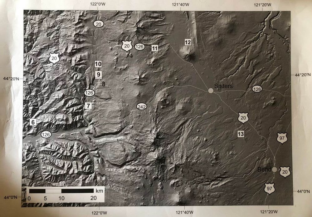
Location map of the north faults in the Mount Hood Fault Zone. Lidar-mapped fault features shown in color, black rectangles show locations of other figures in this paper, and heavy black lines are bedrock faults from recent geologic mapping by McClaughry and others (2012).
Sources: ESRI, HERE, DeLorme, USGS, Intermap, INCREMENT P, NRCan, Esri Japan, METI, Esri China (Hong Kong), Esri Korea, Esri (Thailand), MapmyIndia, NGCC, © OpenStreetMap contributors, and the GIS User Community. Compilation from DOGAMI paper “The Mount Hood Fault Zone—Late Quaternary and Holocene Fault Features Newly Mapped with High Resolution Lidar Imagery,” by Ian P. Madin, Ashley R. Streig, William J. Burns, and Lina Ma.
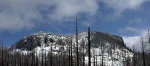
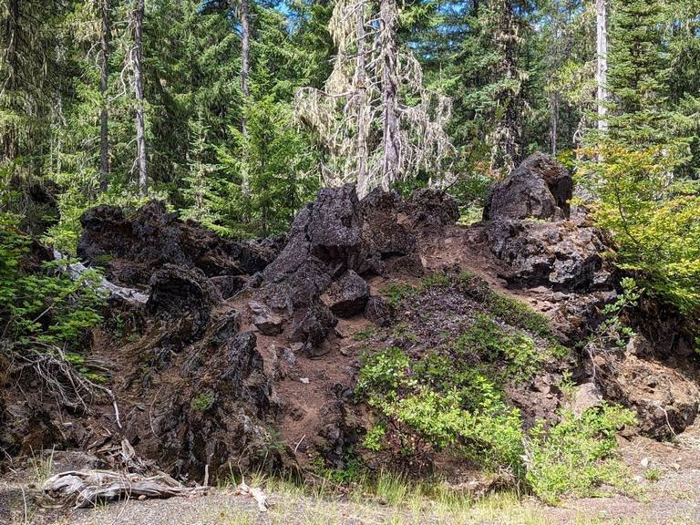
The first area of faults described by Madin are located in the Mt. Hood area, and are referred to as the Mt. Hood Fault Zone. These faults run north to south and are normal faults. Two of the faults, Multorpor Mountain Fault and Twin Lakes Fault, define two sides of a graben that is 10 miles long. They cut through glacial deposits and landslides.
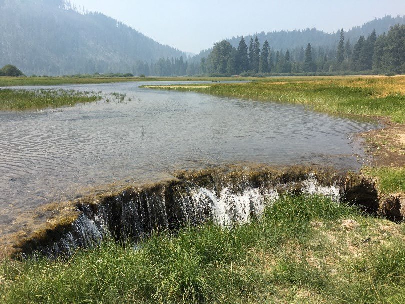
Twin Lakes fault is very well known to the researchers because it has good access from Hwy 35. One section of the fault has a beautiful scarp that is right on the cusp of White River Canyon. In another location the fault produced a wetlands by blocking a stream about 3500 years ago. Yet another area of the fault contains a E-W stepover from one surface expression to a slightly offset one. Frog Lake is also dammed by the fault. Slippage on the fault is moving fast enough to keep Frog Lake dammed.
Madin and company trenched through the Blue Ridge Fault on the northern slopes of Mt. Hood, which was more difficult to spot on the LiDAR images due to some very busy terrain. The trench revealed various soil types in a sequence in the area. At the fault, there is a funnel shaped area where the fault opened and material fell in and filled up the crack.
Madin also analyzed the potential earthquake hazards represented by the faults. These calculations are based upon the length of rupture and the amount of slip. He calculated that earthquakes between M6.4 and M7.4 could be generated depending on how many of the faults rupture at the same time.
The second active fault zone identified by DOGAMI is the White Branch Fault Zone, which Madin described as being located south of the moraines of the Suttle Range near Sims Butte, in the North Sister area. A pair of north-south trending faults describe the boundaries of a graben, or down-dropped block, that is 5 miles wide and 15 miles long. An interesting effect of on of the faults is to dam a stream (Boulder Creek). There has been a movement of up to 40 feet on the faults in the last 20,000 years. This amount of slip may produce an earthquake strong enough to do damage in Sisters.
Location map of the south faults in the Mount Hood Fault Zone. Lidar-mapped fault features shown in color, black rectangles show locations of other figures in this paper, and heavy black lines are bedrock faults from recent geologic mapping by McClaughry and others (2012).
Sources: ESRI, HERE, DeLorme, USGS, Intermap, INCREMENT P, NRCan, Esri Japan, METI, Esri China (Hong Kong), Esri Korea, Esri (Thailand), MapmyIndia, NGCC, © OpenStreetMap contributors, and the GIS User Community. Compilation from DOGAMI paper “The Mount Hood Fault Zone—Late Quaternary and Holocene Fault Features Newly Mapped with High Resolution Lidar Imagery,” by Ian P. Madin, Ashley R. Streig, William J. Burns, and Lina Ma.
The last group of active faults reported by Madin are in the Strawberry Mountain Range by John Day. These faults contain the youngest feature Madin has seen in Oregon. He cannot wait for the snow to melt so a DOGAMI team can go out there and inspect them. The fault zone contains a 3 mile and a 5-1/2 mile segment that are continuous up and over ridges and other features in steep terrain. They cut through modern alluvium.
Madin reported that in addition to these fault zones, faults have been recognized in several places and will be seen on future DOGAMI publications. Eventually their analysis will be added to future earthquake hazard maps.


Field Trip Director
Annual Newsletter Editor
fieldtrips@gsoc.org