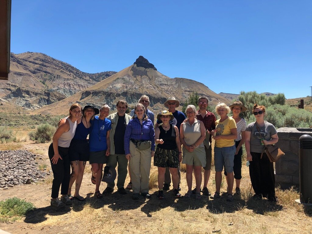
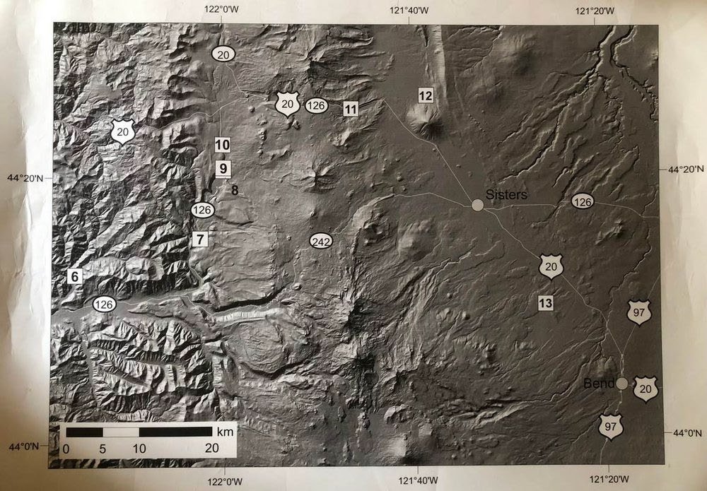
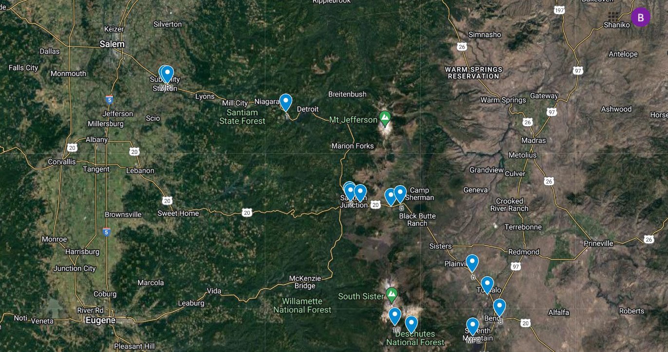
Eastern Oregon Volcanics Trip Remembered
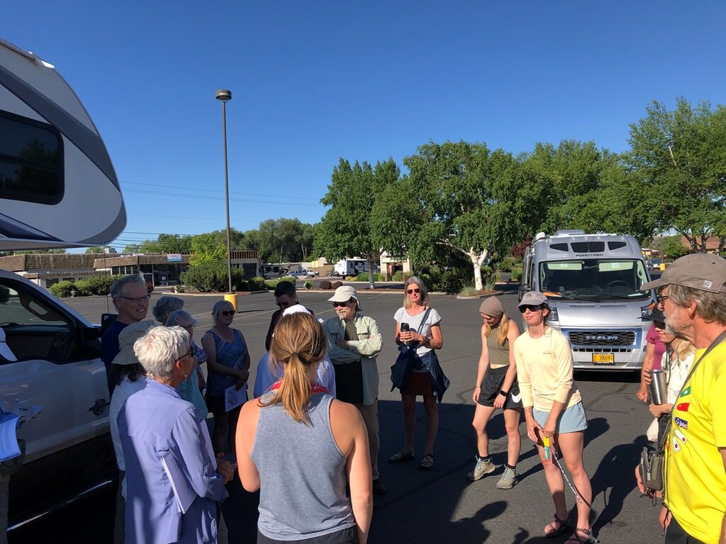
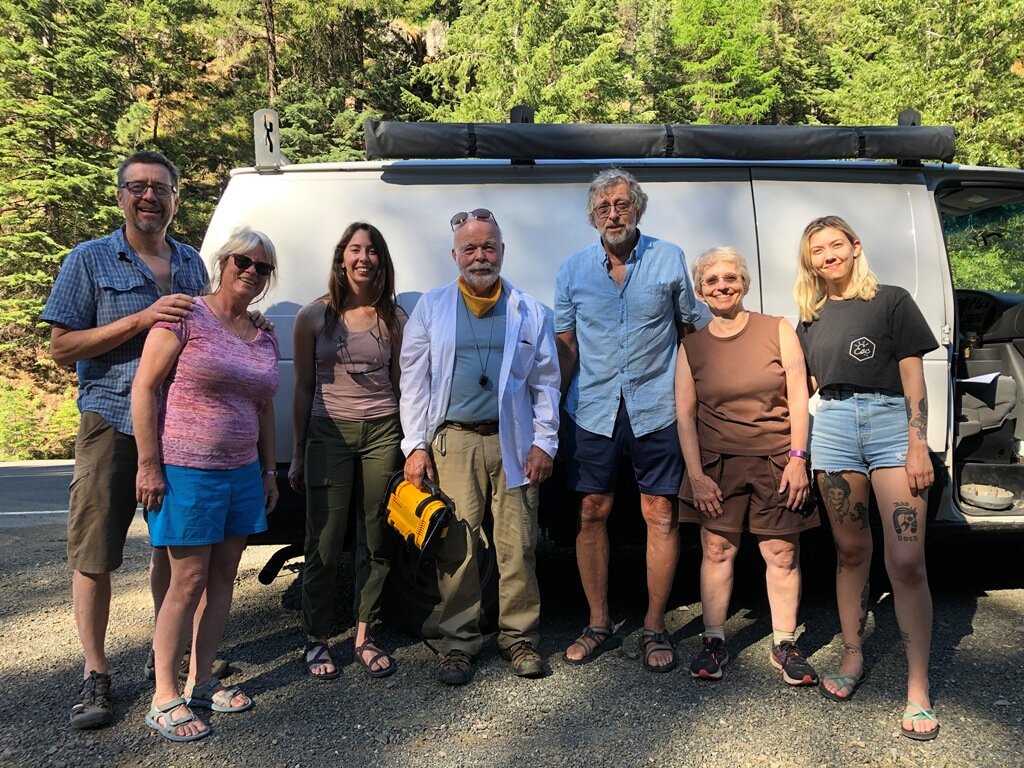
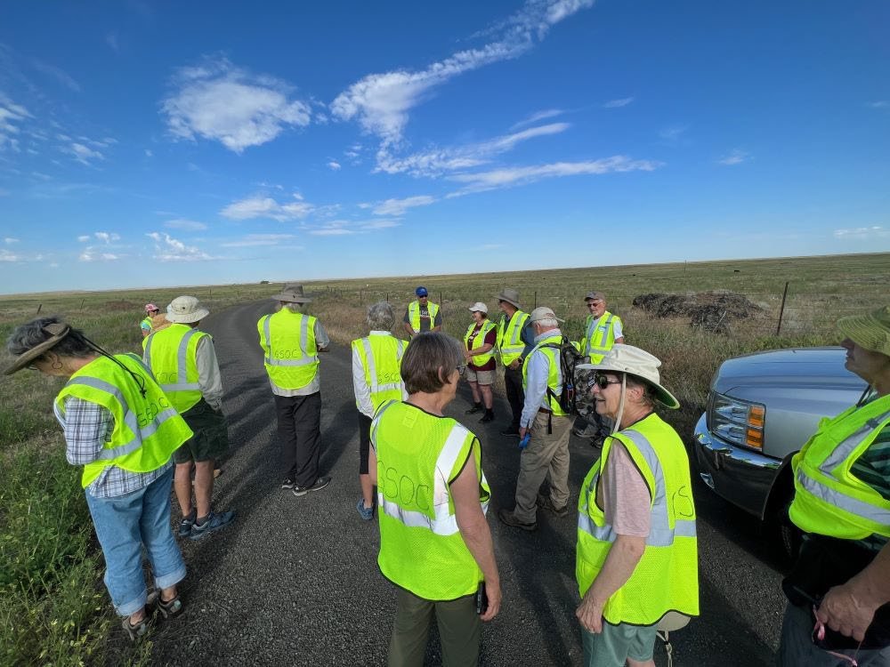
/With forecasts in the Willamette Valley due to surpass 115 degrees, suddenly a four-day geology field trip in traditionally hot Central Oregon seemed to be a very cool place to visit indeed! So, off to the (relatively) cool hills and mountains surrounding Prineville and John Day did 25 geologists and geologist-wanna-be’s travel. Led deftly by three intrepid women: Carol Hasenberg (primary trip organizer), Carrie Gordon (Day 1 & Day 4 Geologist) and Emily Cahoon (Day 2, 3, & 4 Geologist), the group caravanned in up to 14-vehicles to incredibly important and fascinating geologic formations that only friends-of-rocks and aficionados-of-prevailing-geologic theory would appreciate!
Trip Report: Jun 25-28, 2021 written by Bill Burgel and Emily Cahoon and edited by Carol Hasenberg

Mima-Mounds along US-197 just southeast of Maupin. – photo by Bill Burgel
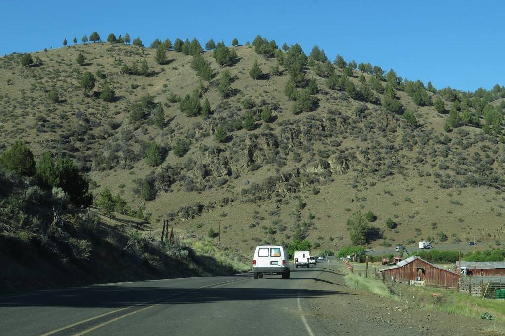
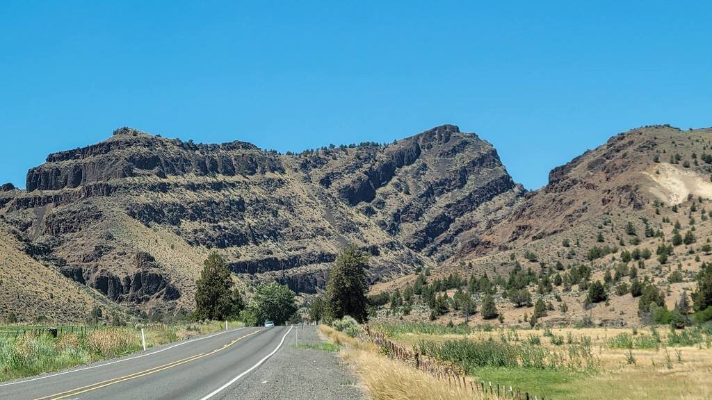
Several folks journeyed to the Prineville area the day before our planned rendezvous at the Peter Skene Ogden overlook mid-day on Friday June25th. We were rerouted Thursday evening through Maupin and were treated to a sunset that illuminated thousands of Mima-Mounds on the highway between Maupin and Madras.
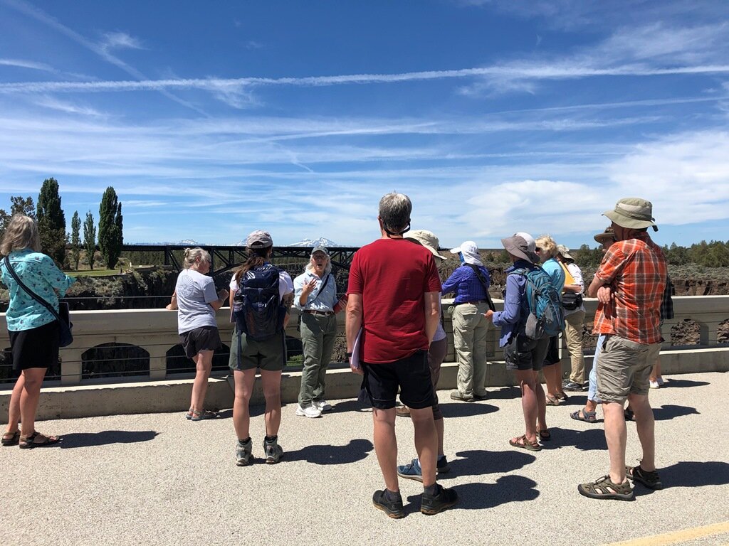
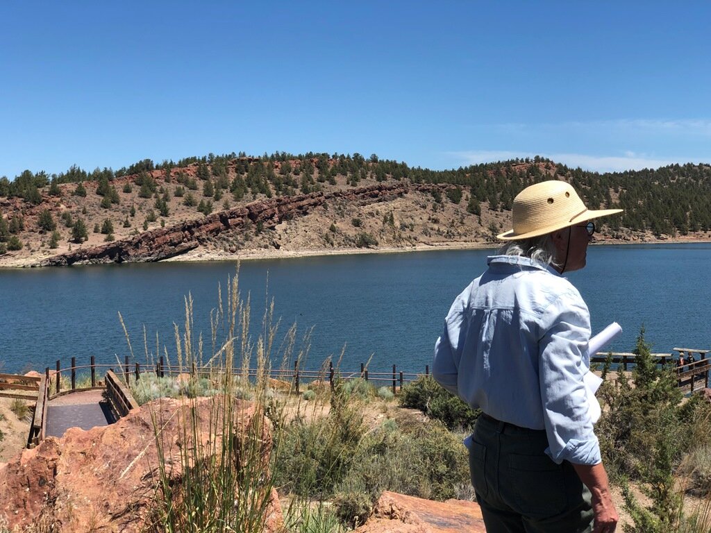
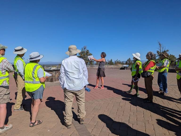
Carrie lead off our Eastern Oregon Volcanics tour with a discussion of our Friday’s itinerary which included a visit to Haystack and Prineville Reservoirs, located on or near ring fractures that marked the northern and southern edges of the Crooked River Caldera respectively. Carrie described recent geologic findings that included descriptions of geothermal deposits on the flanks of Smith Rock, the nearby Wildcat Mountain and Tower Mountain Calderas, groundwater issues within the Crooked River Caldera and the extent of recent lava flows (including the Prineville and Newberry Flows) that covered the Crooked River Valley.
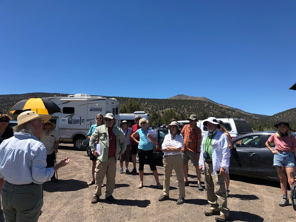
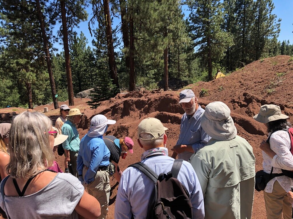
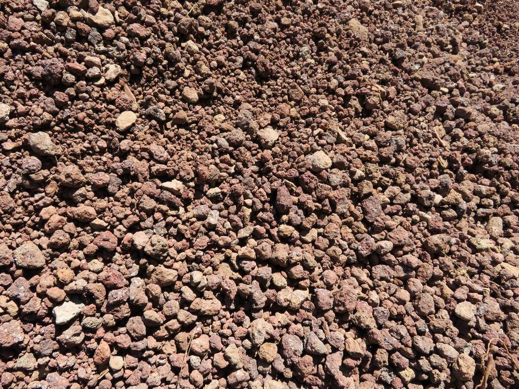
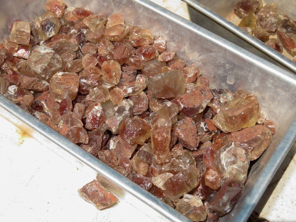
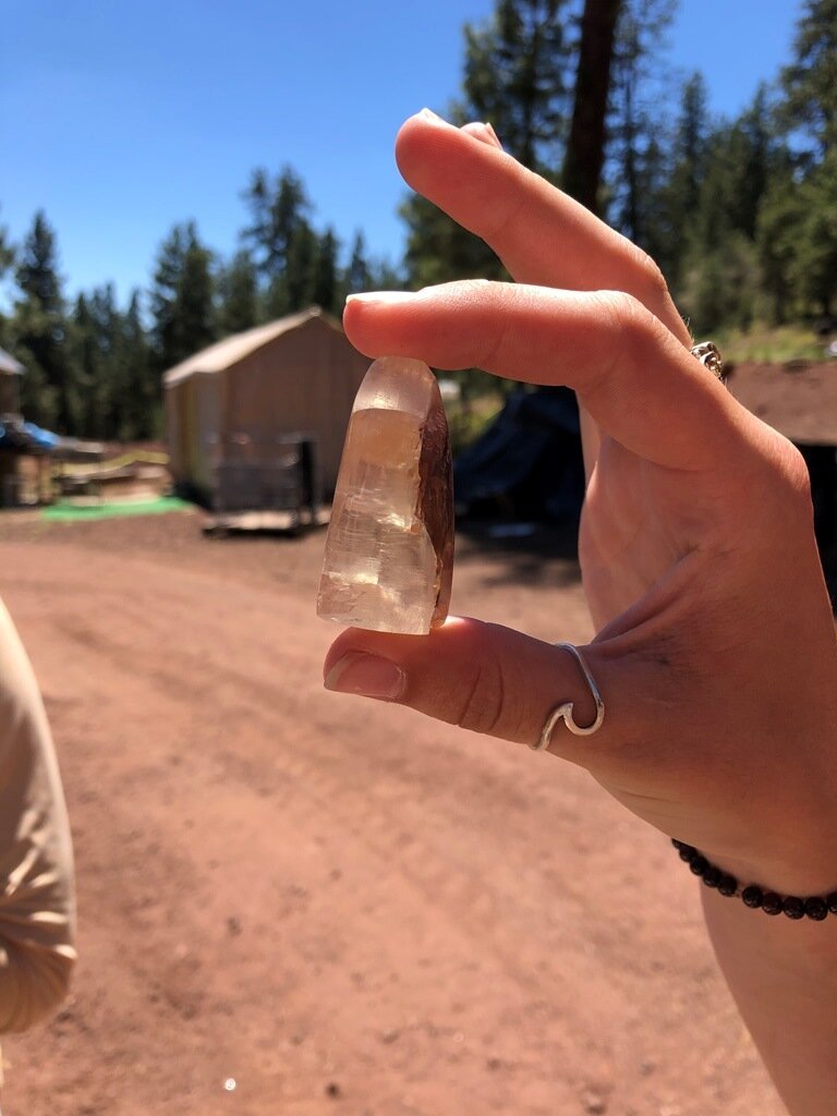
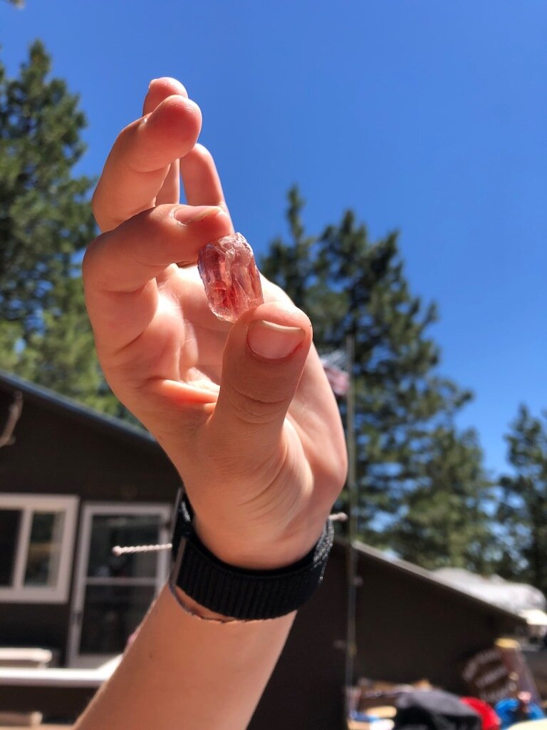
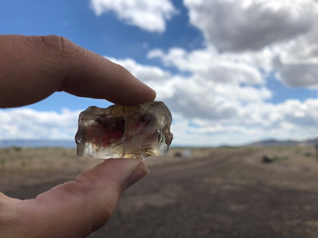
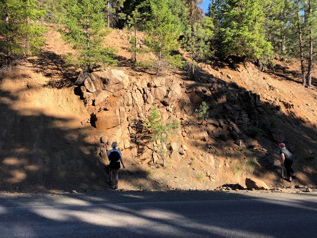
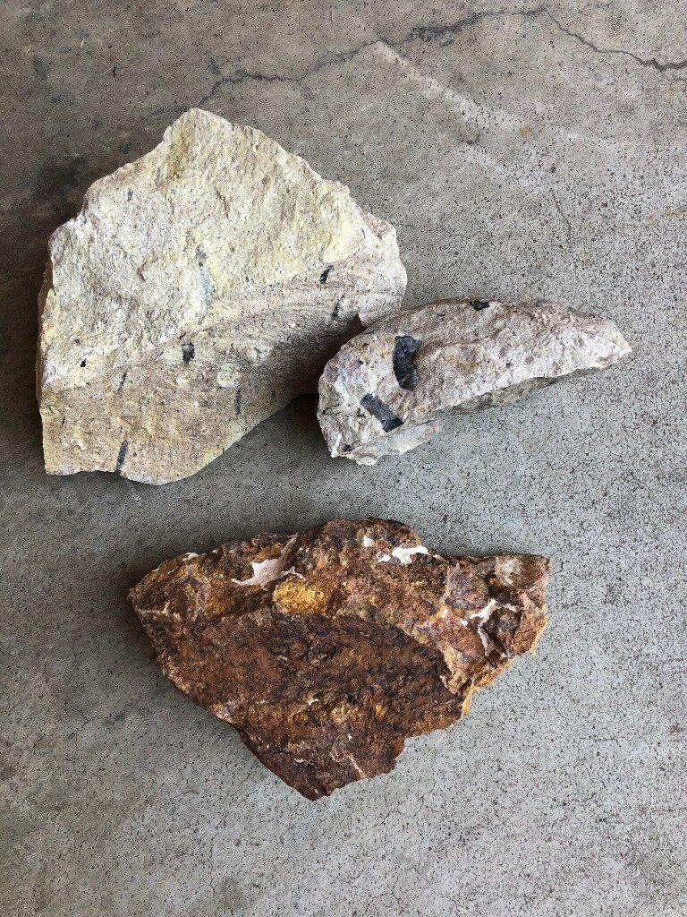
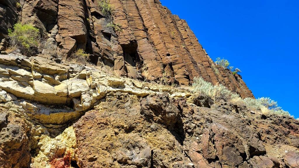
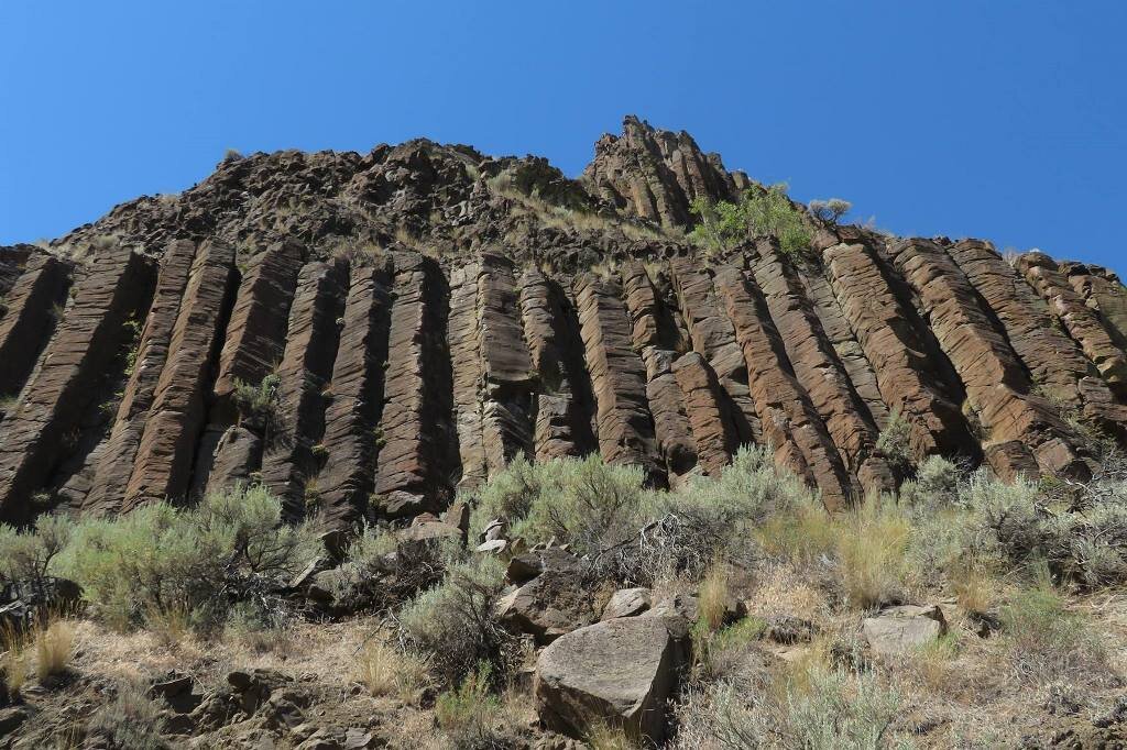
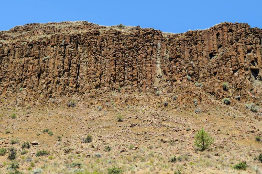
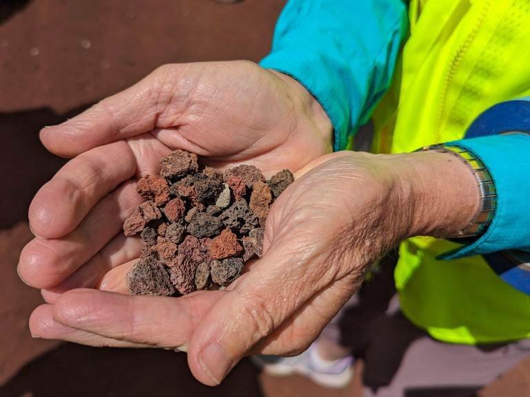
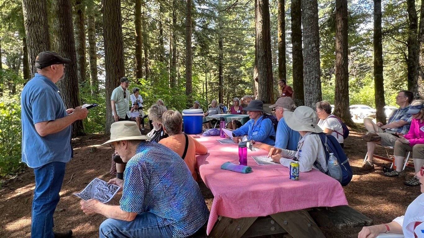
We started early on Saturday in an attempt to avoid the forecasted temperatures of 106 degrees. Emily Cahoon led off Saturday’s tour with a description of the Picture Gorge Basalt (PGB), a member of the Columbia River Basalt Group that erupted between 16.06- to 17.23 Ma., as determined by the dating done in Emily’s PhD. research. With an eruptive time that bracketed the flows of the massive Grand Ronde member of the Columbia River Basalt Group, the smaller Picture Gorge basalt is chemically more representative of the magma chamber “clearing its throat” than that of the purer, deeply seated plume mantle signature of the Grand Ronde. Lavas of the PGB are also significant because they contain Oregon’s state gemstone, known as sunstones! Sunstones are gem-quality plagioclase crystals that contain macroscopic inclusions of copper, and they crop up in two locations in Oregon.
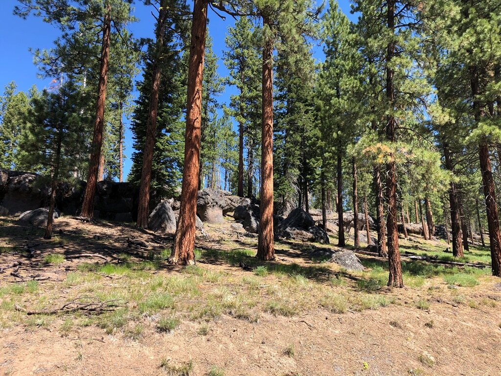
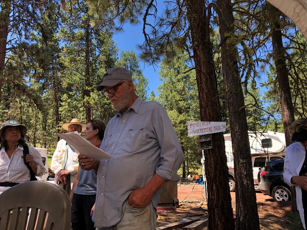
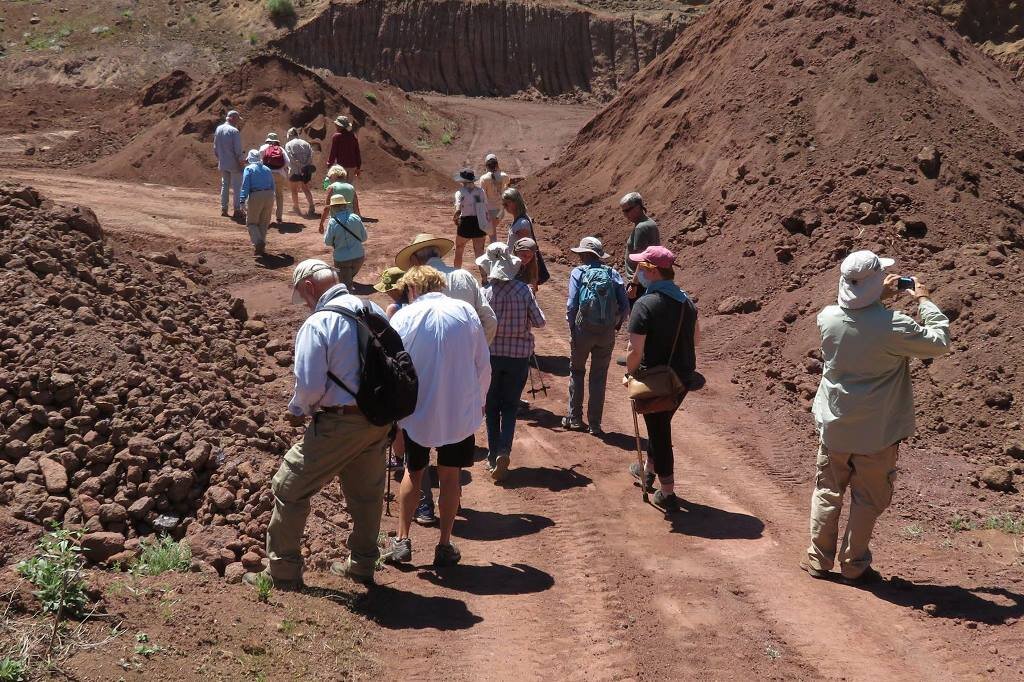
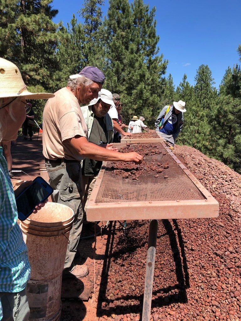
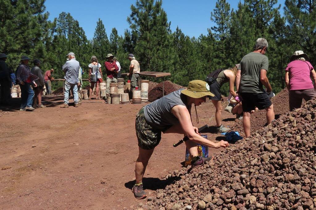
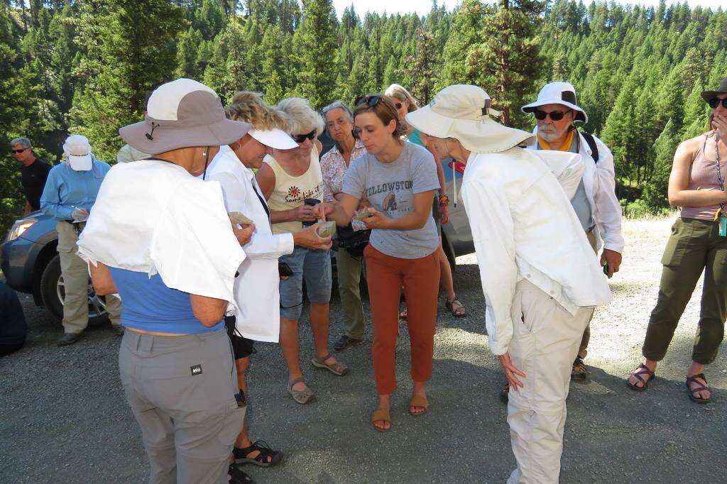
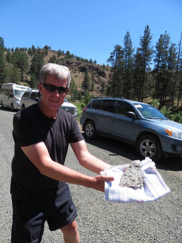
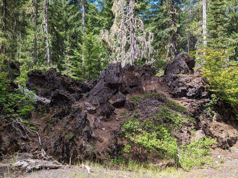
After a drive of a couple of hours, we stopped at Delintment Lake in Ochoco National Forest, and listened to Emily describe the boulders of Picture Gorge Basalt that surrounded us. After leaving this lovely spot, our group was treated to a fabulous lunch hosted by the Ponderosa Sunstone Mine, followed by tour of the mine and its facilities. Bruce Moore, one of the mine’s co-owners, was indeed generous and we were able to walk into the excavation of the weathered PGB outcrop from which the sunstones emerge. He also toured us through the process of sorting the large pieces from the powder, and the sorting of the gem quality pieces from the matrix and lower quality plagioclase crystals. We got to examine several trayfuls of the gem pieces, and Carol and helpers picked out quite a few crystals from the tailings pile for the name cards at next year’s Annual Banquet (we’re going to have one we hope!).

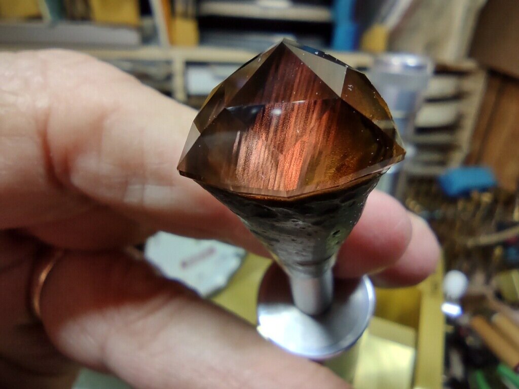
Sunstones uncovered in the PGB turn into exciting gemstones when faceted or carved – photo by Emily Cahoon
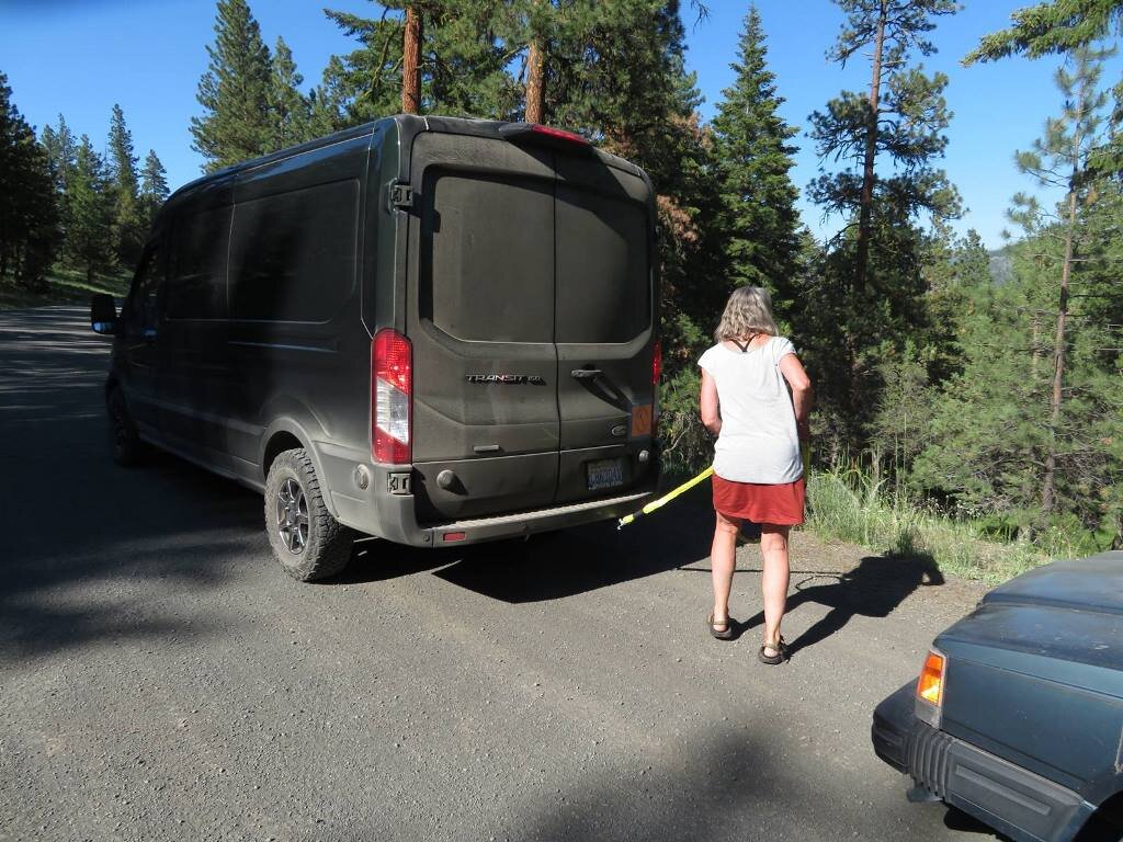
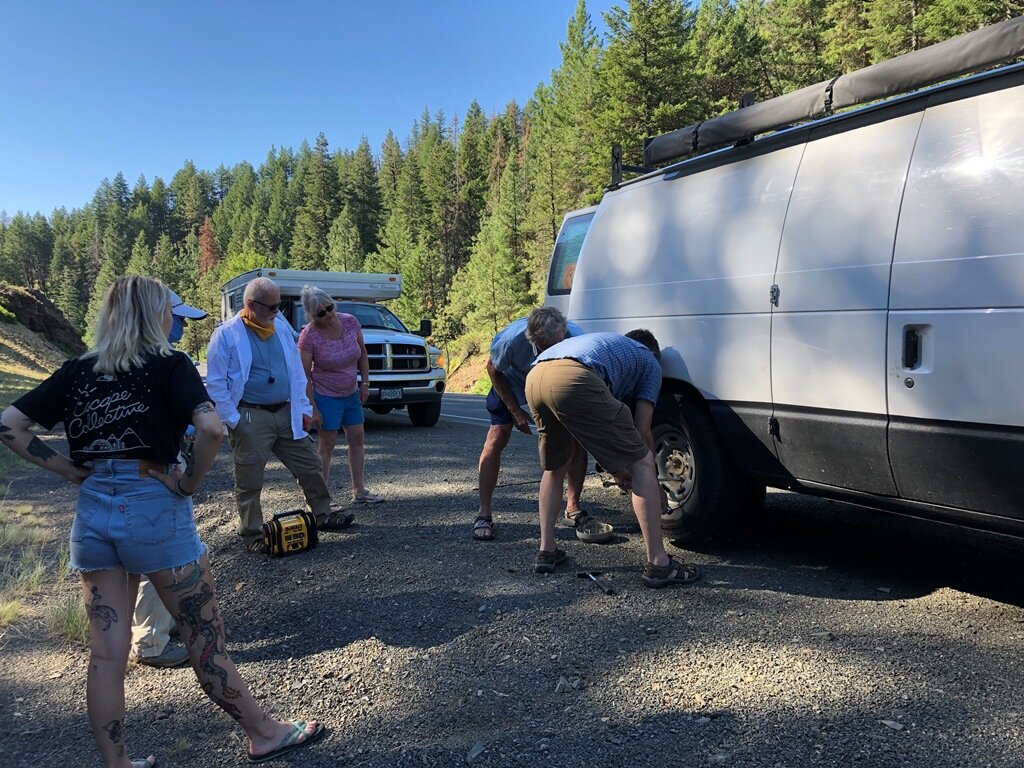
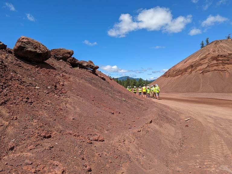
After the sunstone mine, our journey to view several dikes within the Picture Gorge was “highlighted” by a transportation SNAFU: One of the vehicles in the caravan suddenly experienced a “vapor lock” that necessitated that the fuel tank of the distressed vehicle cools to so as to “unlock” its fuel flow. In English, the darned thing refused to go up the hill. However, foresight, dumb luck, and great teamwork saved the day! Carol Hasenberg pulled out a towing cable with which her husband John had thoughtfully equipped her car, and Kevin Brown and Nancy Collins quickly hitched their van to the disabled vehicle to tow it to a nearby hill to allow the vehicle to coast down the hill thereby cooling the fuel tank. These efforts were highly successful as we all made it into the town of John Day just before the brew pub closed for the night!
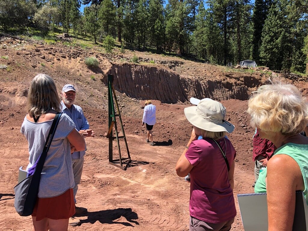
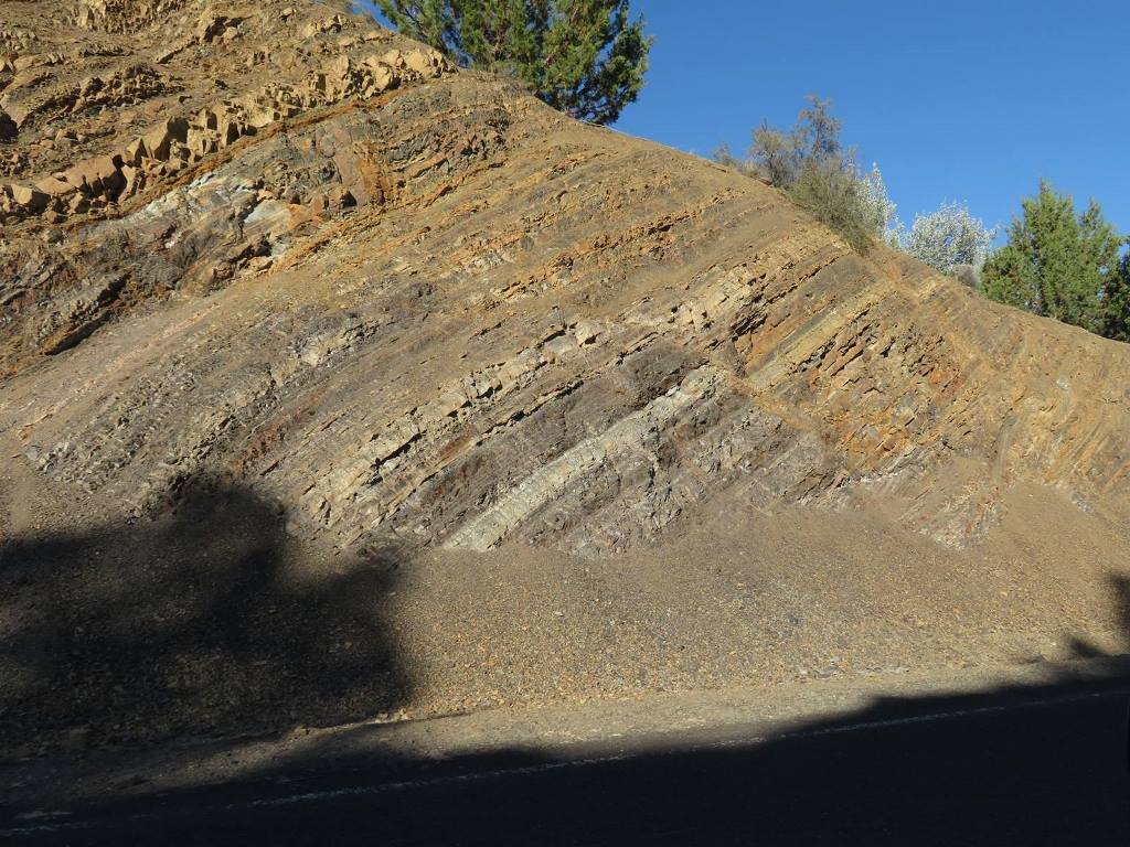
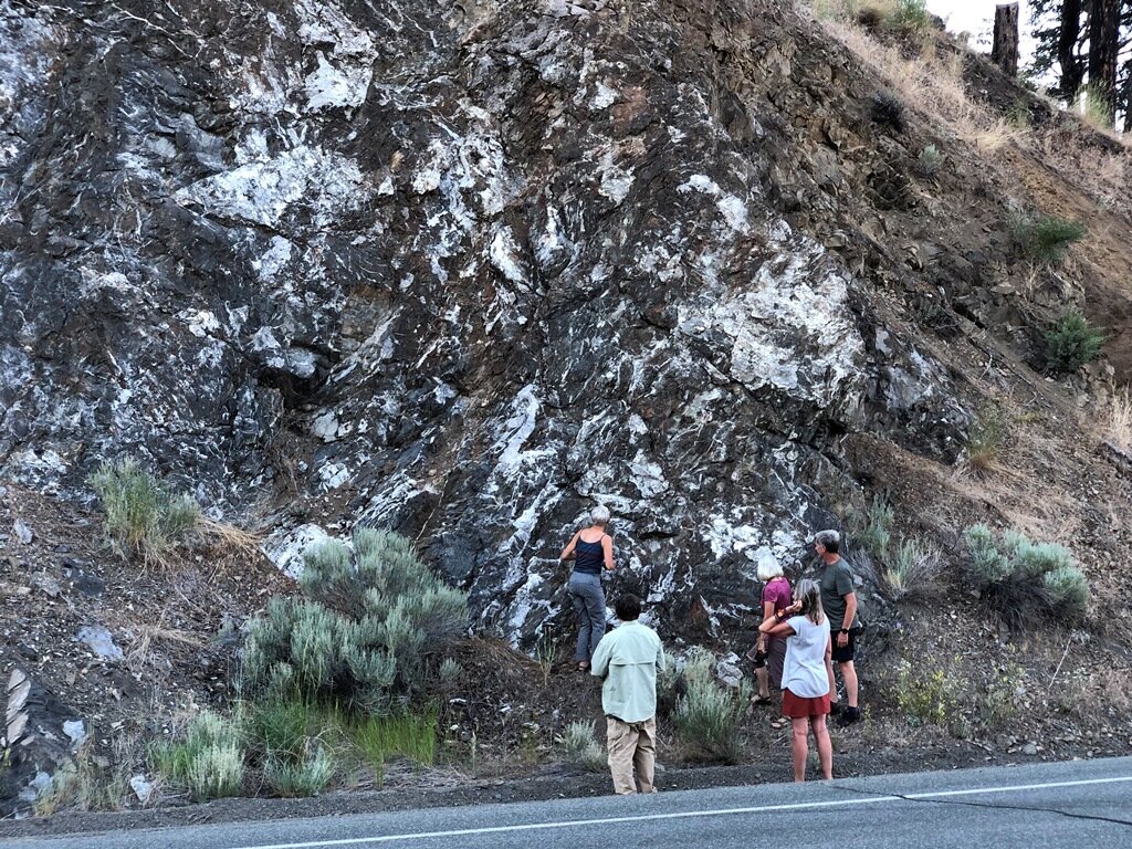
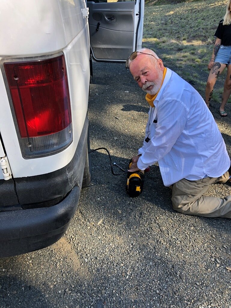
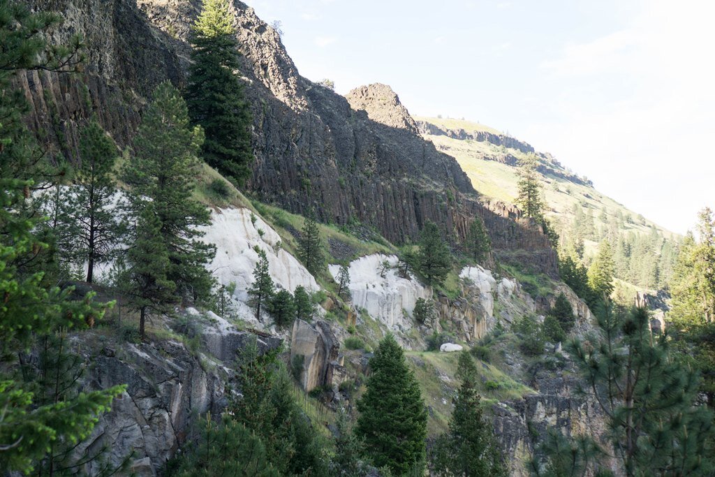
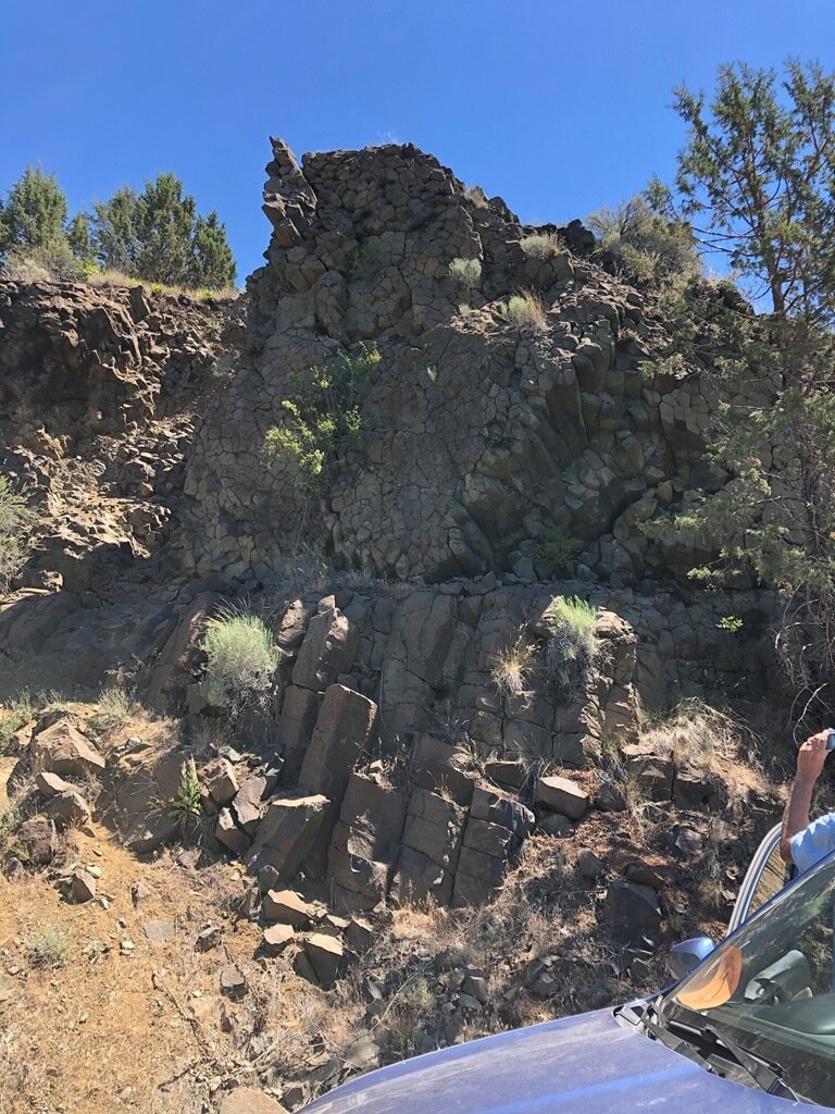
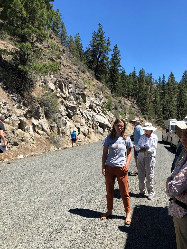
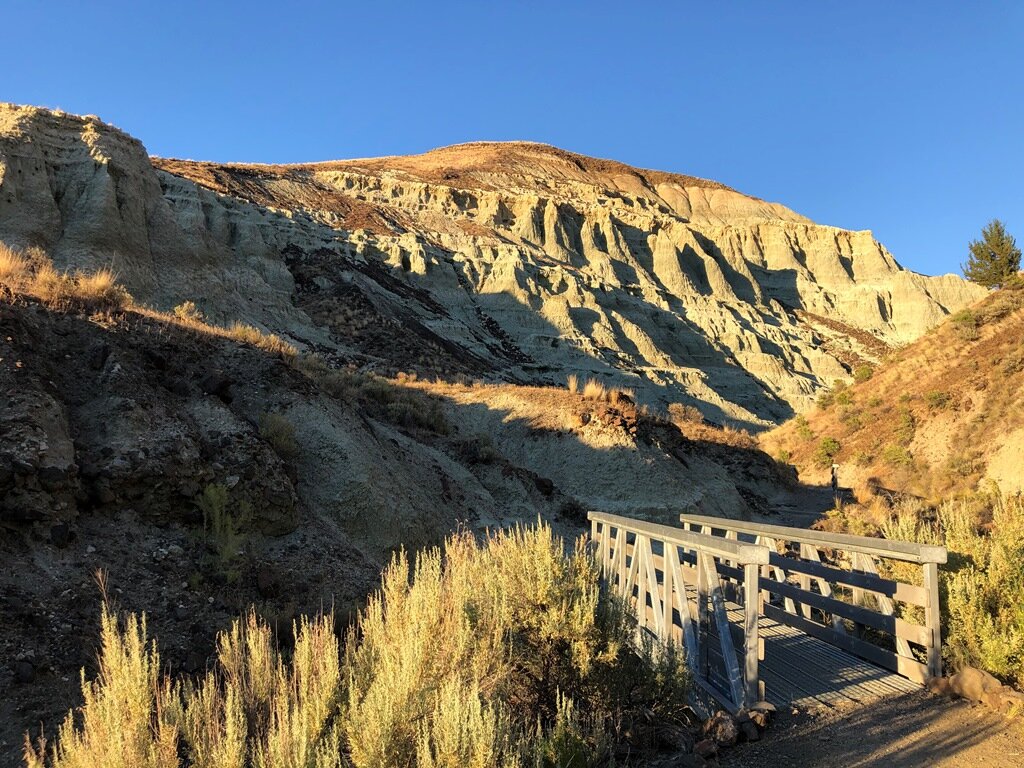
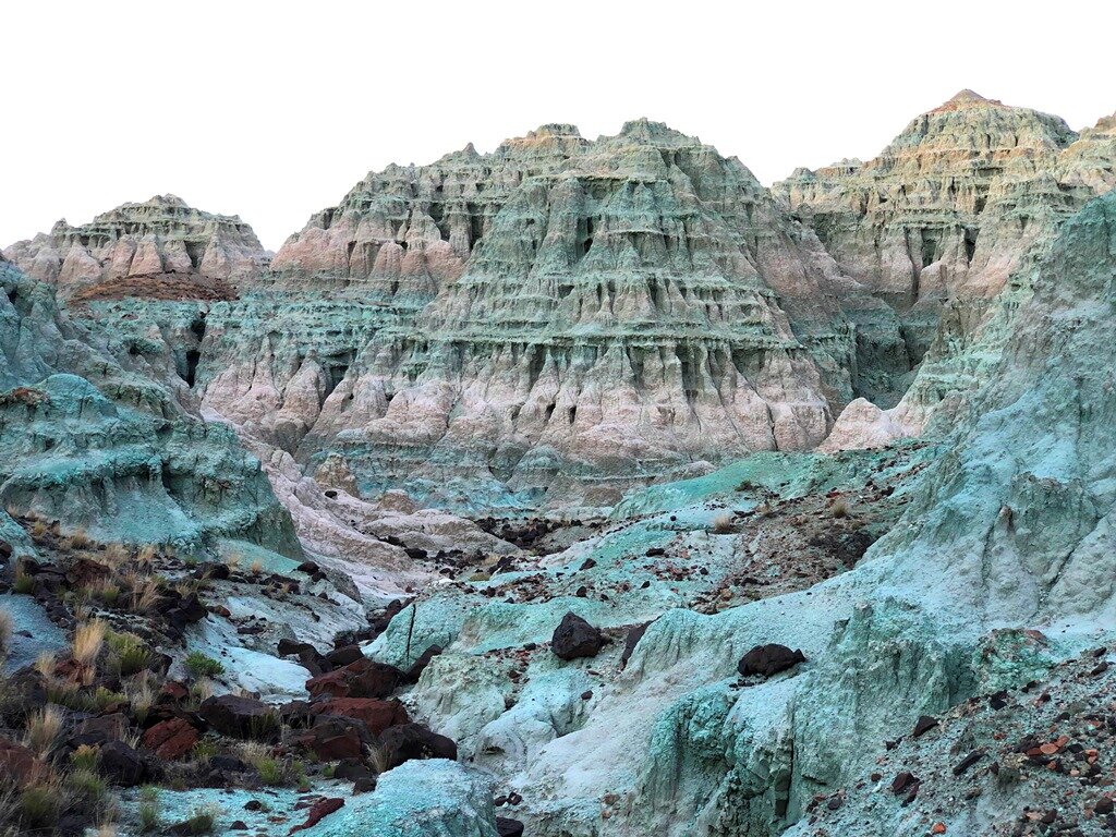
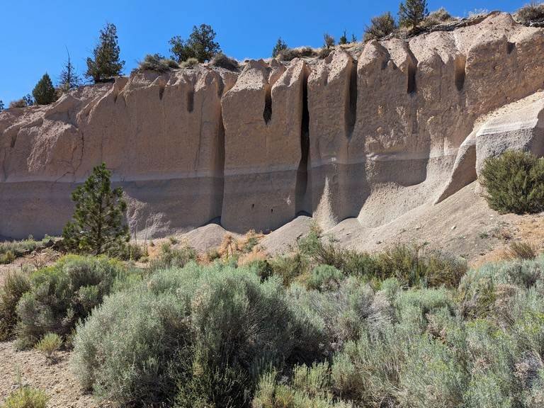
Another hot day loomed on Sunday morning. With each attendee seeking out pockets of shade, we listened to Emily recap our Saturday tour then described our itinerary for Sunday. Our destination via a 2- hour drive along the North Fork of the John Day River was to an outcrop that spectacularly exposed the unconformity between the 33 Ma old Tuff of Dale that originated in the Tower Mountain Volcanic Field and the overlying 17.02 Ma Picture Gorge Basalt. On the way over we had a 20 minute stop to change a flat tire on one of the vehicles. This was facilitated by our (by now) experienced pit crew and a portable compressor that Dennis Chamberlin had conveniently packed. We then proceeded to the “contact” stop, which provided an opportunity to observe different degrees of welding in a single volcanic tuff, a volcanic ash deposit containing a high percentage of silica. Welding occurs due to overlying pressure while the tuff is still hot, resulting in highly variable appearances!

Unconformity between the Tuff of Dale and the overlying PGB – photo by Emily Cahoon
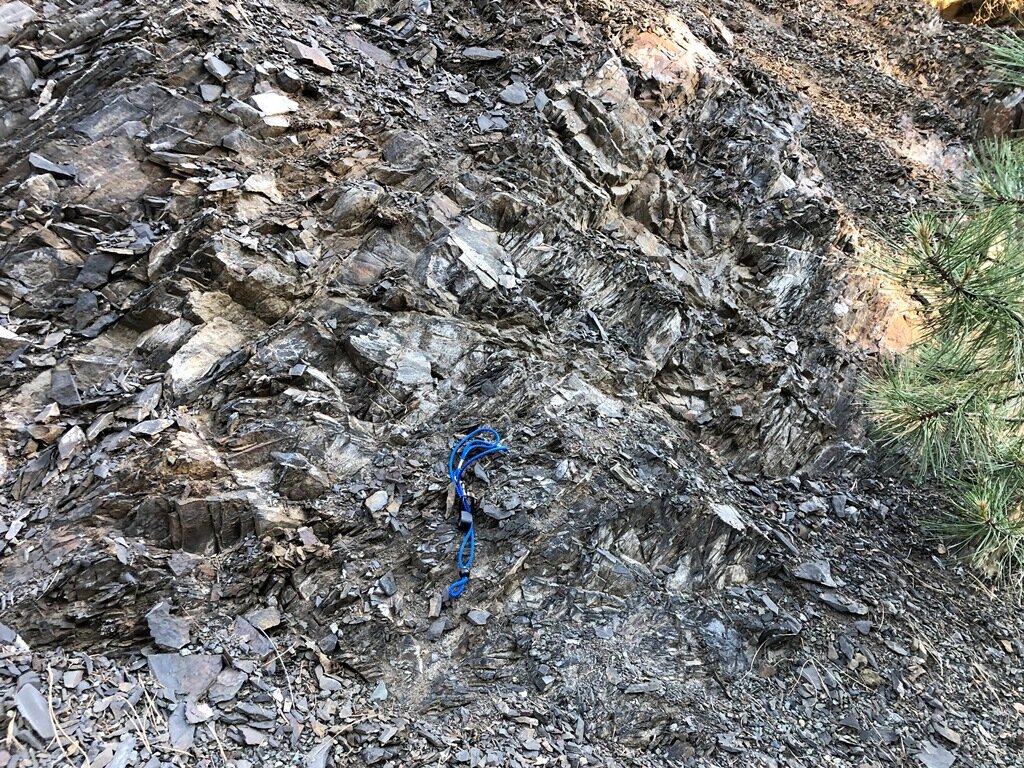
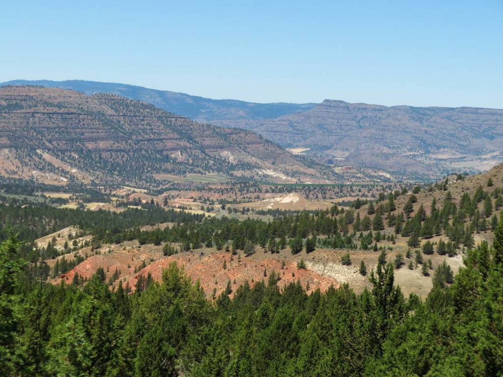
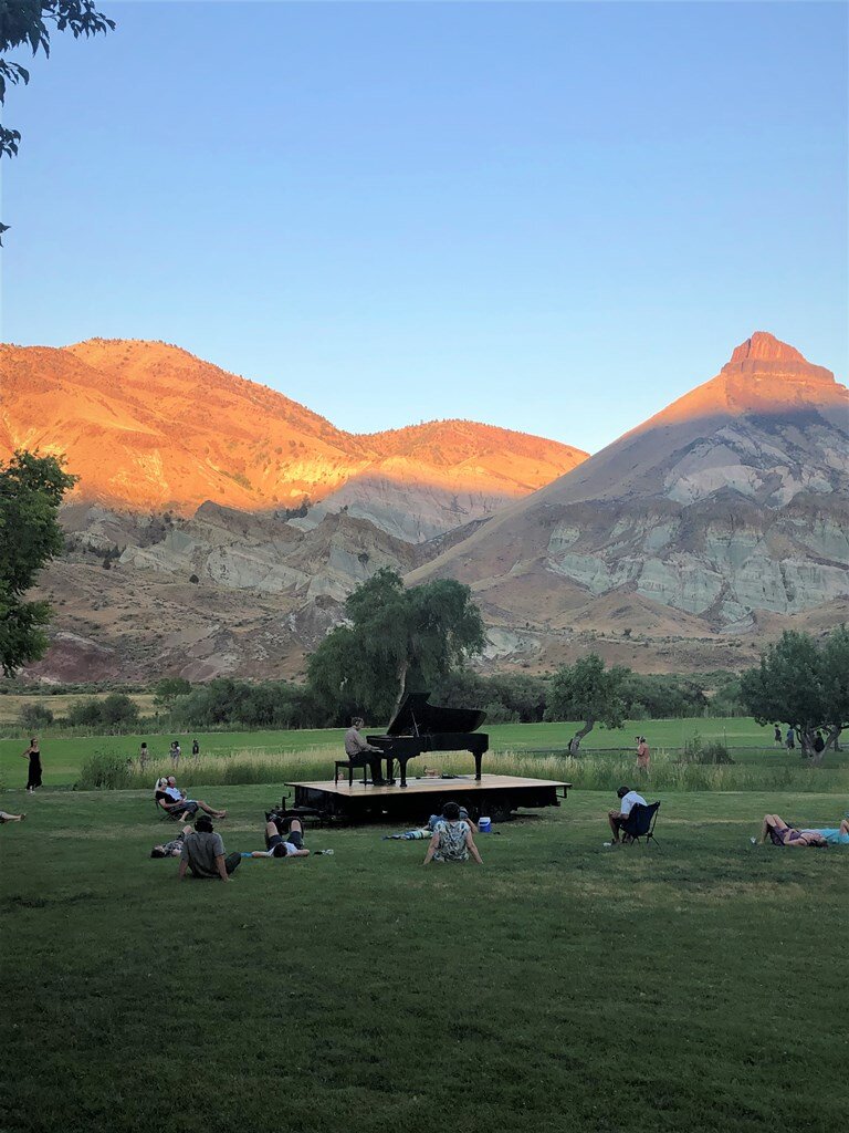
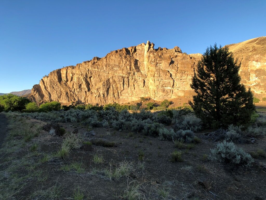
We then retraced our path to the Middle Fork of the John Day River to view a “stitching pluton” of tonalite, an intrusive igneous rock, that was generated as the Baker terrane accreted to the North American coastline in the Cretaceous. Next, we made our way to Monument and traveled down the North Fork of the John Day River. All along this road we could see basalt dikes of the Monument Dike Swarm, the feeders of the Picture Gorge Basalt, crowning the hills above the road. We stopped at Big Bend Campground and cooled off in the river. The heat took its toll as we visited our last site for the day at the Mascall Formation overlook. Attendees then scattered to various places to cool down. Several folks zipped off to the Cant Ranch to hear Hunter Noack of ‘In A Landscape’ play his piano under the setting sun at Sheep Rock. Unfortunately, earlier in the evening, Carrie Gordon was admitted to the John Day Hospital’s emergency room with heat exhaustion. Thankfully, she soon recovered and rejoined our group the following day.
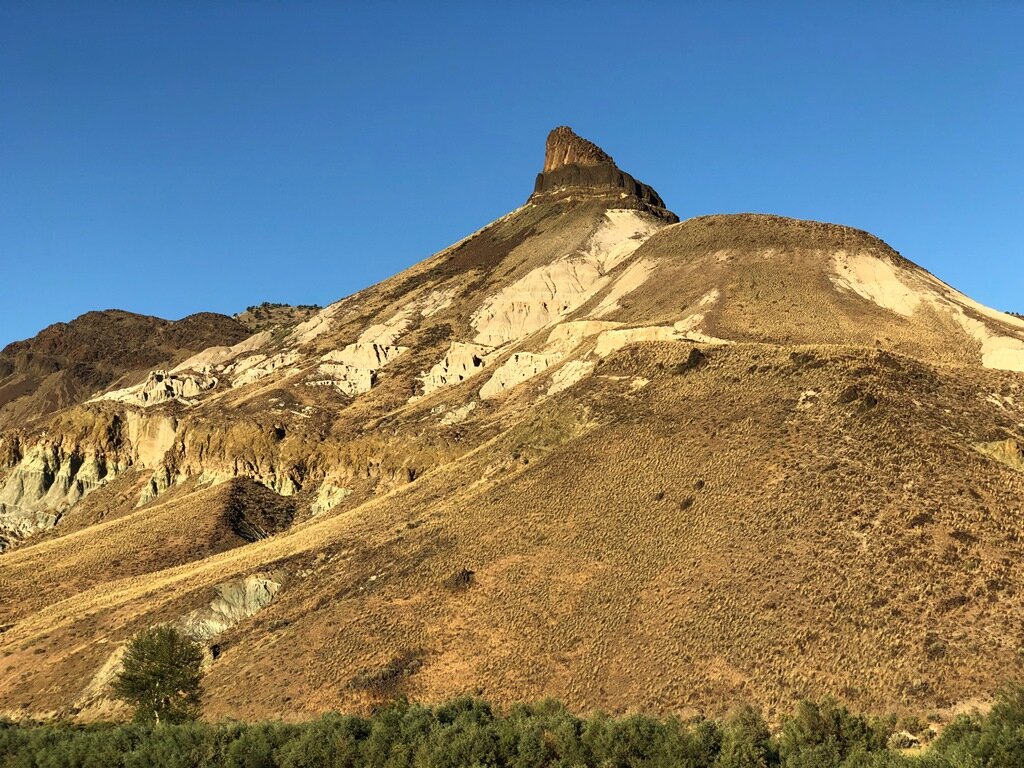
Monday was our last day, and the hottest day – so some attendees departed early. Consequently, we held an informal “appreciation” ceremony at the Grant County Fair parking lot. We then traveled to the John Day Fossil Beds to hear Emily and Carrie one last time before we scooted back to Portland to experience its 116 degree record heat!
Enjoy the slideshow of the Eastern Oregon Volcanics Field Trip! Photos courtesy of Emily, Bill and Carol