The Coaledo Project Revisits the Formation of the South Central Oregon Coast
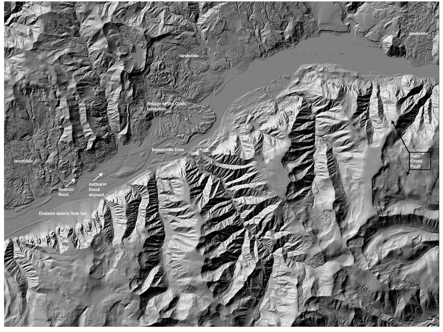
/Dr. John Armentrout ‘in situ’ in the Coaledo area
Synopsis of the GSOC Friday night lecture given on June 8, 2019, with speaker Dr. John Armentrout
By Carol Hasenberg
John Armentrout is a native Oregonian who got his geology degrees and went away to work in the oil patch for Mobil Oil. He’s now ‘retired’ and back living in Oregon. As he looks back to the beginning of his career as a geologist, he is proud of his introduction to geology at age 12 in 1954 at Camp Hancock. He went on to become a counselor at the camp, then director at age 26. Fourteen of the campers under his directorship went on to become geoscientists.
Armentrout then shifted to his main topic which is the Coaledo project. To get the audience on the right foot he made sure we could pronounce it as Coal-EE-doe. The Coaledo project is a team effort which includes several working and recently retired geologists in a multidisciplinary team to revisit the geology of the Coos Bay area of Oregon. The 18 researchers involved in the project include specialists in geologic structure and stratigraphy, tectonics and paleomagnetics, sedimentology, and paleontology. The team will be updating tectonic and depositional history of the area to improve understanding at both the local and global levels of interest.
The study area will cover the Cape Arago peninsula, from the mouth of Coos Bay to Sacchi Beach. This is an area exhibiting areas folded by compression. The South Slough, which starts at Charleston and defines the peninsula, is the center of a syncline, or basin-shaped fold. Offshore parallel to the syncline is an anticline, or arched fold. The researchers are fortunate to have a great suite of outcrops along the coastline in the area as well as the data from Coos Bay coal basin studies done by geologist Al Niem and others.
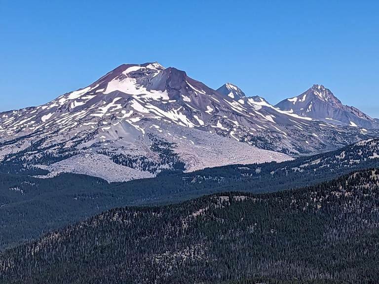
Armentrout went on to discuss the details of the project area by referencing a paper by Ray Wells and others on the tectonics of the Siletzia terrane, a seamount plateau similar to the Hawaiian Islands that docked on the Oregon coast 51 million years ago. This process is the environment which created the oceanic basin in which the sediments were deposited, then uplifted and compressed them into the positions they occupy today. Most of the sediments were deposited in the Eocene epoch.
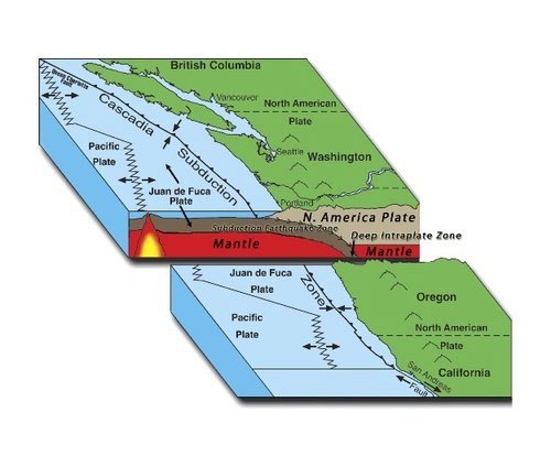
The basin folded and sagged, and then uplifted and eroded multiple times. As the basin folded it created accommodation space that could gather ever more sediments. Then at the end of the Eocene, there were tectonic processes happening that changed the environment so that there were less sediments accumulating in the basin. The Klamath Mountains began to be pushed northward by the Pacific Plate as the San Andreas fault developed. The accretion of the Siletz island plateau moved the Oregon shoreline from Mitchell to the west of the plateau and with it the subduction zone for the Farallon Plate shifted to the west. The oceanic basin which had gathered the sediments was uplifted and began to erode. In the Coos Bay area, 40% of the last 50 million years are not represented in the stratigraphy. The pushing from the Pacific Plate was met with resistance by the Canadian land mass. In response, the Oregon landscape began to rotate clockwise to accommodate the stress.

Image description: Fault directions reveal stress patterns through time in an area that includes Sunset Bay and Lighthouse Beach. Arrows marked 1 indicate deformation directions in the Eocene and Oligocene, 2 indicate Miocene directions, and 3 Pliocene directions. Source: John Armentrout and the Coaledo Project team.
As a result of this history of deformation, the South Slough syncline is also crisscrossed with faults. The current research includes not only attention to the location of the faults but studying the stress patterns and deformations which they represent.
Laird Thompson, a structural geology specialitst, is investigating the tectonic history from global to regional to outcrop scale, detailing the changing stress patterns as the orientation of subducting plates evolved along the Pacific Margin. One critical issue of this history is the clockwise rotation of the Coos Bay area as the western extension of the Basin and Range and northward ‘push’ of the San Andras fault system pushed western Oregon and Washington northward against British Columbia.
Several sedimentologists are on the team and an updated depositional model is in the works by team members Al Niem and Rebecca Dorsey. They have reference material from the 1986 Chan and Dott paper on the depositional environment and depositional cycles.
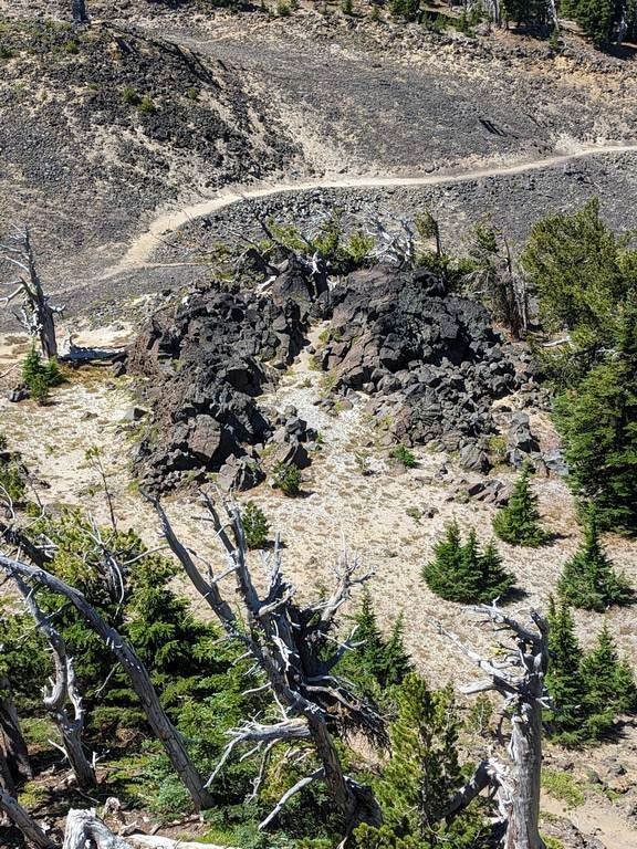
Some very interesting features along the coastline are the slope basin fan at Sacchi Beach, and a dozen channel sections to be found in the cliffs at the shoreline all down the peninsula. The latter features can be particularly found at South Cove of Cape Arago and south of Simpson Cove.
Another group of fascinating sedimentary features are the packages of stacked depositional sequences that exhibit “coarsening upward cycles.” Each of these represents about 100,000 years’ succession of deeper water mud to thin sand flows to storm-generated low hummocks to the beach, where most fossils are, and could only be deposited during the huge subsidence that occurred during the Eocene. They can be seen on the north side of Sunset Bay and elsewhere.

Image description: Coarsening upward cycles in the deposits in Sunset Bay. Source: John Armentrout and the Coaledo Project team.
The work of several paleontologists is being used in reviewing guide fossils for the Tyee and Coaledo strata. Kristin McDougall of the USGS is reevaluating a 1979 Ken Bird analysis of fossils in depositional zones with more detailed biofacies. Bruce Welton is working on shark teeth samples on Coaledo depth facies. Carole Hickman is working on mudstone mollusks. Fossil pollen and spores throughout the 4000-foot thickness of strata is being studied by a group from Louisiana.
The team is taking advantage of the data collected in the early days of tectonic geology and using modern techniques and analysis to reevaluate and refine the geologic history of the south-central Oregon coast. This will be an exciting advance in our knowledge of the area. And who knows, possibly the subject of a future GSOC field trip?

Image description: Depositional model for shelf-slope transport. A refinement of the model from Chan and Dott 1986. Source: John Armentrout and the Coaledo Project team.
Papers Referenced
Ray Wells, David Bukry, Richard Friedman, Doug Pyle, Robert Duncan, Peter Haeussler and Joe Wooden, “Geologic history of Siletzia, a large igneous province in the Oregon and Washington Coast Range: Correlation to the geomagnetic polarity time scale and implications for a long-lived Yellowstone hotspot,” Geosphere (2014) 10 (4): 692-719.
In-Chang Ryu, Alan R. Niem, and Wendy A. Niem, “Oil and Gas Potential of the Southern Tyee Basin, Southern Oregon Coast Range,” with a section on Structural And Stratigraphic Plays by Alan R. Niem, Ray E. Wells, and In-Chang Ryu and Plate 1, Interpreted North-South Seismic-Reflection Profile Across Tile Southern Tyee Basin, by Peter 0. Hales, In-Chang Ryu, and Alan R. Niem, DOGAMI OGI 19, 1996.
M. A. Chan, R. H. Dott, Jr., “Depositional Facies and Progradational Sequences in Eocene Wave-Dominated Deltaic Complexes, Southwestern Oregon,” AAPG Bulletin, April 1986.


Field Trip Director
Annual Newsletter Editor
fieldtrips@gsoc.org