A Memorable Trip to Malheur
/Trip Date: October 2-5, 2026
Trip Leader: Dave Sherrod, retired from USGS
Article by Carol Hasenberg
Photos by Carol Hasenberg
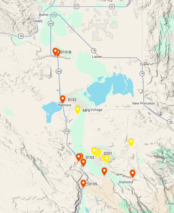
Here’s a map of the trip stops on a Google hillshade base. Day 1 stops are in red and Day 2 Stops are in yellow. Malheur Field Station is marked in yellow and labeled MFS.
This trip was organized by Malheur Field Station Executive Director Elizabeth Basa because she had a strong desire to bring back geology programs to the field station (MFS). Her tenure began in 2025 and she and her team have worked hard to make MFS a place where this incredible landscape can be studied and appreciated. GSOC board members were enthusiastic about a trip to the Malheur area and hoped that Basa could find a trip leader. After an intensive search, Elizabeth finally located retired USGS geologist David Sherrod, a well-known and widely published volcanic systems expert in both Oregon and Hawaii. Dr. Sherrod has had an ongoing interest in the Malheur area and proved to be the perfect guide to explore its volcanic features.
Dr. Sherrod met the GSOC trip participants at the field station before dinner on Friday, October 2, and discussed the logistics of the trip. The early October weather in the Malheur area was predicted to be hot and dry, and participants were urged to dress appropriately, bring water bottles, and get a good night’s sleep for the upcoming long day ahead.
Day 1 – The Stratigraphy of the Malheur Basin
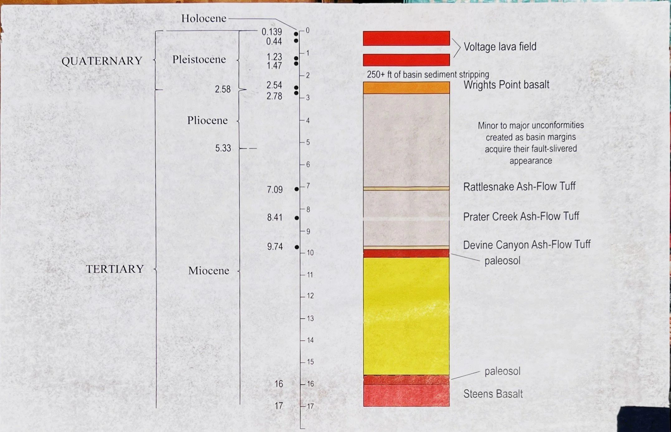
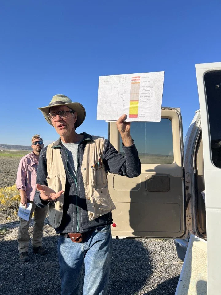
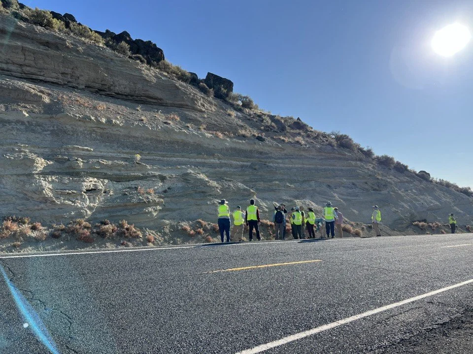
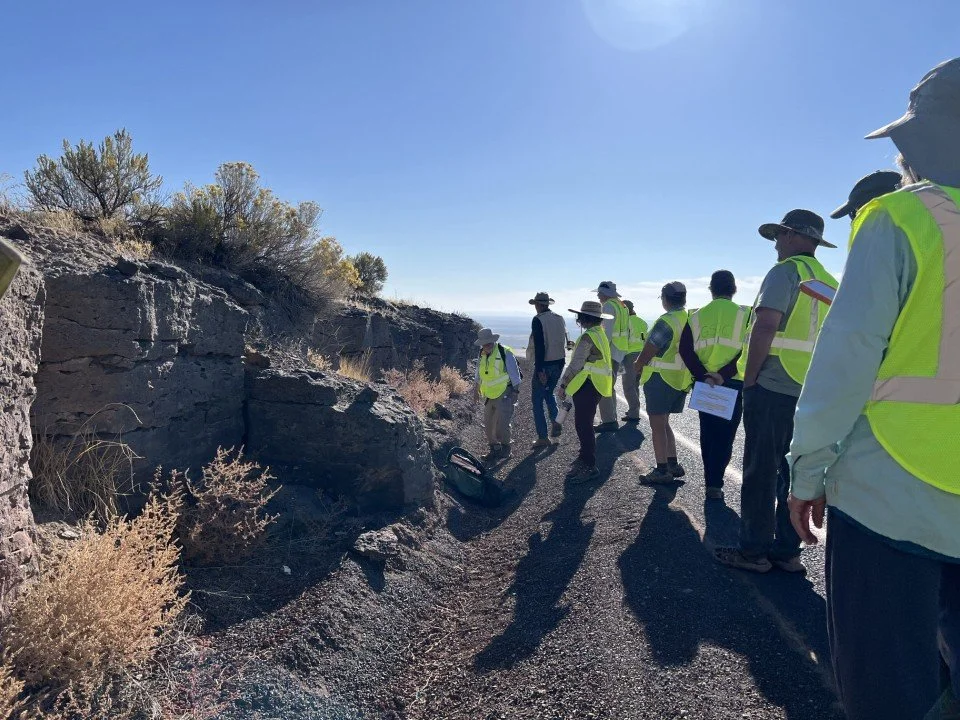
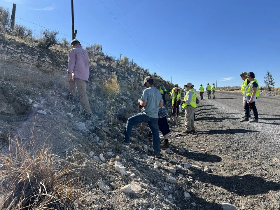
The day dawned chilly and sunny and the temperatures quickly rose above the jacket threshold. GSOC participants donned their bright yellow GSOC safety vests to view the first stops of the day up at Wright’s Point, where trucks regularly whiz by on the highway adjacent to the roadcuts. It was here that Sherrod revealed the stratigraphy he intended to cover on the two-day guided trip – volcanic and sedimentary deposits that have accumulated during and since the Steens Basalt eruptions of the Miocene. We were to start at the top of the stratigraphic column and work our way down into the older material.
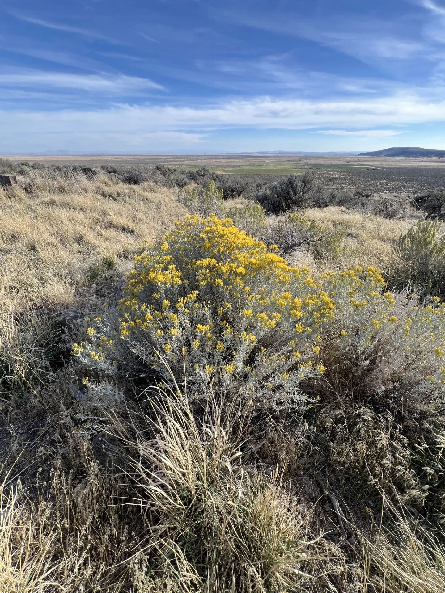
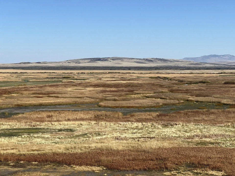
View from Wright’s Point across the marshes to the south. Rabbit brush blooming in foreground.
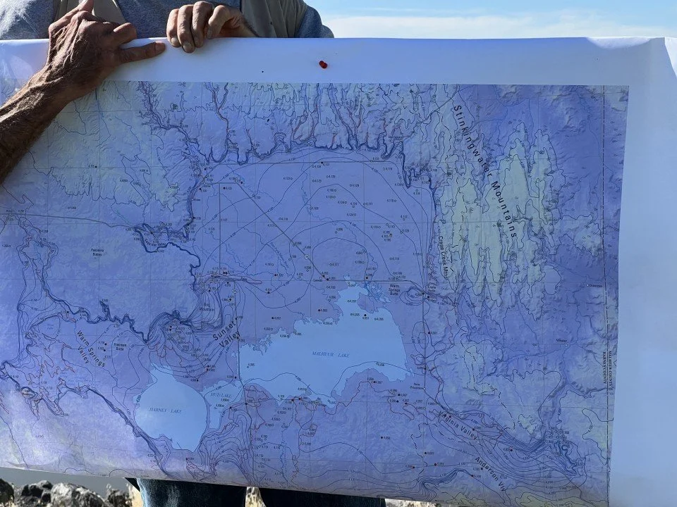
So that is why we began at Wright’s Point, a finger of basalt-capped fluvial and lacustrine sediments just north of the Narrows. The Malheur Basin, stretching both north and south of Wright’s Point, is a topographic basin from which water does not escape these days. The Silvies River drains water from the north and the Blitzen River from the south into this basin. Two-and-a-half million years ago, when the basalt flow (48% silica) capping Wright’s Point erupted, the basin sloped gently (~0.2% slope on the capping flow) to the east and water exited from its southeastern corner through the Malheur Gap near Crane. Wright’s Point basalt filled a meandering stream bed to a point a few miles east of Highway 205. Since the emplacement of the basalt, the entire basin has lost approximately 250 feet of fill through the outlet – and what we are observing now is a classic example of inverted topography. The Malheur Gap drain was plugged several hundred thousand years ago by a lava flow and since that time the lake basin only drains during high pluvial lake stands, such as during the most recent glacial maximum.
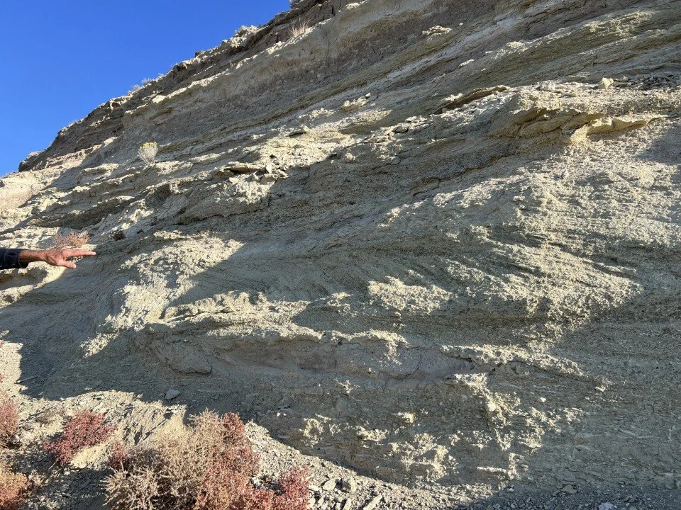
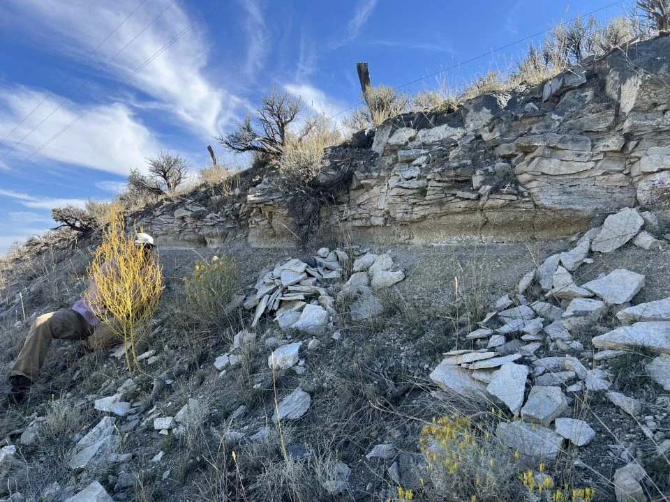
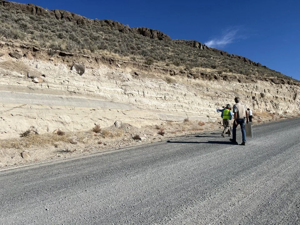
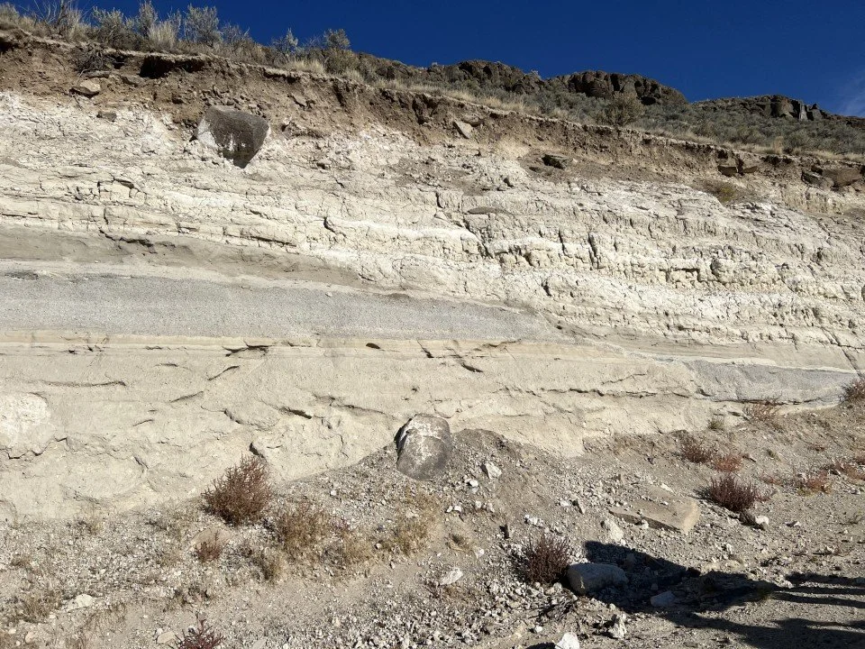
We stopped first at the base of Wright’s Point to observe the mostly fluvial (stream-laid) sediments that comprised the ancient valley fill. Most of the material was smaller than pebble-sized as this area was near the end point of the sediment load heading towards the basin. Some crossbedding was apparent in the layers. A few lacustrine (lake-laid) layers were present, although Sherrod argued that these were probably from local stream impoundments rather than a large, persistent lake, as the basin was regularly draining in the Pliocene.
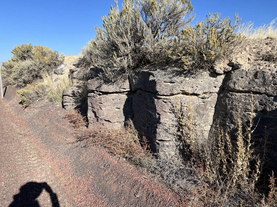
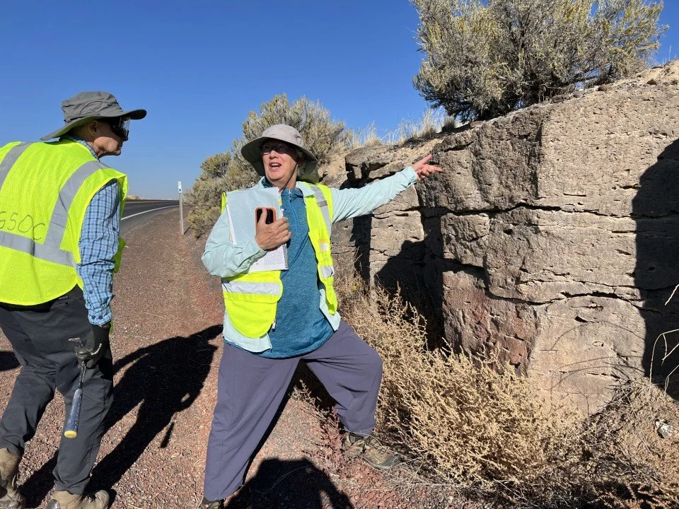
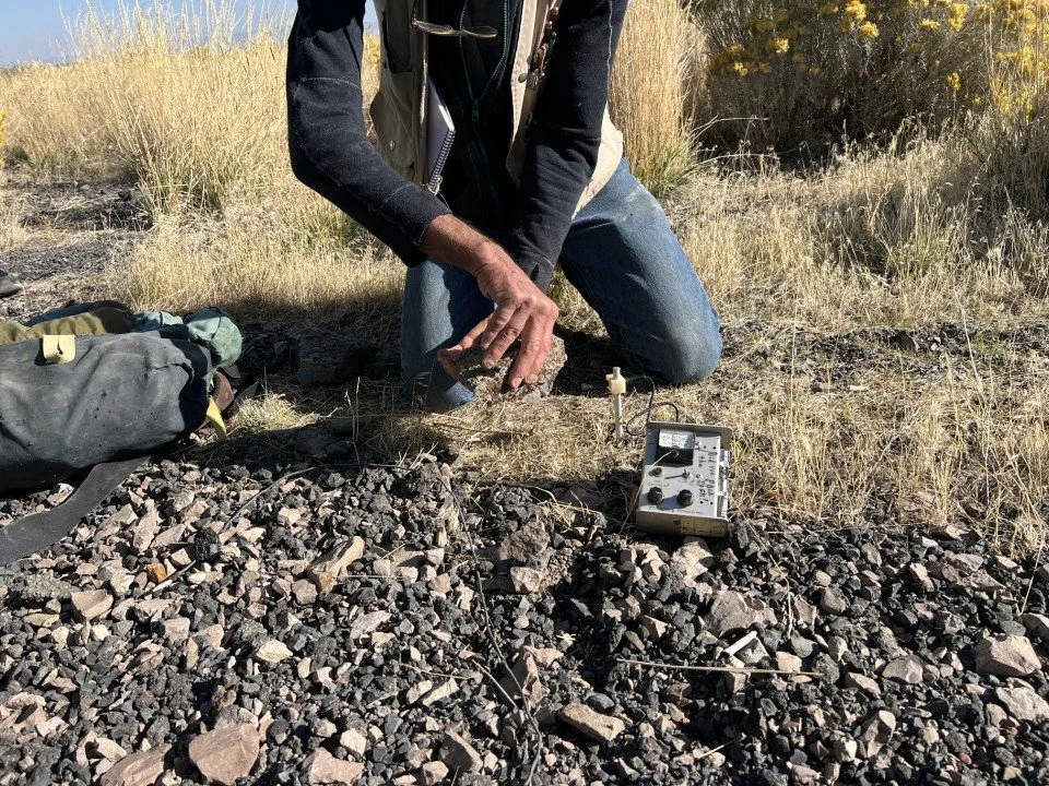
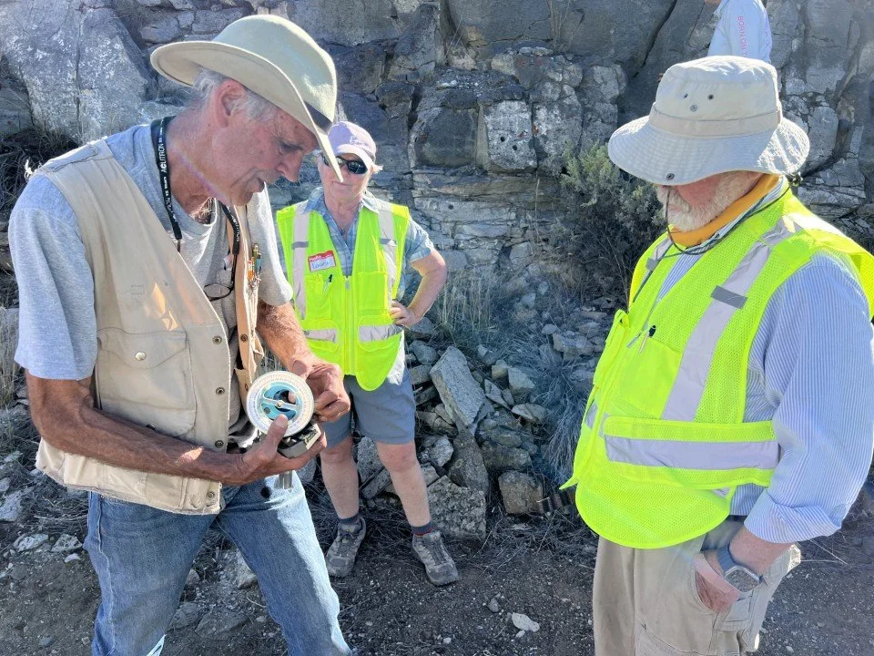
Next, we went up to the top of the hill to examine Wright’s Point basalt. Adjacent to the highway were broad, squat columns of basalt. Sherrod pointed out that this basalt was deposited in the previous magnetic-reverse polarity time, titled the Matuyama, which occurred from 2.6 million years ago (Ma) to 0.78 Ma. He then retrieved a sample and demonstrated how the magnetic polarity could be determined using an old-style flux gate magnetometer. The magnetic declination (N-E-S-W orientation) of the sample could be crudely read using this device.
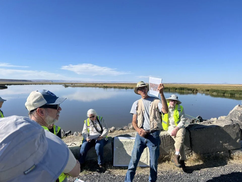
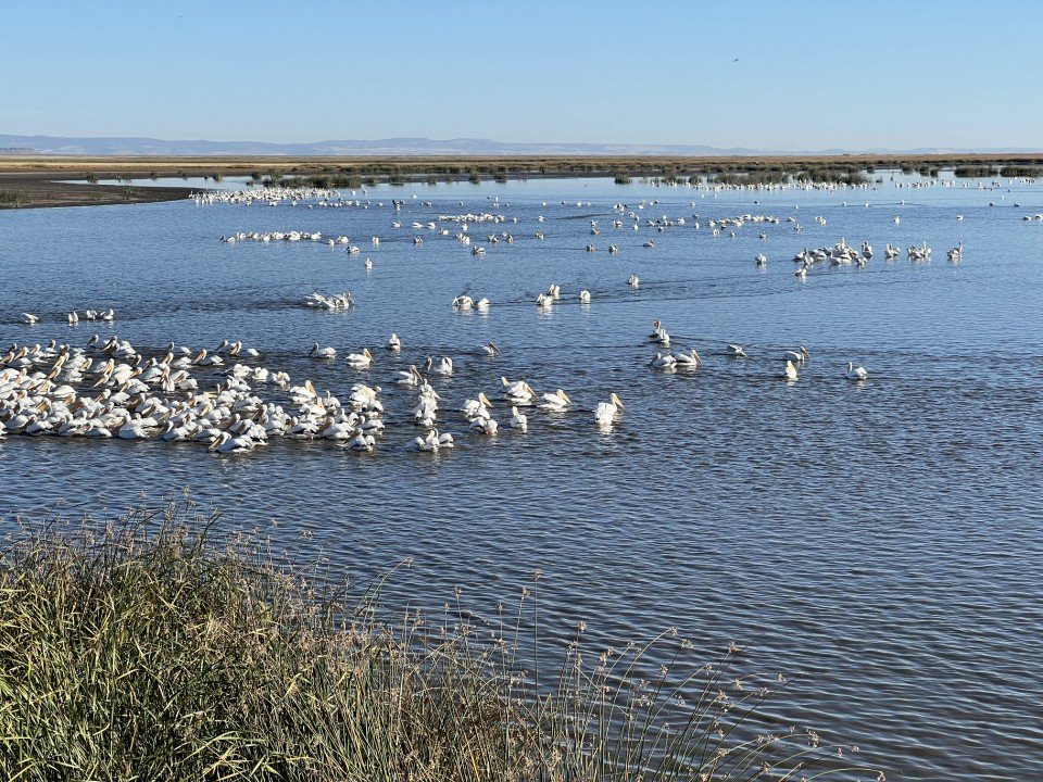
After the paleomagnetic demonstration the group packed back into the two vans piloted by MFS staffers Libby Gillaspy and Justus Anderson. We embarked at the Narrows for stop 2. Sherrod courteously (and wisely) gave the group about 10 minutes to ogle at the birds in the water. A somewhat out of place surf scoter was noted, along with many American white pelicans and a variety of grebes, geese and ducks. Sherrod then reviewed the level of the lakes and how the water interacts between the lakes, hampered somewhat by the presence of dunes that had formed in dry times. The lake levels generally fluctuate with the seasons and groundwater pumping has also made quite an impact on the water level. The most abundant level of the lake in memory was during 1982-1986 seasons and the driest years were 1961 and 1992.

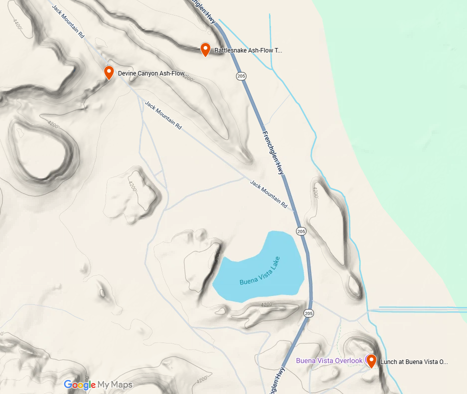
Map of the Buena Vista area with stops 3 and 4.
Upon departing the lakes, the group headed southward to the Buena Vista overlook area to discover two of the most widespread volcanic formations: Rattlesnake [Ash-Flow] Tuff (7.09 Ma) and Devine Canyon [Ash-Flow] Tuff (9.74 Ma), stops 3 and 4. Both of these tuffs were deposited in pyroclastic flows over wide areas of terrain and have rhyolitic compositions. The Rattlesnake is found as far away as Grizzly Mountain (northwest of Prineville) from the Malheur Basin. It can be distinguished from its neighbor, the Devine Canyon, by its general lack of phenocrysts, or larger crystals, in its matrix. The Rattlesnake consists of a matrix of fine glassy shards peppered with clasts of pumice, usually white in color due to composition, and lenses of glass, called fiamme, near the bottom of the deposit, formed from pumice fragments which have collapsed under their own weight. The Rattlesnake is always found stratigraphically above the Devine Canyon, but since the basin has been greatly faulted and eroded, it is not easy to distinguish between the two from a cursory glance.
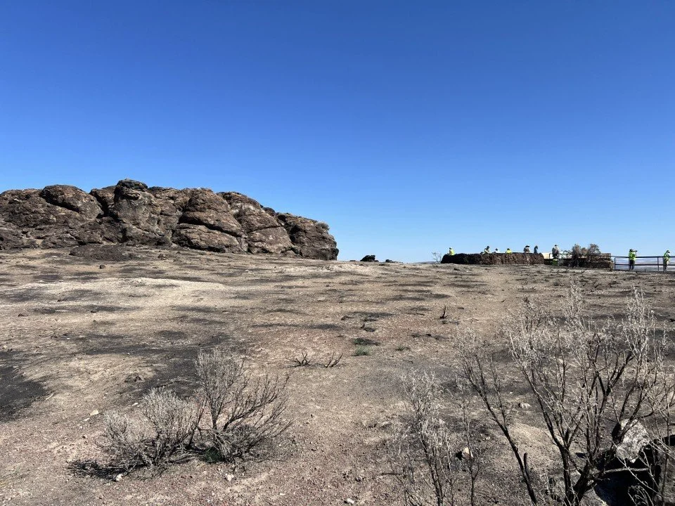
After examining the Rattlesnake Tuff, the group headed to lunch at the top of the Buena Vista Overlook. Looking north across the marsh fed by the Blitzen River, Sherrod pointed out the shield-shaped mounds of Diamond Craters, which we would be visiting the following day. Around the outlook area was evidence of range fires that had swept through the area in the past summer. The group then proceeded to the Devine Canyon Tuff stop, stop 4. The Devine Canyon contains pumice clasts and fiamme like the Rattlesnake, but in addition, a substantial part of its matrix consists of phenocrysts of alkali feldspar and quartz, making it look as if it has been salted with margarita salt. The group examined the rimrock outcrop at stop 4, noting its features and texture.
We next headed a bit further south to catch a glimpse of the Steens Basalt at its northern exposed edge. This material is one of the oldest sections of the Columbia River Basalt Group and has been dated at 16.7 Ma. At stop 5, three different flows were stacked along the hillside which was capped with Devine Canyon Tuff. Here the exposures of basalt were uniformly fine grained in texture, although there are highly porphyritic exposures of Steens Basalt in other locations which contain large feldspar crystals. At stop 5 the thickness and structure of the exposure is not very impressive. Just to the south of stop 5, the thickness of the basalt on the cliffs facing the highway is about 250 m thick and many layers can be discerned. However, the time spent traveling further south had to be weighed against completing the stop circuit by dinnertime, and we pushed on to stop 6.
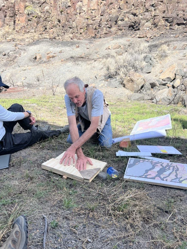
But before we left stop 5, we took a short break in the shade of a dump truck used for hauling some of that nice hard basalt rock away for, one presumes, roadway aggregate. Sherrod brought out some homemade models he had constructed to demonstrate how the regional faulting had taken some level, easy to interpret volcanic flows and turned them into the 3-D jigsaw puzzle of disassociated pieces that we see today.
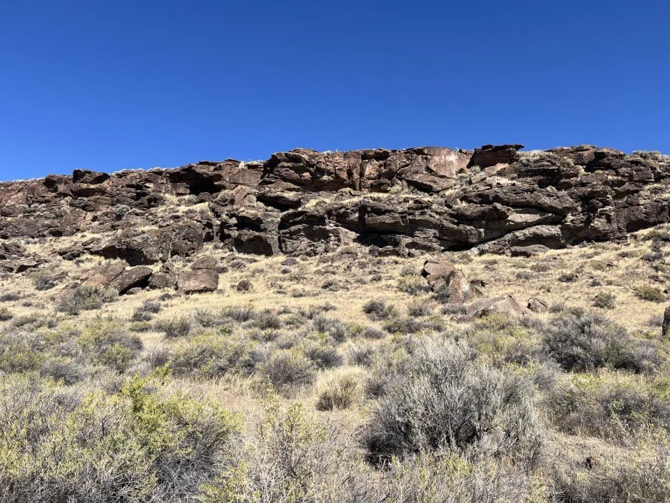
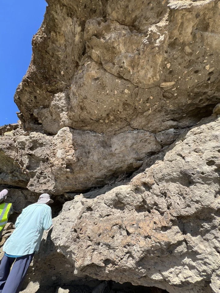
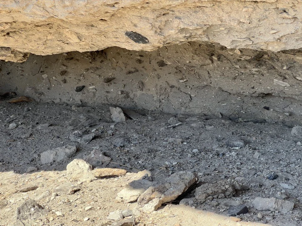
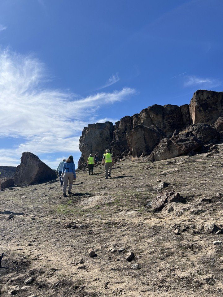
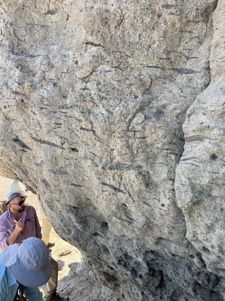
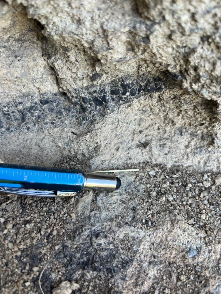
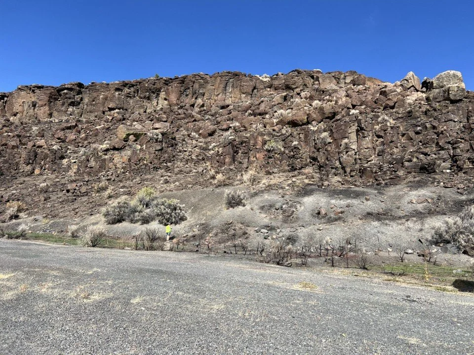

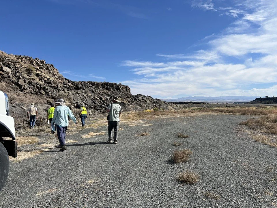
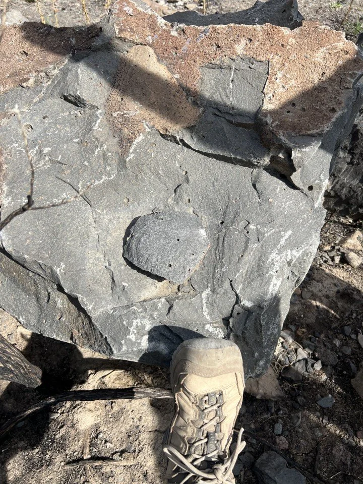
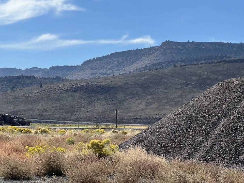
For stop 6, Sherrod had identified an interesting outcrop of densely welded Devine Canyon Tuff underlain by air-fallen tephra along Diamond Lane west of its intersection with Lava Beds Road. One can hardly imagine the blast that laid down a blanket of over a meter of ash and larger sized clasts prior to a wave of glowing glass that covered the area several feet thick from 40 miles away! Sherrod had some fun measuring activities prepared for this outcrop. Denny Chamberlin volunteered to drill a sample from the outcrop. Sherrod then used a fancier paleomagnetic gadget that used a sun compass and a magnetic compass to measure both the declination and inclination (angle from the horizontal) of the sample. He also was able to locate the base of the tephra and measure its depth (1.1 m).
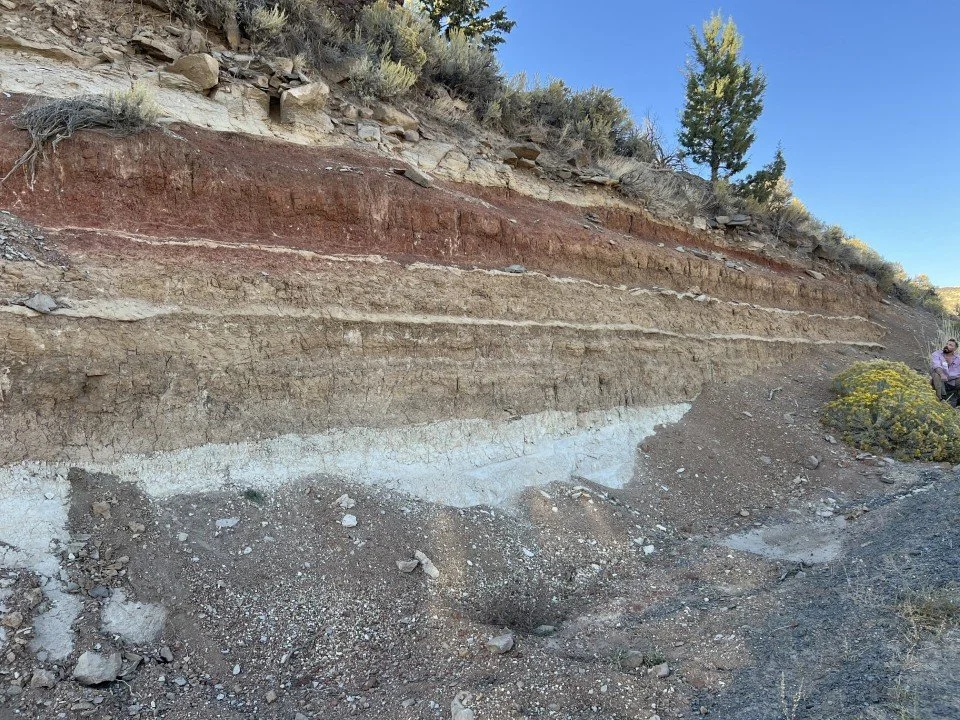
The last two stops were made at a roadcut that wraps a hill as one ascends from the valley to the highland northeast of the village of Diamond along Happy Valley Road. The hill is capped with Devine Canyon Tuff, which makes the sediments below it older than 10 Ma, but younger than the underlying Steens Basalt at 16 Ma. On the lower, westward facing portion of the cut, we were looking at layers of volcaniclastic and lacustrine sediments that outlined a fault cutting and displacing them. Additional faulting parallel to the cut could be discerned by noting slickensides on the face of the cut. Around the corner and up-section from the previous stop, we observed a lahar deposit at the base of the cut overlain by a thick layer of paleosol, which in turn was overlain by Devine Canyon Tuff. Sherrod thinks that the paleosol did not develop from the lahar material below; perhaps it was wind-transported. He also thought that the extreme red color on the upper section of the paleosol may have resulted from baking when the Devine Canyon Tuff covered it.
Having covered samples of the stratigraphic section and exhausted their energy, the group turned towards the field station and a delicious dinner cooked by the MFS staff.


Day 2 – Diamond Craters
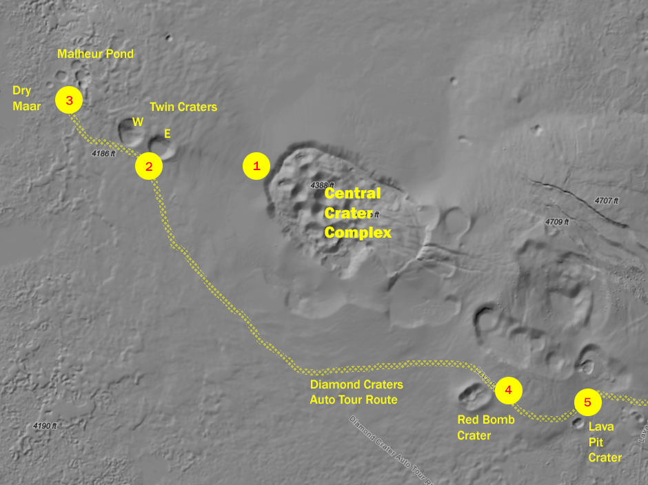
Map of the area between the Northwest dome and the South dome with trip stops shown. Base is DOGAMI lidar.
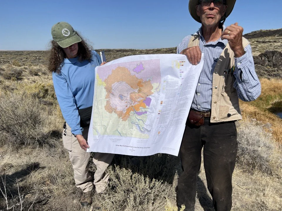
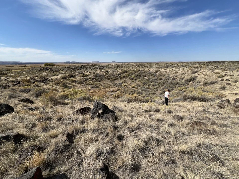
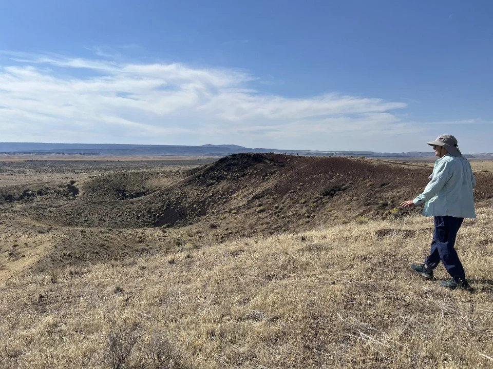
Diamond Craters, a much more recent volcanic feature than those visited the day before, is in general a series of basalt domes and associated steam-blasted craters that erupted between 7790 and 7320 years ago. Six major domes were formed when basaltic magma, melted at the crust-mantle boundary, erupted as lava on the surface, followed by more magma that was injected into sills in the shallow subsurface. This hot surface and subsurface rock then reacted with the local groundwater to create over 90 explosion craters, many of which are located within the Central Crater Complex of the Central Dome. In addition to the dome features, Diamond Craters contains lava lakes and spatter cones and a blanket of tephra created from the steam explosions.
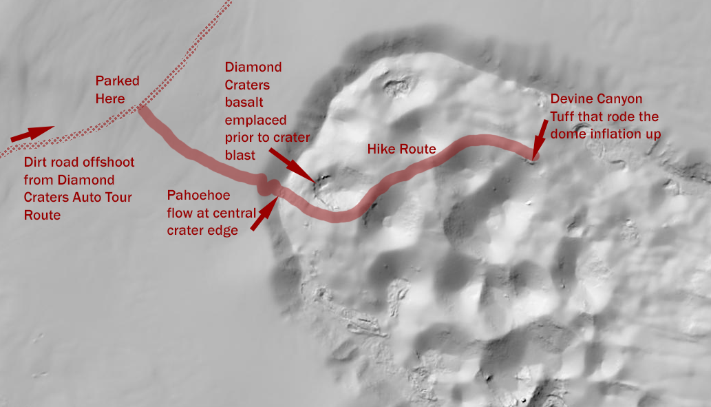
Central Crater Complex hike map. Base is DOGAMI lidar.
Keeping in mind the heat of the previous day, the group decided to tackle the Central Crater Complex hike before exploring the auto stops at Diamond Craters. Along with lava flows and tephra, the group’s target features included an outcrop of Devine Canyon Tuff on the walls of one of the craters. Sherrod surmised that this outcrop represented a mass of parent rock that was uplifted into the dome by the injection of the subsurface sills of basalt below. The hike was fairly short, but the heat of the morning plus the steepness of the walls of the Central Crater Complex meant that not all of the participants could reach the ultimate goal. However, most made the trek and were rewarded by glimpses of the outcrops plus some interesting flora along the route. Not all of the flora were friendly though; there were a lot of twiggy things clinging to our pants at the end of the hike. A good argument for wearing appropriate clothing.
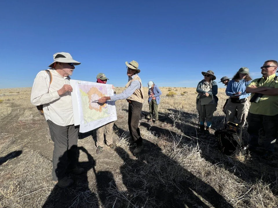
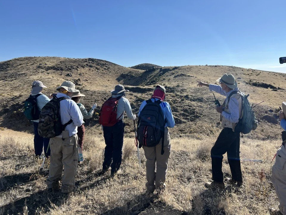
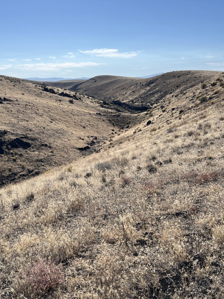
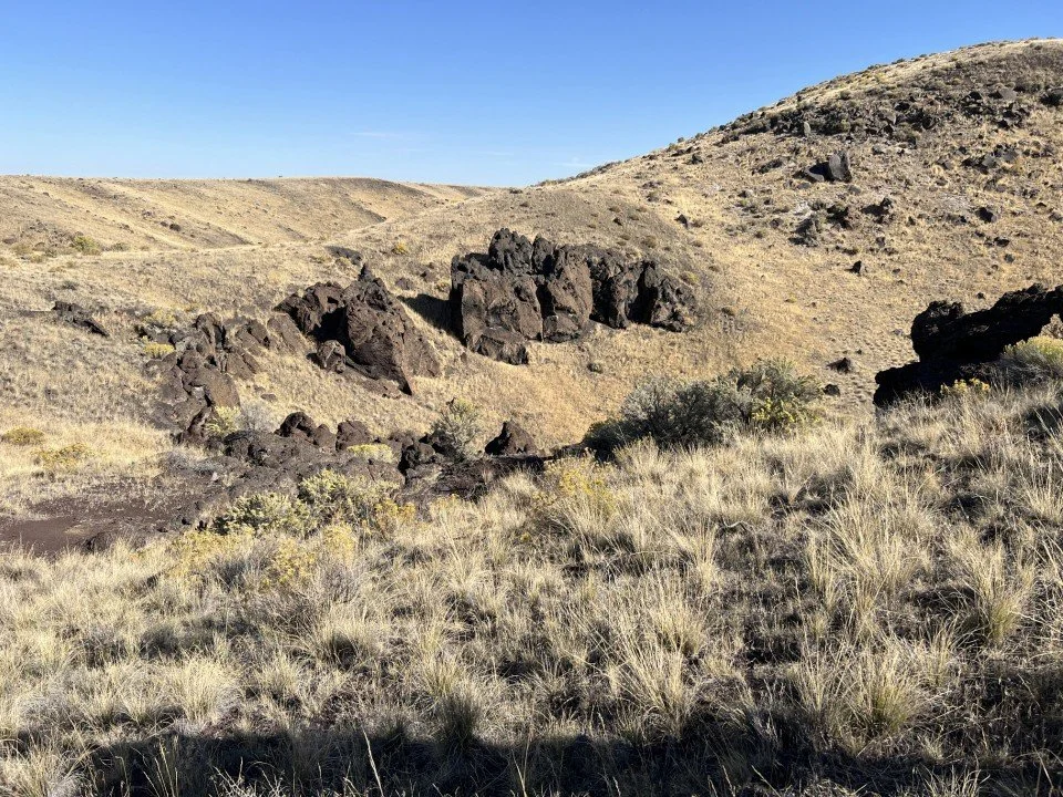
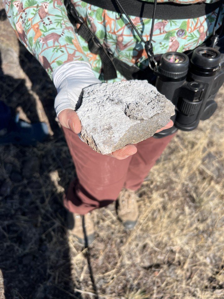
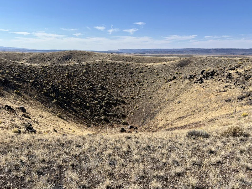
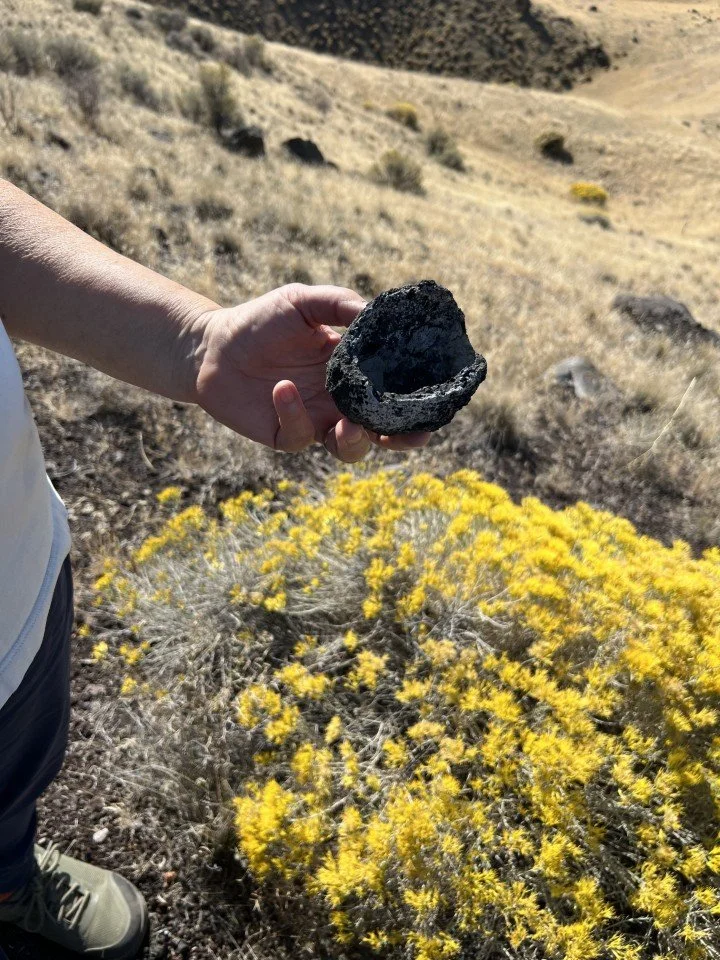
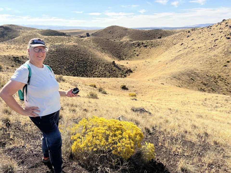
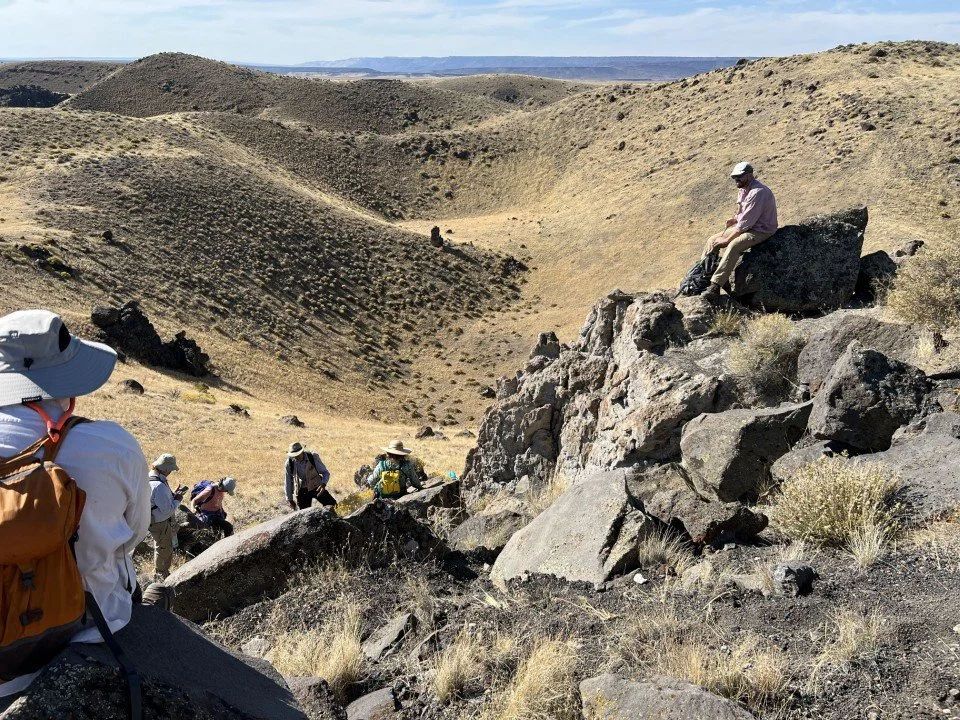
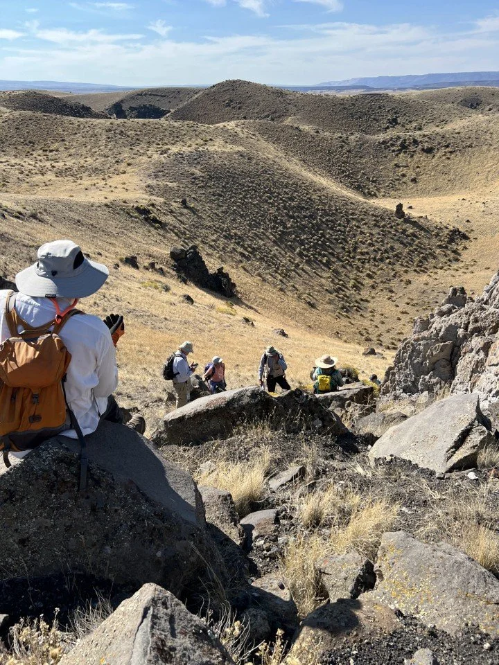
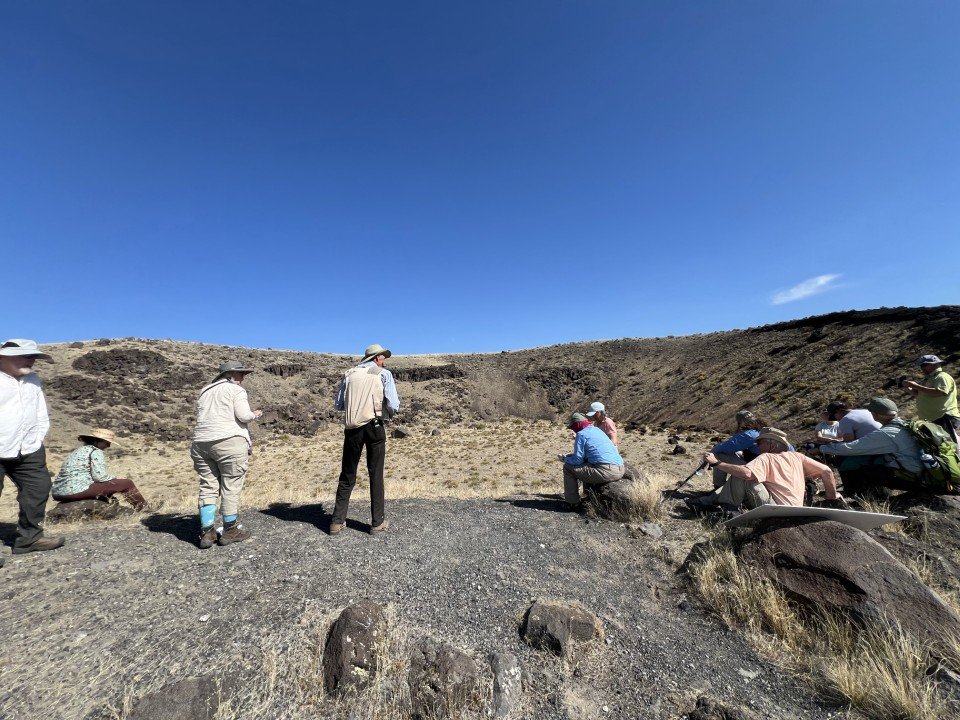
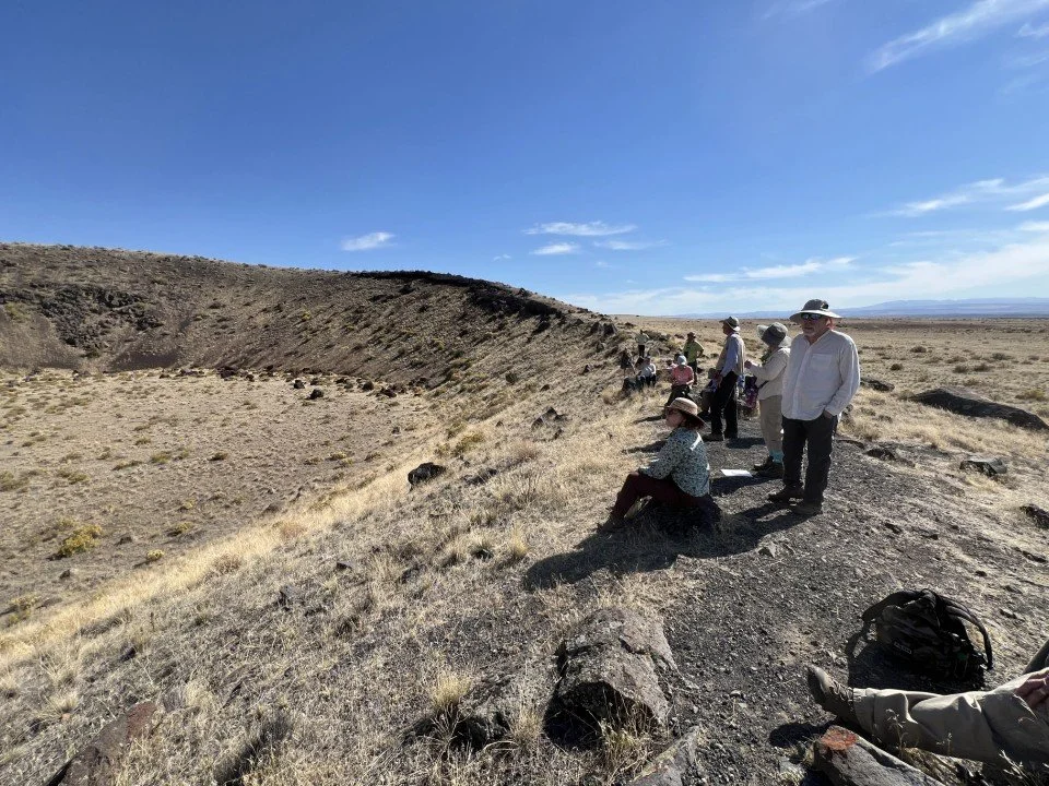
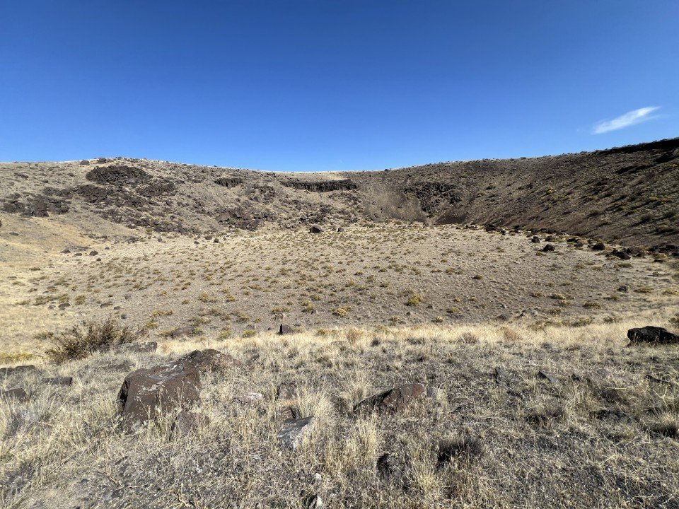
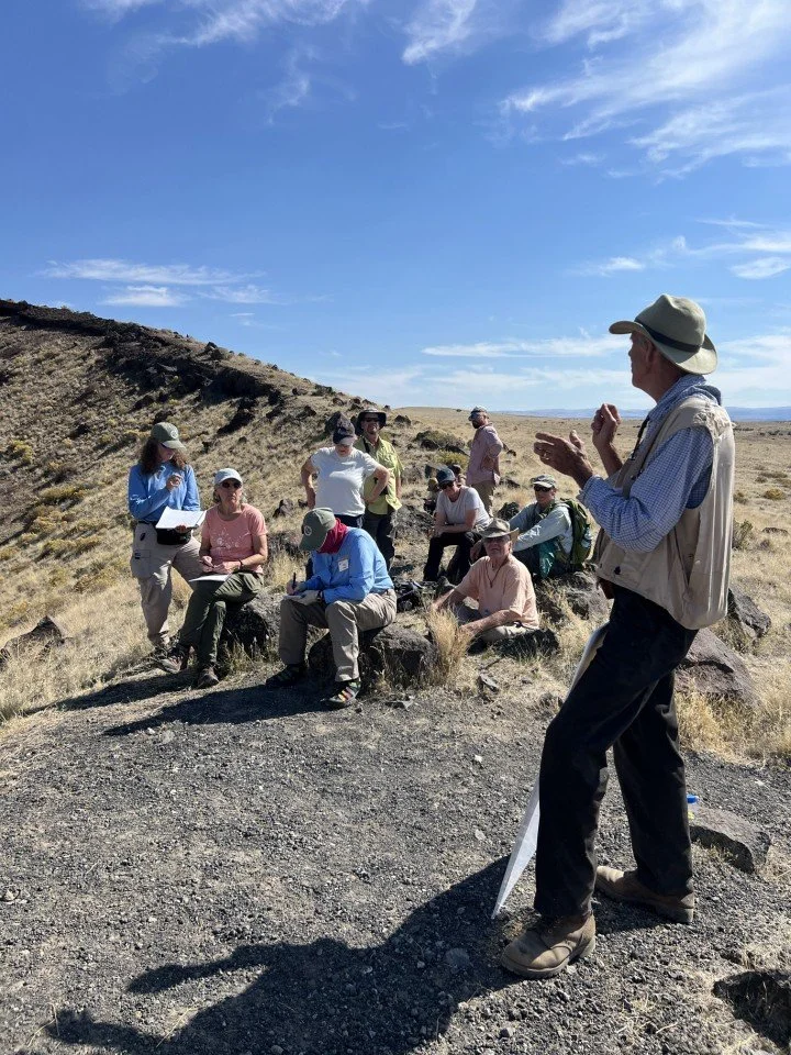
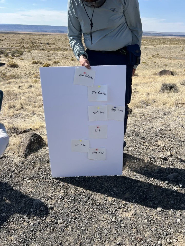
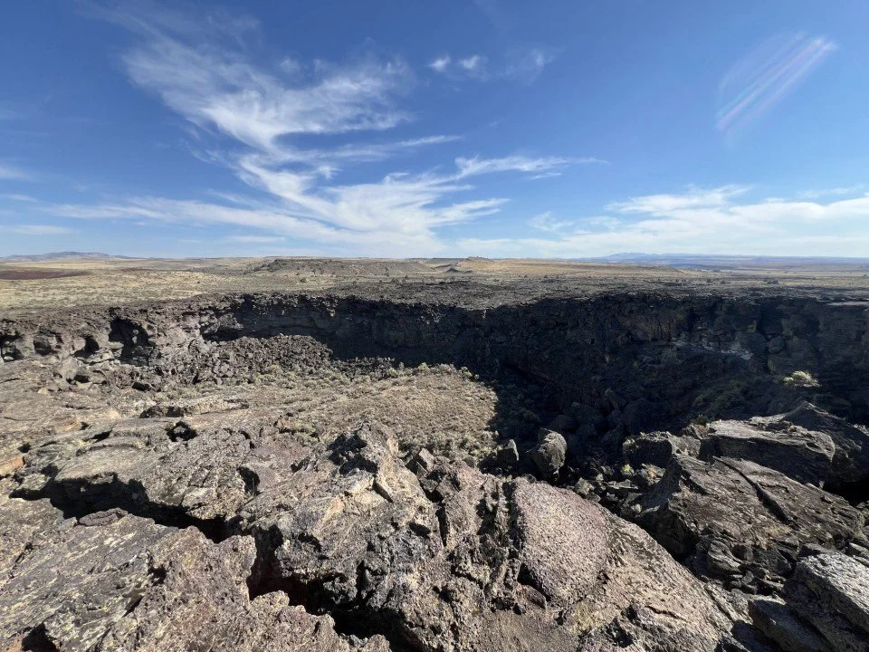
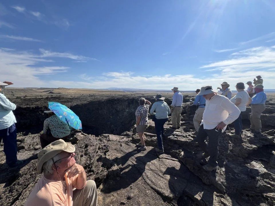
Next the group tackled the East Twin Crater to the northwest of stop 1. Sherrod had a challenging assignment for the group here – determine the major events in the creation of this flat-floored crater and their sequence. Here is the list from earliest to latest in my own words:
· · Surface flows of lava which created the band of crude basalt columns high on the walls of the present crater and also a filled lava tube.
· Tilting of the dome complex by the injection of the subsurface sills.
· Steam explosion which formed the shape of the crater walls and deposited tephra around the crater, some of it big blocks
· Rising magma which created a lava lake within the crater and made the base of the crater flat.
· Much more tephra arrived from the explosions in the Central Crater Complex and covered the lava lake.
· Slope failures created talus piles along the crater walls.
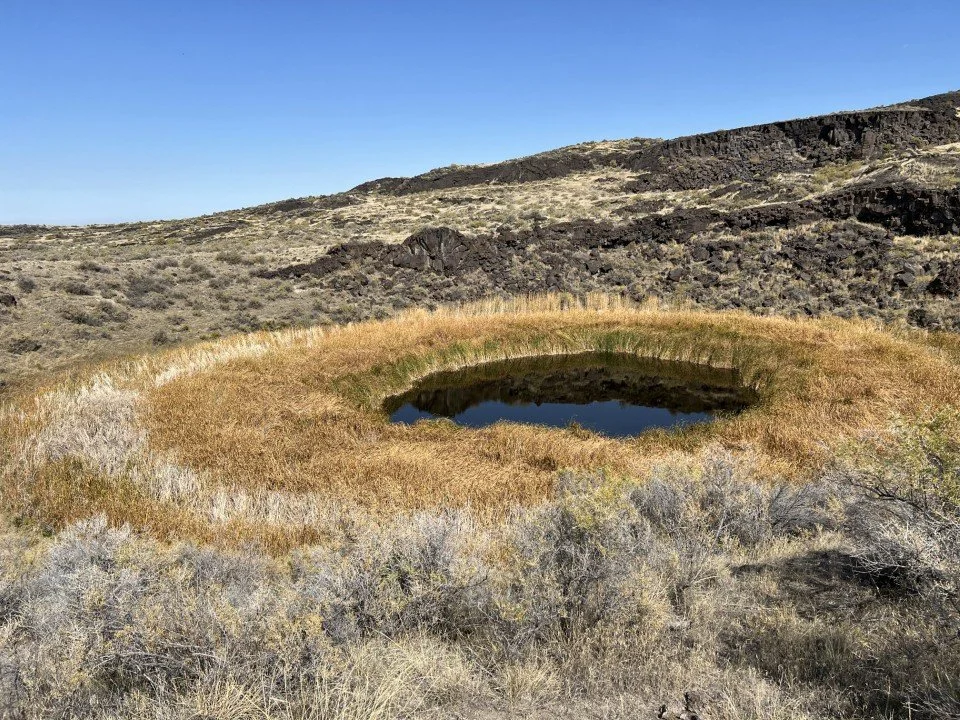
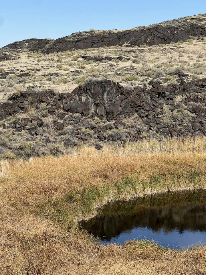
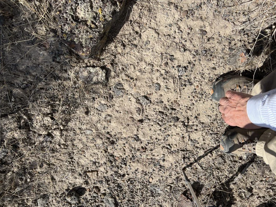
Diamond Pond, our next stop, sits in an explosion crater on the extreme northwestern edge of the Diamond Craters area. The pond is fairly shallow at present, but the original crater that it occupies was about 90 ft deep. Most of the fill in the crater is tephra and talus from the original crater walls, but there has also been an accumulation of sediment and organic material. This organic material can be dated and provides some information about the age of the explosion craters. The water level in the pond sits at the groundwater surface of the surrounding terrain, making this a natural spring. Nearby Dry Maar was of interest because the explosion which created it spewed out globs of pebbles from the ancient Blitzen River bed.
We hopped back in the vans and rode to the Southwest Dome of the Diamond Craters area. On the western edge of the dome sits the Red Bomb Crater. We stopped there and briefly viewed this scoria cone complex, a relatively unusual feature in the area.
Lava Pit Crater, a little way east of Red Bomb Crater, was our last geological stop of the tour. It is like a very small version of the Halemaumau Crater on the Big Island of Hawaii with its dark basaltic structure and flat lava lake bottom. It was a fitting reminder that Oregon is volcano country!
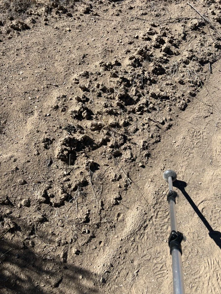
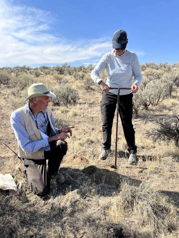
Sherrod had one last task for the group and needed a volunteer to dig an auger hole to determine the depth of the tephra blanketing the roadside across from the Lava Pit Crater. Jess Huck, one of the younger whippersnappers in the group, volunteered and began augering. She got to the bottom of the tephra and determined a depth of 75 cm. Sherrod pointed out that the largest particles in each auger sample brought to the surface increased with increasing depth.
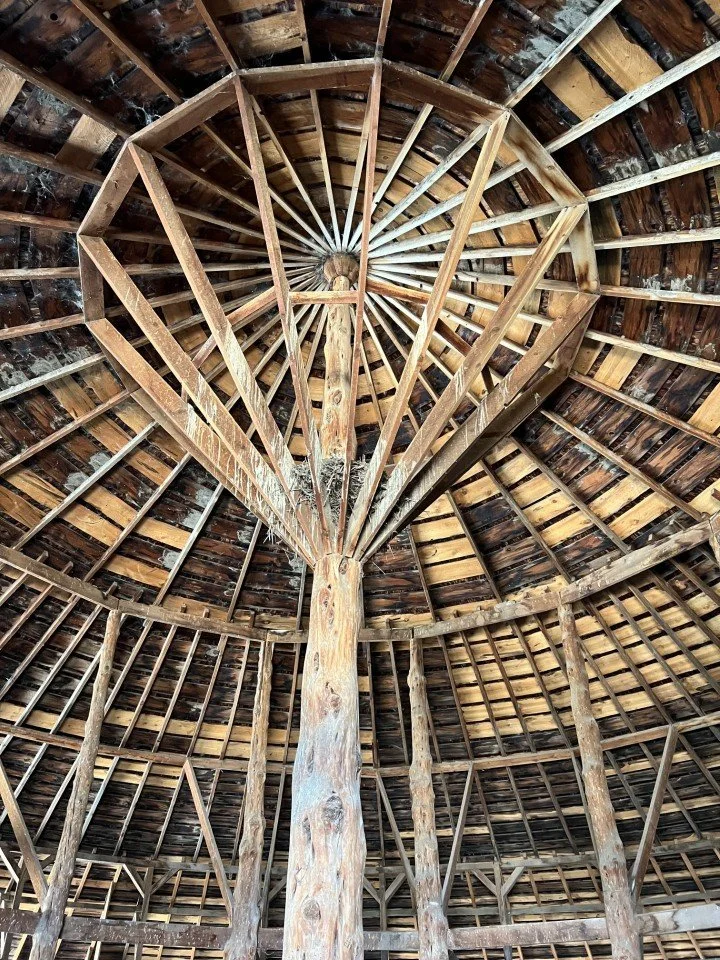
Central post of the Pete French round barn.
The group decided to return to MFS on the eastern gravel route so they could tour the Pete French Round Barn, a historic icon of the cattle baron days of the wild west. French had cleverly designed and built a stone and wood structure that served as both a corral and exercise pen for horses in winter. The roof of the barn had been damaged by fire several years before but had been rebuilt by history-conscious community members.
That was the conclusion of a rewarding trip into the Oregon outback for GSOC. Hopefully we will be able to do another trip at Malheur Field Station in the near future. We would also like to encourage GSOC members to check out other interesting programs at MFS – there are birding and astronomy programs as well as geology, plus arts and wellness. You can also rent a small unit and make that a base for your own exploration of this interesting area.
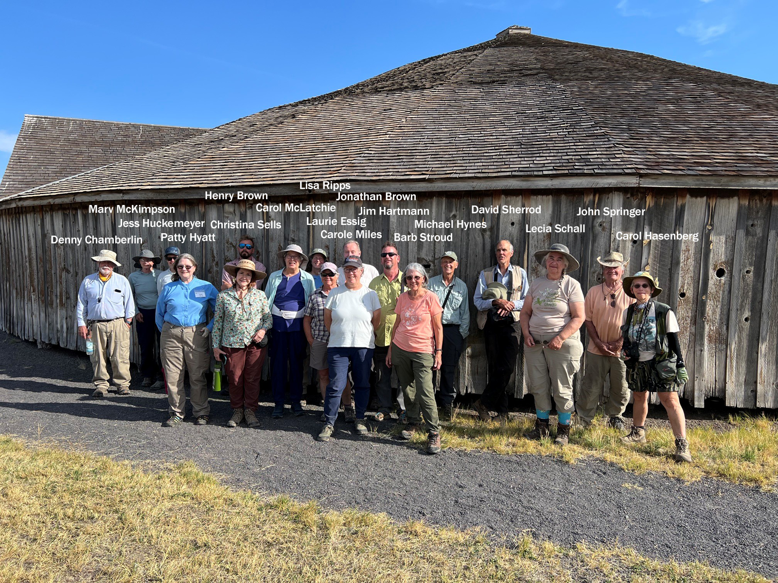
Group photo taken at the Pete French Round Barn.
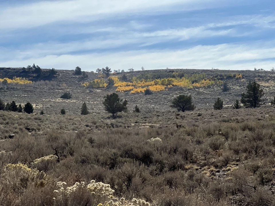
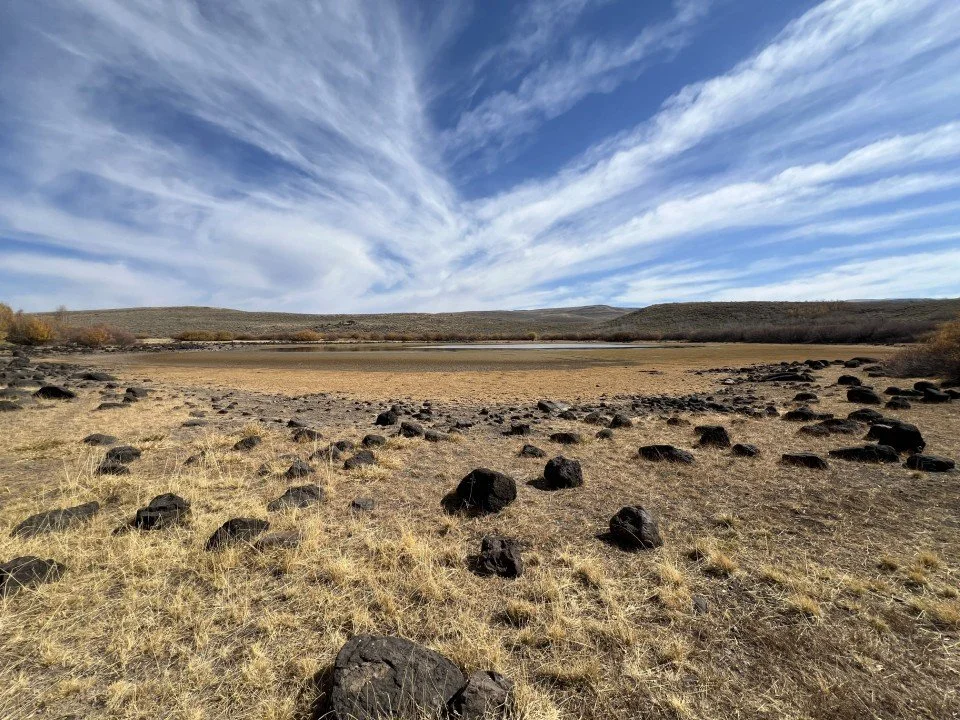
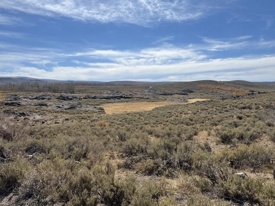
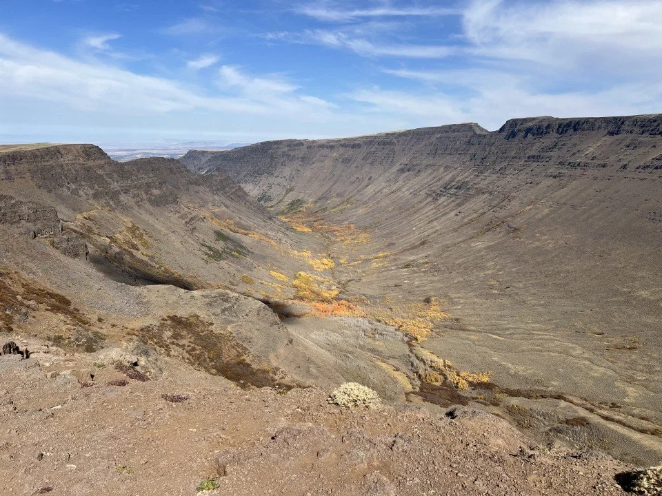
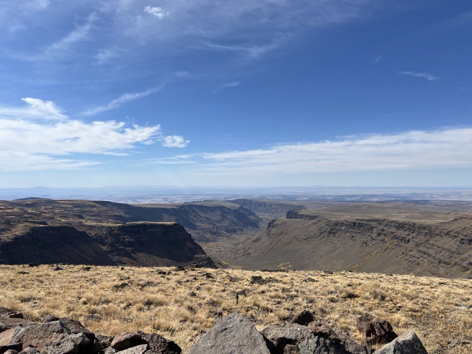
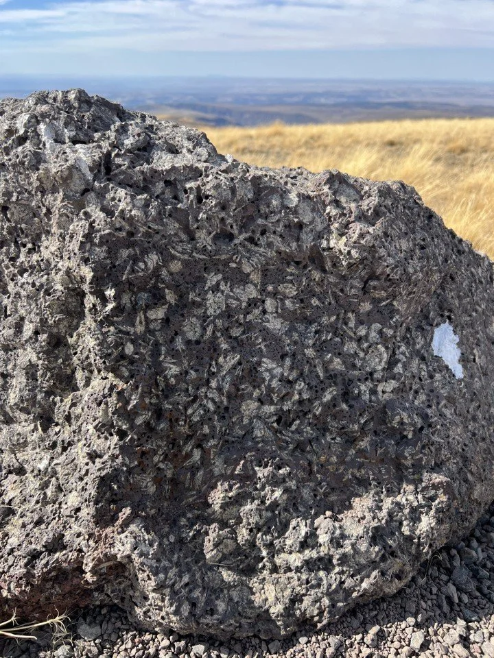
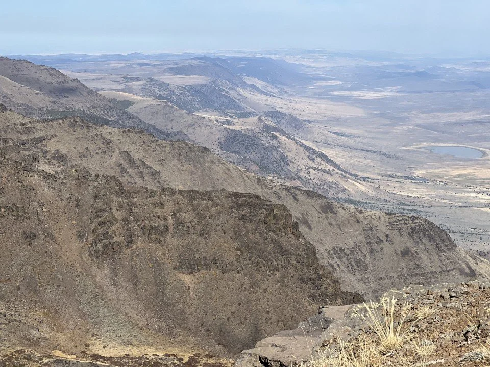
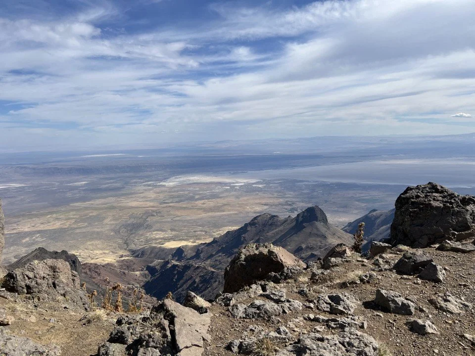
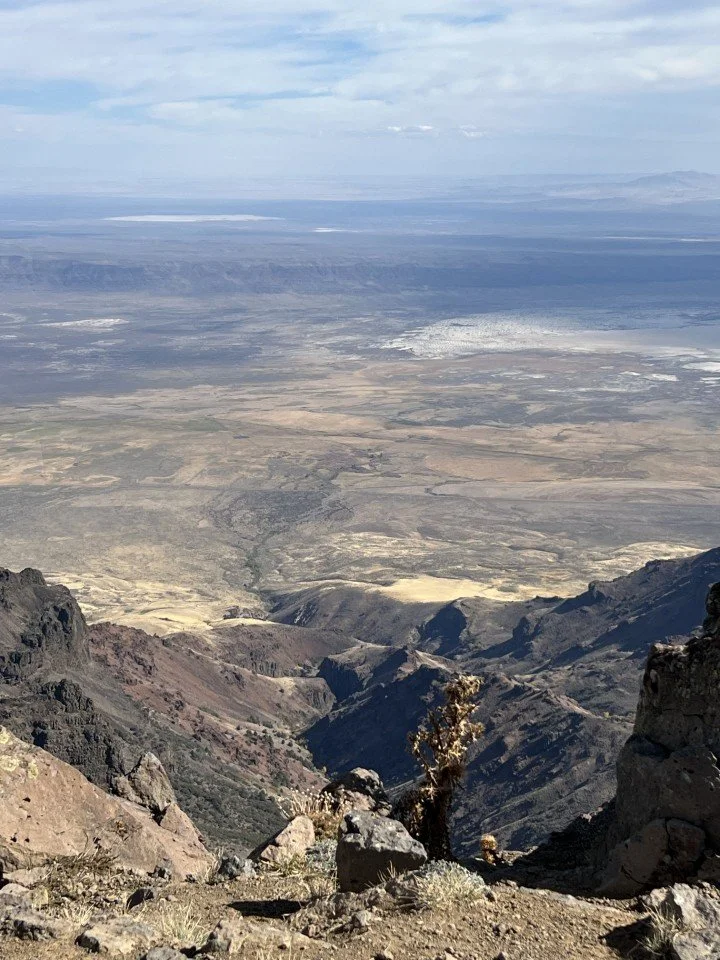
Coda – Patty Hyatt and I decided to stay an extra day and travel to the top of Steens Mountain, the highest point you can drive to in Oregon. I’ve included a few photos of that journey for its geologic interest and its 360-degree, jaw-dropping views to the horizon. Enjoy!
Additional reading:
Diamond Craters article for the Oregon Historical Society by David Sherrod